
- Hikes in Arizona
- Northern Arizona
- Campbell Loop trails
Campbell Loop trails
Location
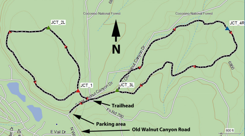
From the Flagstaff area, take I-40 East to the Country Club drive exit. Turn right (south) and take this road 0.8 miles. Turn left onto Old Walnut Canyon road and take this paved road 0.9 miles. The parking area for the Campbell Loop trailhead is on the left. After parking here, you'll walk about 500 ft up the dirt road to the start of the loop trails.
Hike details
Anasazi loop: 2.6 miles
Season
- June
- July
- August
Solitude
Difficulty
Permits
Hike of the Continental and Anasazi loop hikes in the Campbell trail system near Flagstaff, Arizona.
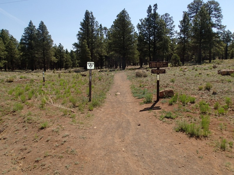
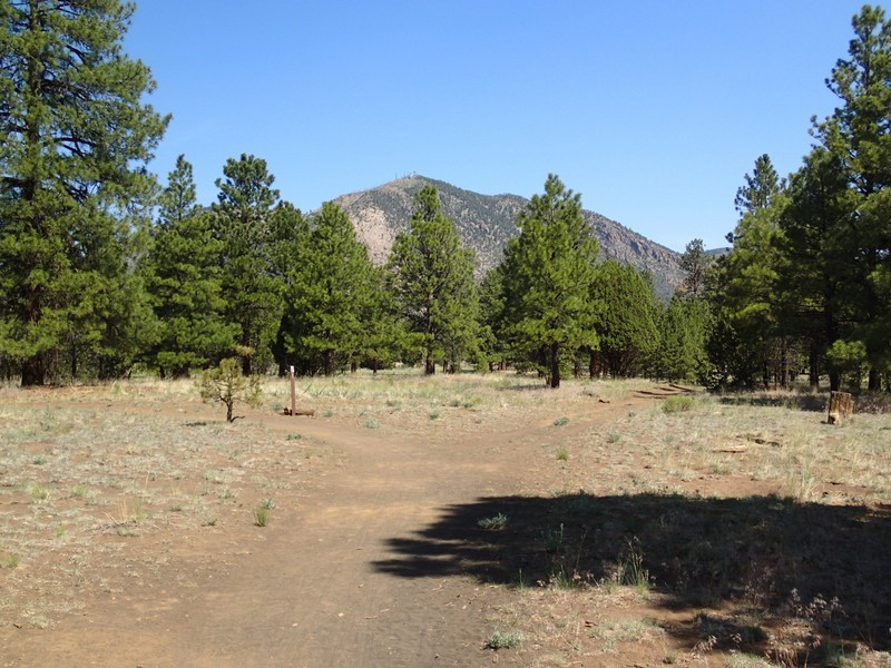
From the parking area, walk along the dirt road 0.2 miles to the trail start sign containing a map of the trails in the area. To the left is the unsigned start to the Continental Loop hike. Straight ahead and across the road is the signed start of the Anasazi trail.
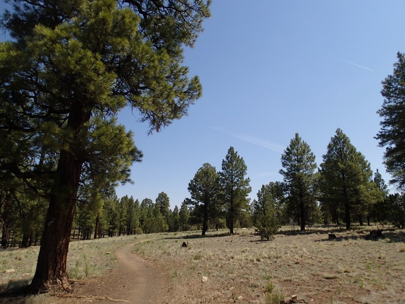
For the Continental loop, continue on the easy to follow trail for about 500 ft where you'll reach a sign for the loop (JCT_1 on the map). You can take the loop in either direction. We arbitrarily chose counter clockwise. The path though the pine forest is easy to follow as mount Elden peaks out at you while you hike north. The only route finding is a dirt road that takes off to the right (JCT_2L on the map). Stay left here and you'll stay on the correct trail as it bends west. Soon the trail bends back south for the return, where you'll enjoy some elusive views of Duck lake through the trees. The entire loop is 1.8 miles long.
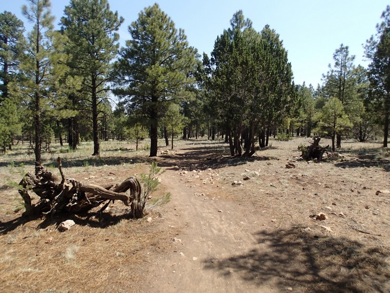
For the Anasazi loop, after crossing the road and following the signed trail, you'll walk 0.2 miles to a signed trail junction (JCT_3L on the map). Stay left here and walk through the sparse pine forest for 1.1 miles to the next signed trail junction (JCT_4R on the map). Turn right here and continue along the loop as it doubles back west to the trailhead start. This loop is 2.6 miles long.
