
- Hikes in Arizona
- Phoenix Area and Central Arizona
- Rondo Spring
Rondo Spring

Location
From the Phoenix area, take I-17 North to the New River exit. Head east (right) on New River road. After about 0.2 miles, turn left to stay on New River Road. Take this paved road about 6.1 miles from the freeway to Circle Mountain Road. Turn left here and drive 1.5 miles to 16th street. Turn right on 16th street and drive 0.5 miles to Cavalry road. Turn left onto Cavalry road and take it 0.5 miles to the state trust land gate. This trailhead is nestled in a neighborhood, so please minimize your impact by being respectful to private property and parking appropriately. Your positive actions at the trailhead will go a long way in making sure the public has access to this area.
Hike details
Season
- January
- February
- March
- April
- May
- October
- November
- December
- July
- August
Solitude
Difficulty
Permits
Hike to a remote spring near New River, Arizona.
Note: This hiking area is currently state trust land. Please get a state trust land permit before hiking here.
If you've driven past New River on I-17 but never taken the turn off into town, you would never know how large the town is. Interestingly, there is also some pretty good desert hiking for those of us seeking solitude. The hike to Rondo Spring is a good example.
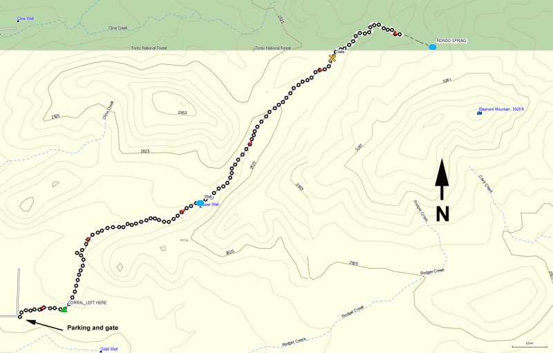
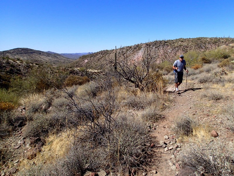
From the parking area, go through the gate labeled with the state trust sign (close it behind you). You'll walk along a desert road that gets a little bit of use from the ATV folks for about 0.3 of a mile where you'll see a working corral (CORRAL_LEFT_HERE on the map). Take a left here and follow the road as it turns generally North. You'll soon reach a wide clearing and the road start to jog left back towards the houses. Look for a single track trail that continues to head North. It is currently marked with pink ribbons in nearby trees. This trail can be tricky to follow and can be rocky, but if you use those route finding skills you can stay on the right track.
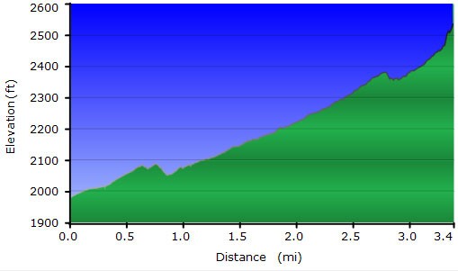
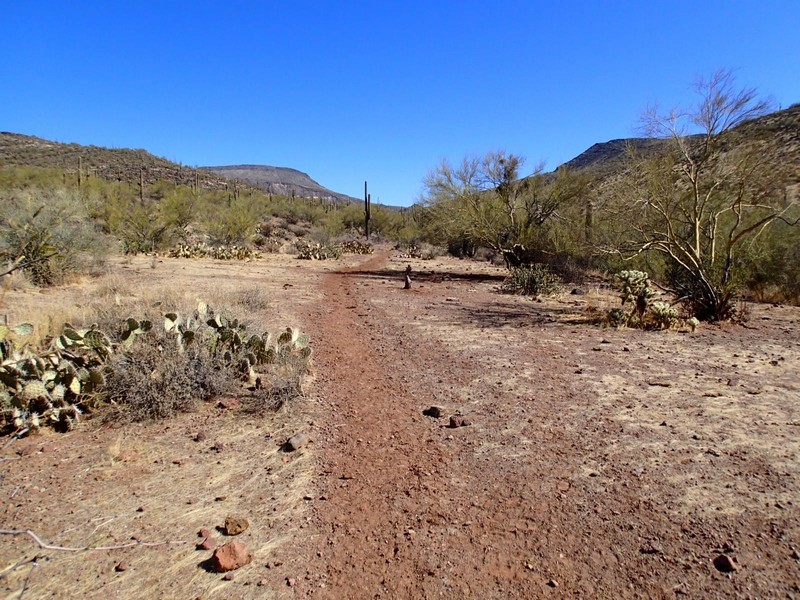
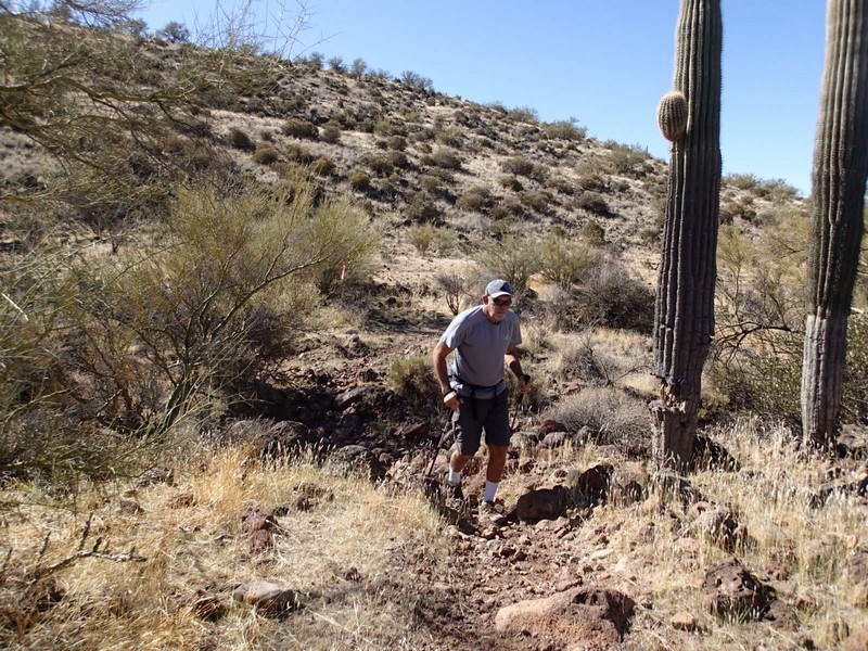
The trail generally follows a typically dry wash, once in a while going in the wash itself, but mostly staying on one of its banks. After 1.4 miles of total hiking, you'll reach a location marked on topos as "Upper Well" (on the map marked as WELL). There is a large water tank here with a few cement water catchments. Continue on the single track up the wash. The trail gets easier to follow, but it is easy to miss when it climbs back out of the wash, so stay vigilant. You'll notice Elephant Mountain on your right as you near the spring. When you go through a gate that marks the boundary between state trust land and the Tonto national forest (close it behind you) you'll know you're getting close to the spring.
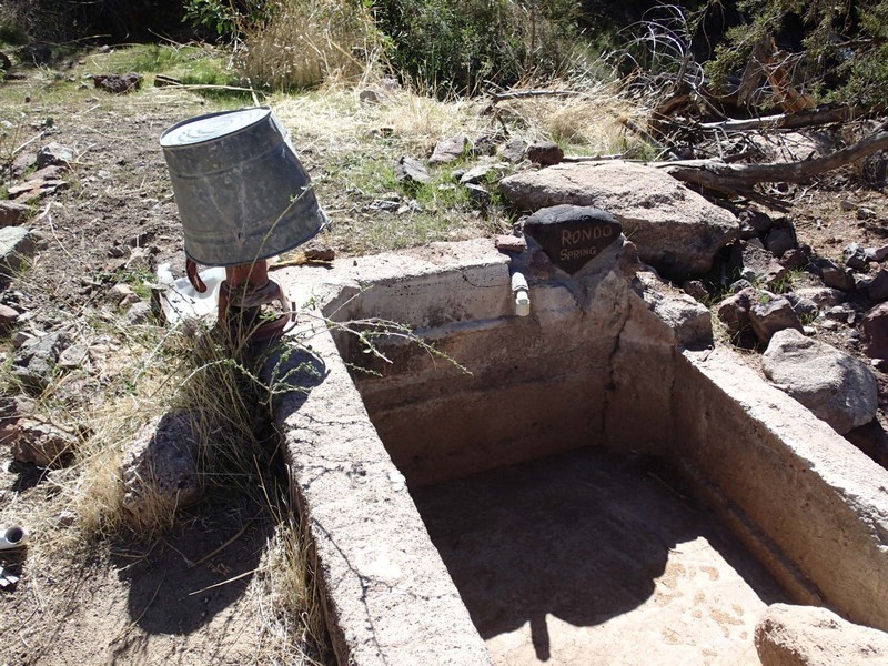
After four miles of total hiking, you'll reach the easily spotted Rondo Spring (RONDO_SPRING on map). The spring is functional, but seasonal. This area is actively used by the ranchers in the area and is worth exploring. When ready, return the way you came.
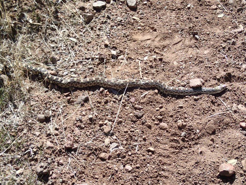
This area is actively ranched so you'll likely run into cows. Give them a wide berth and they'll generally leave you alone.
