
- Hikes in Arizona
- Mogollon Rim
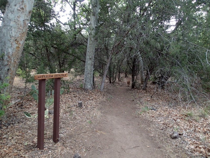
- West Clear Creek (Bull Pen Ranch)
West Clear Creek (Bull Pen Ranch)
Location
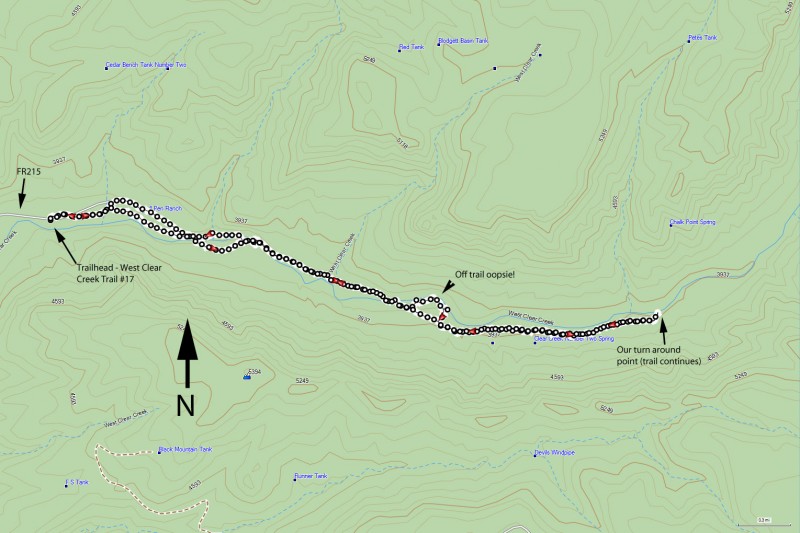
Take FR618 for 2.2 miles and turn right on signed FR215 (Sign to Bull Pen Ranch). FR215 ends at the trailhead, which is 3.2 miles away. Although the dirt road is in pretty good shape, high clearance vehicles are recommended. There is a pit toilet at the trailhead. Camping in this area is restricted, so please follow the instructions on the posted signs nearby.
Hike details
Season
- April
- May
- September
- October
- January
- February
- December
Solitude
Difficulty
Permits
Hike up West Clear Creek using the Bull Pen Ranch trail on the Mogollon Rim in Arizona.
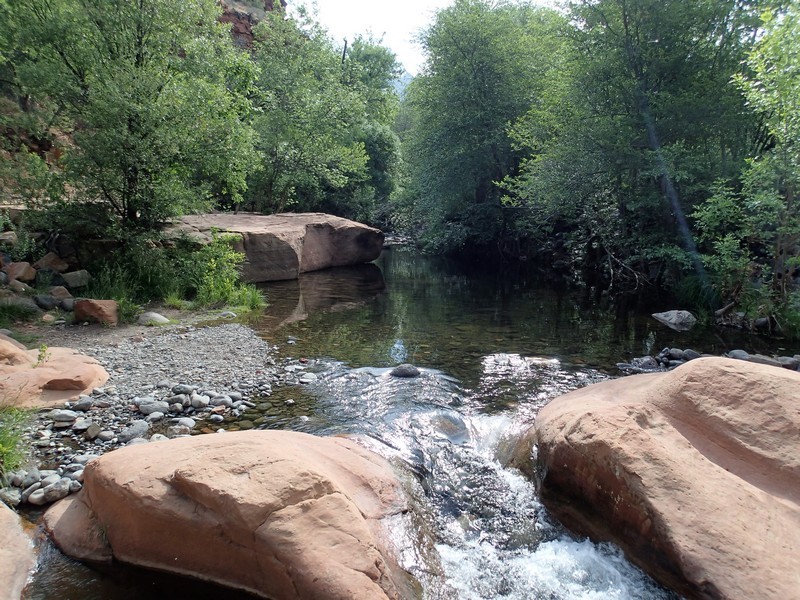
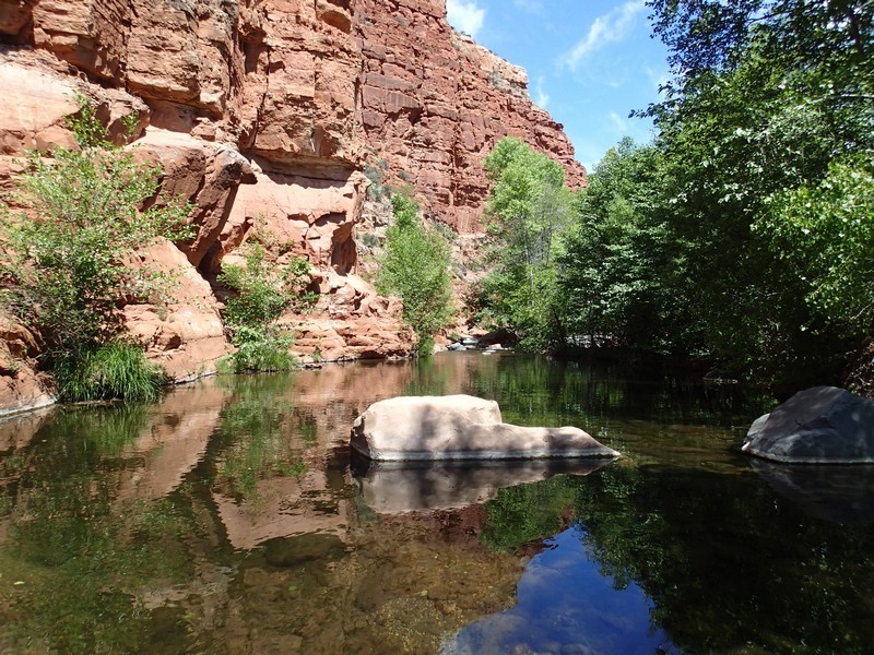
Water in the desert is always a rare and magical thing. The West Clear Creek wilderness is truly worthy of extended exploration. The easiest route to explore its mysteries is from FR215 and the trailhead at Bull Pen ranch.
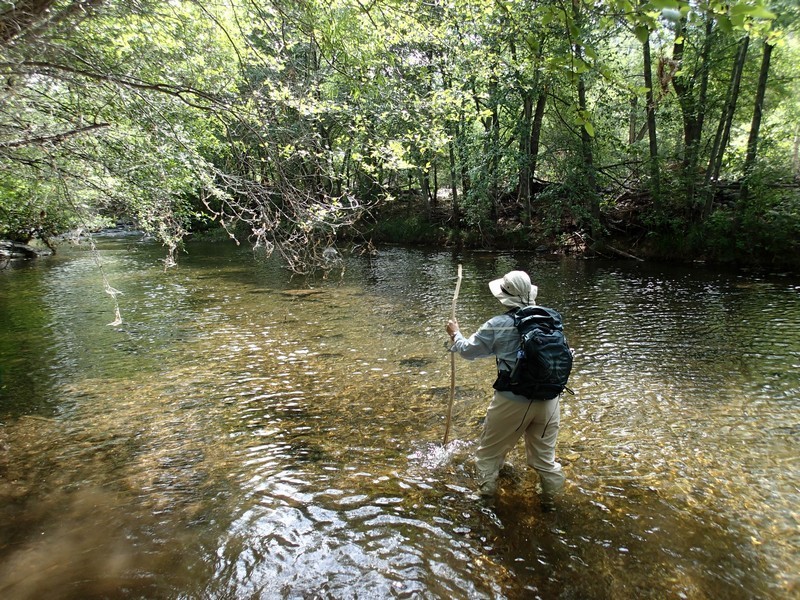
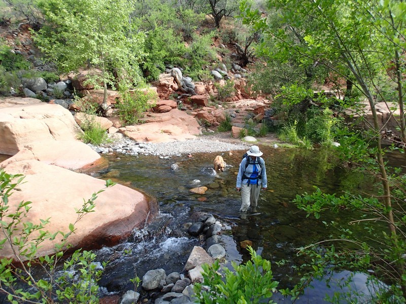
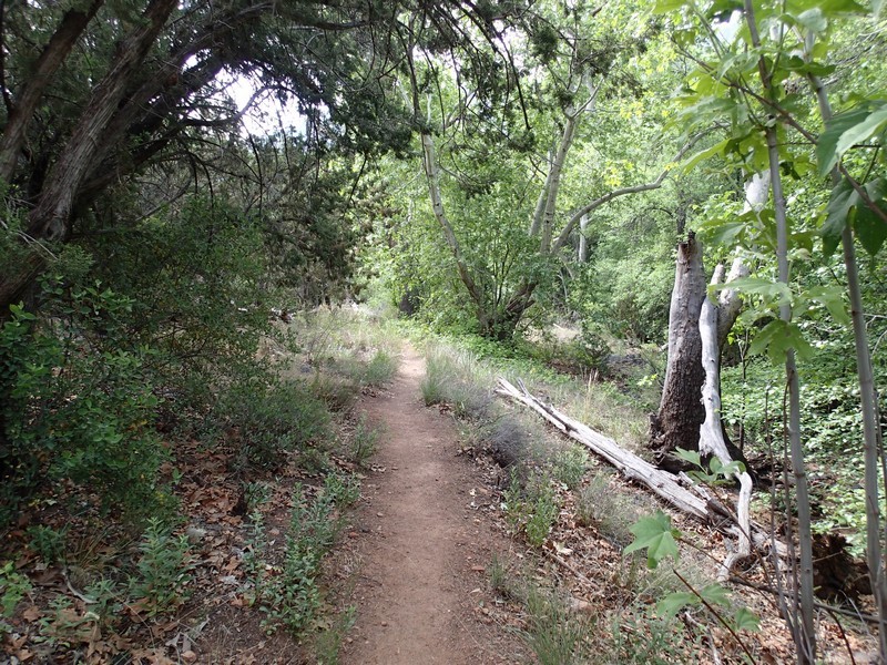
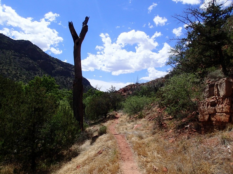
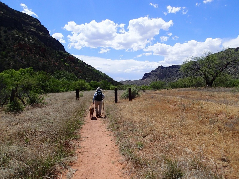
From the parking area, follow through the gate and walk along the closed road. Many people simply park at the trailhead and head directly for the creek, so there are several spur trails. Keep an eye out for cairns and signs to stay on the trail. Trail 17 follows along the creek, but not as close as many of us would like. Sometimes the trail is on a bench above the creek and sometimes the trail crosses the creek. The temperature near the creek is easily 15 degrees cooler than the surrounding desert. There are plenty of side trails that lead from Trail 17 to the creek side, in case you are looking for some private swimming opportunities.
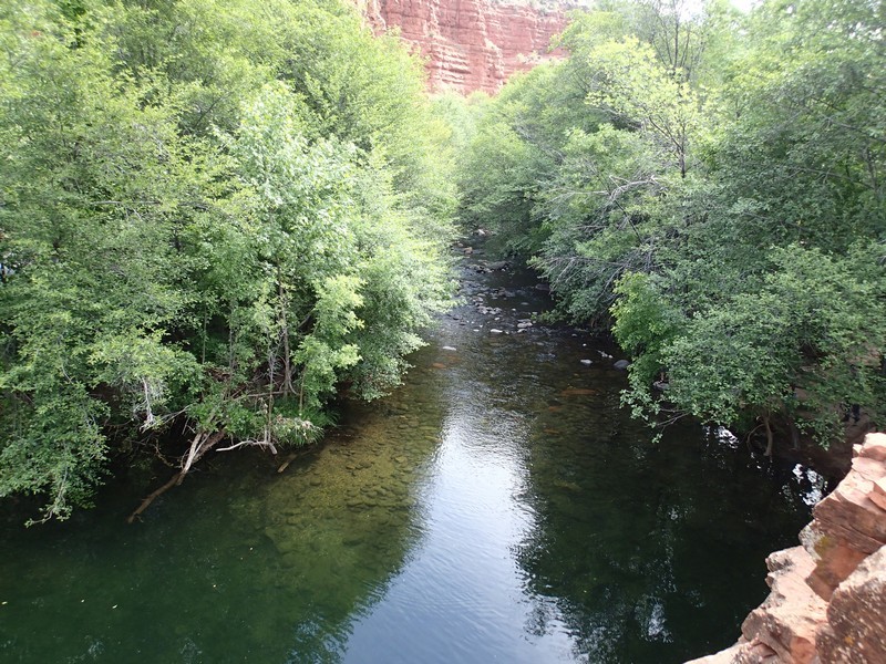
The area around the creek provides a very lush contrast to the surrounding desert scrub. Tall Sycamores, Cottonwoods, and other shade trees are abundant, and provide good shade. During high water, it might be difficult to cross the creek without getting wet. When we did this hike in early May, there were several creek crossings that would have been impossible to keep our feet dry. We wore water shoes and enjoyed the stroll through the water. You may want to bring a hiking stick for the creek crossings, as the rocks are slick.
The trail is difficult to follow in spots and we lost it once (Marked as 'Oops' on the map). Use those route finding abilities. The main creek crossings are marked with cairns.
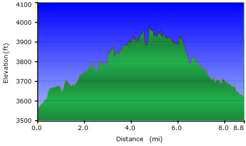
After five miles of hiking along the creek, trail 17 turns up the canyon wall and 2 miles later reaches FR214A (after a 1800 ft climb). Instead of proceeding up the steep climb, we stopped at the last creek crossing and enjoyed lunch by the water before backtracking to Bull Pen ranch.
Take your time in this area and be sure to bring a swimsuit. There aren't many hikes in Arizona that have a combination of great hiking along with a cool, refreshing dip.
