
- Hikes in Arizona
- Phoenix Area and Central Arizona
- Rock Knob Loop (Scottsdale Sonoran Preserve)
Rock Knob Loop (Scottsdale Sonoran Preserve)
Location
From the Phoenix area, take state HWY-101 North to the Pima Road exit. Drive north on Pima road and turn right onto Happy Valley road. Go east on Happy Valley road, which will turn North on it's own and become 118th street. Turn right onto signed Ranch Gate Road. Go 1.3 miles to 128th street and turn right. After 1 mile more of driving, you'll reach the signed trailhead. There are restrooms at the trailhead, but no water.
Hike details
Season
- January
- February
- March
- April
- October
- November
- December
Solitude
Difficulty
Permits
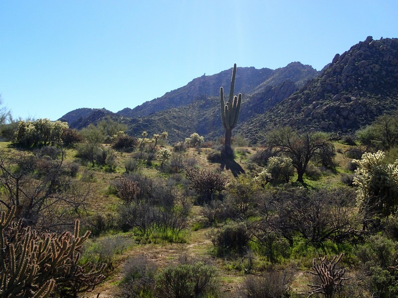
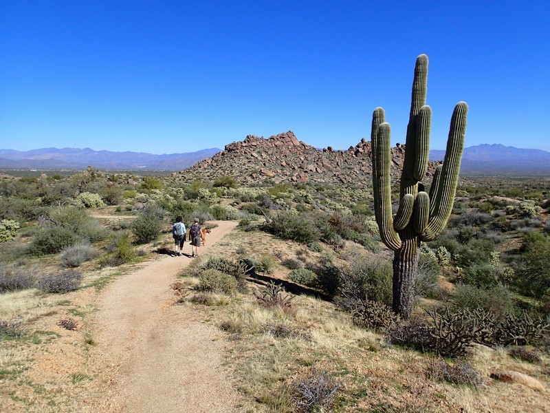
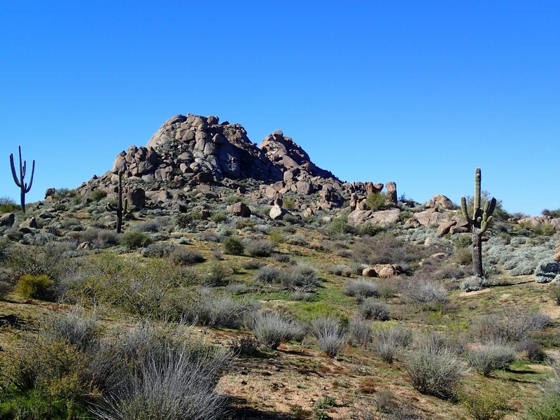
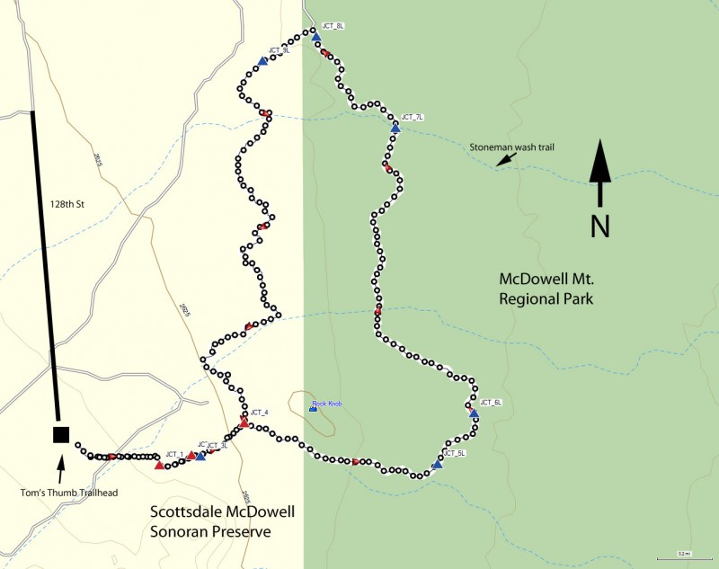
Loop hike around the Rock Knob in the Scottsdale Sonoran Preserve in Arizona.
The Scottsdale McDowell Mountain preserve has very quickly become a popular hiking destination. A nice, long loop hike through the Sonoran desert can be created by following a series of trails around a rock formation known as the Rock Knob.
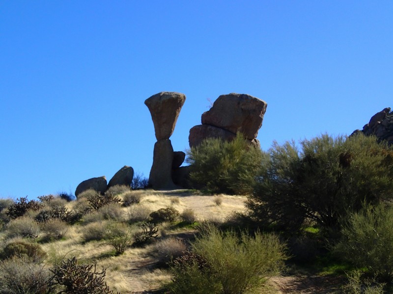
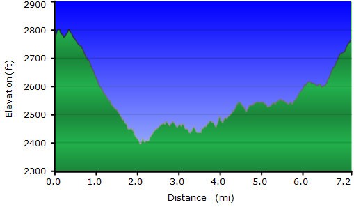
From the parking area, you'll be looking for the trail on the East side signed as the Marcus Landslide trail. The trail junctions in this area are signed and the trail is easy to follow. You'll see typical Sonoran desert cactii here (Saguaro, barrel, cholla). The trail heads directly East for the first 0.3 miles, going through a few trail junctions (JCT_1 and JCT_2 on the map). At these trail junctions, just keep following the Marcus Landslide trail to the Rock Knob trail. After 0.4 miles of hiking, you'll get on the Rock Knob trail (JCT_3L on the map). After making the left turn at this trail junction, you'll see the Rock Knob formation straight ahead of you. There are a few technical rock climbs on this formation, so you may see rock climbers practicing their craft here. You'll be looping around this formation during this hike. 0.2 miles from the previous trail junction, you'll reach the signed junction (JCT_4 on the map) with the Rock Knob trail and the Gooseneck Trail. You can take this loop in either direction so we arbitrarily chose counter clockwise. Stay right here and continue on the Rock Knob trail.
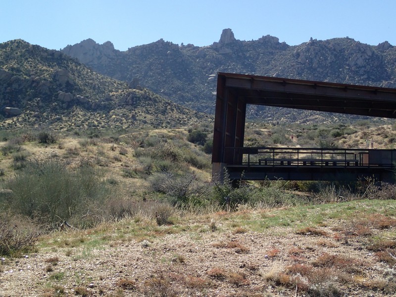
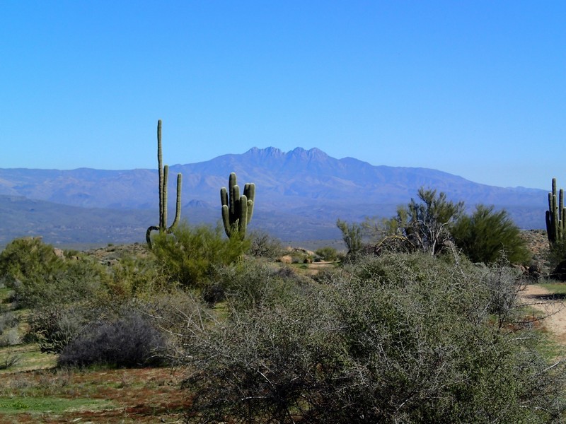
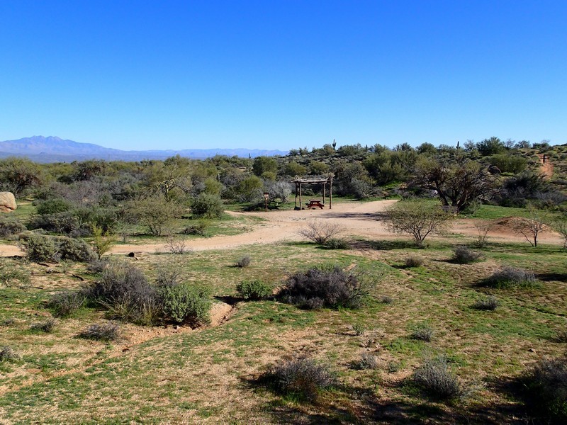
The trail continues another 0.3 miles to the boundary between the Scottsdale Sonoran Preserve and the McDowell Mountain Regional park (Maricopa County). Step through the break in the fence and continue along the Rock Knob trail. From the break in the fence, it's 0.6 miles to the next trail junction (JCT_5L on the map). Turn left at this signed trail junction as the trail heads North East. You're now on the Pemberton Trail, which is part of the Maricopa trail system. Mountain bikers like this trail, so keep your eye out for them here. 0.3 miles from the last trail junction, you'll reach the signed trail junction with the Bluff trail (JCT_6L). Stay left here to stay on the Pemberton trail. This stretch of trail is nice and quiet, with good views in the distance of the Four peaks (look East). Depending on the time of day, you may be able to see the huge fountain of Fountain hills going. From the last trail junction, it's 1.4 miles to the signed junction with the Stoneman wash trail. Stay left and stay on the Pemberton trail. It's another 0.6 miles of hiking on this trail to get to the border with the Scottsdale Sonoran Preserve. There are several trail junctions here (JCT_8L on the map) and a shaded picnic table. Look for the fence to the West. This break in the fence is the direction you want to go. Follow the signs to the trail heading south-west to the Gooseneck trail. 0.2 miles from the fence is another signed trail junction (JCT_9L on the map). Stay left here and hike on the Gooseneck trail. This wiggly trail heads generally South through a peaceful part of the preserve. To your right is private property, so please respect this and stay on the trail.
The Gooseneck trail continues to wind South for 2.3 miles to the trail junction with the Rock Knob trail (JCT_4 on the map). You've now completed the loop around the Rock Knob. Time to turn right (West) and follow the signs back towards Tom's Thumb trailhead. From this signed junction it's about 0.5 miles to the trailhead and the end of the hike.
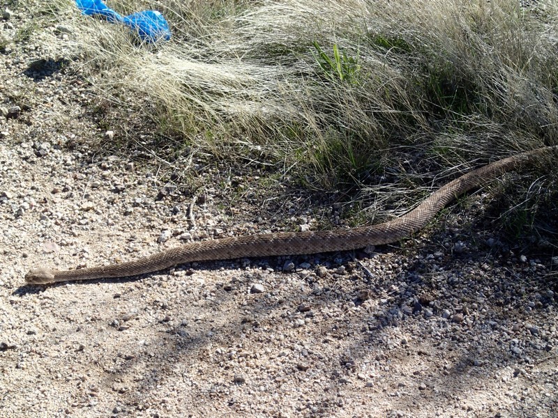
Keep an eye out for wildlife on this hike. Since it is a more quiet corner of the preserve, you have a better chance of seeing them. We saw a rattlesnake, plenty of jackrabbits, and a herd of mule deer.
