
- Hikes in Arizona
- Phoenix Area and Central Arizona
- WestWing Mountain
WestWing Mountain
Location
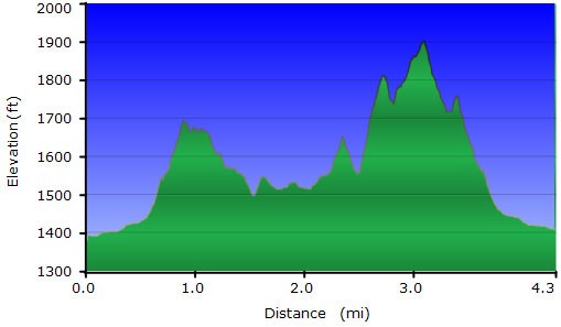
Hike details
Season
- January
- February
- November
- December
- June
- July
- August
Solitude
Difficulty
Permits
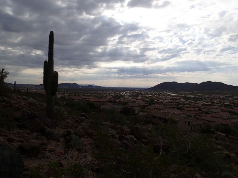
Hike on West Wing Mountain near Phoenix, Arizona.
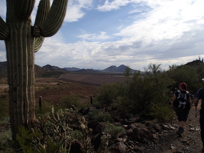
We had hiked the Sunrise Mountain trail and really enjoyed it. Then we realized there was another set of hiking trails to the North of this area and we set out to investigate. Turns out the trails to the north are collectively called West Wing Mountain and they were just as enjoyable.
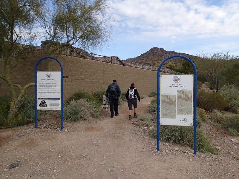
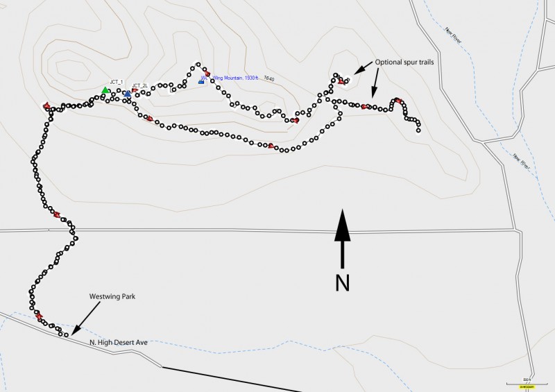
From the Westwing park, start walking along the dirt path that parallels Westwing parkway. At the four way stop sign intersection (Black Rock Blvd to the left and N. High Desert Drive). Turn right at this intersection and walk on the sidewalk along N. High Desert drive until you see the well signed trailhead start on your left. From here, the trail is dirt and heads through the neighborhood for a little while, soon enough reaching the base of Westwing mountain.
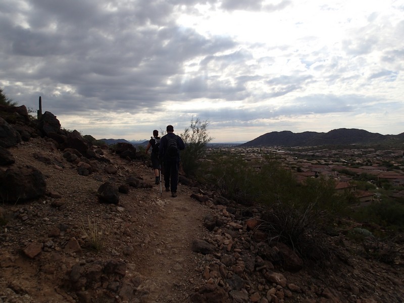
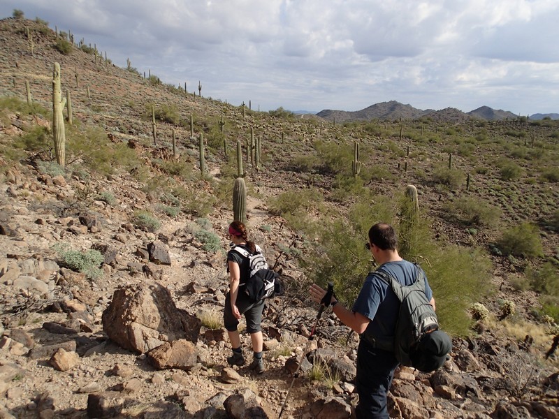
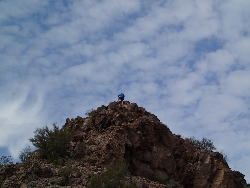
Navigation can be a bit confusing at times, but at each of the junctions, there is a small trail marker with a "you are here" arrow to keep you headed in the correct direction. There are a couple of loop possibilities. The one we did was longer, in an effort to make for a good workout. At the first main intersection (JCT_1 on the map) you can take the loop either left or right. We chose right, which creates a counter-clockwise loop. This section of trail travels along the base of Westwing mountain and you'll enjoy some good views of the Peoria area. After about 2 miles of hiking along this base, the trail turns North around the mountain. We took two spur trails (marked on the map) just to look around. One of these spur trails is an unsigned junction, so use those route finding skills here.
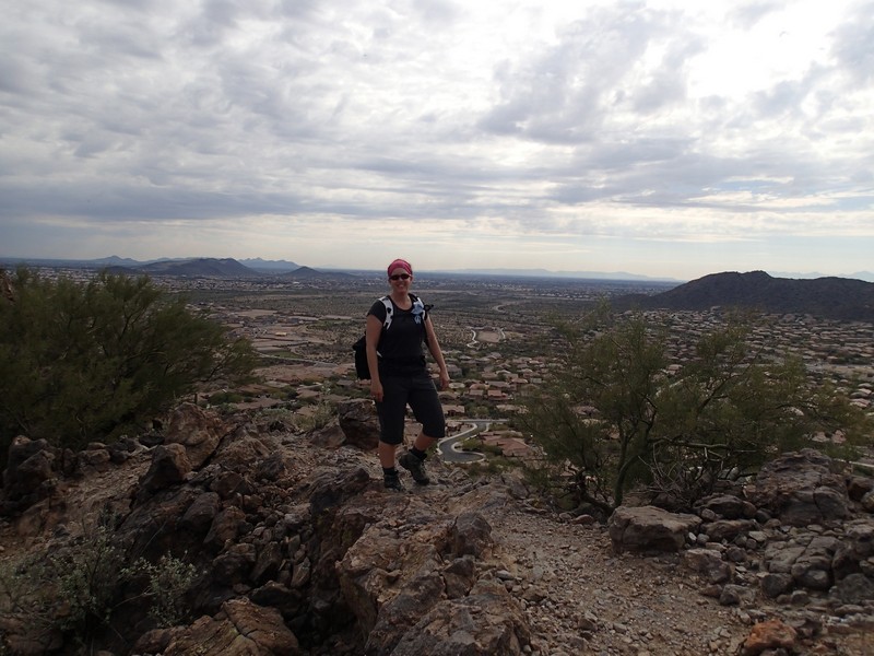
The return back is on the ridge line of the mountain range and goes over the top of Westwing mountain for some good views of the surrounding area. Again there are a few spur loop trails on this return path. Stay left at the first spur trail and right at the second (JCT 2L on the map) to stay on the main path. You'll return to the original trail junction (JCT_1 on the map). From here, follow the arrows to get back to the parking area. There is additional information and maps on this trail area at the Peoria website: Link here.
Even though the surrounding views are a mixture of mountains and fancy houses, it's still an enjoyable view and worth the effort.
It may be tempting to shorten this hike by parking in the neighborhood. Please don't do this, as it interferes with the homeowners.
