
- Hikes in Arizona
- Phoenix Area and Central Arizona
- Ford Canyon loop (White Tanks)
Ford Canyon loop (White Tanks)

Location
To get to the trailhead: From the Phoenix area, take I-10 West to HWY-303. Take HWY-303 North (Right) to Olive Road. Turn left on Olive Road (West) and go five miles to the White Tank Mountain Regional Park. From the park entrance, follow Mountain Road North to the Waterfall Canyon Rd. Make a left here and drive along Waterfall Canyon road for 1.1 miles to the parking on both sides of the road. The trailhead is signed as the Waddell trail. There is a water spigot here, but no restrooms.
Hike details
Season
- January
- February
- March
- October
- November
- December
- June
- July
Solitude
Difficulty
Permits
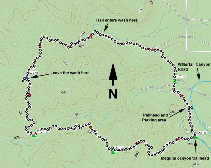
Loop hike through Ford Canyon in the White Tanks regional park in Arizona.
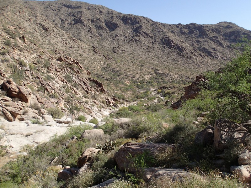
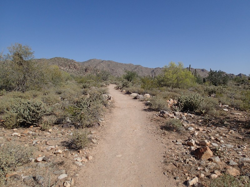
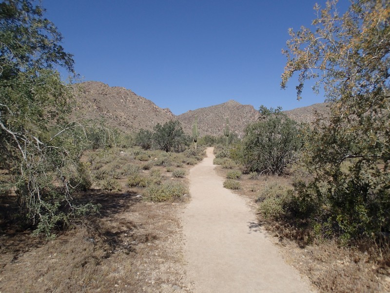
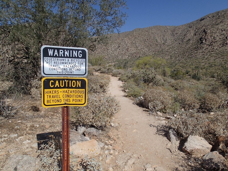
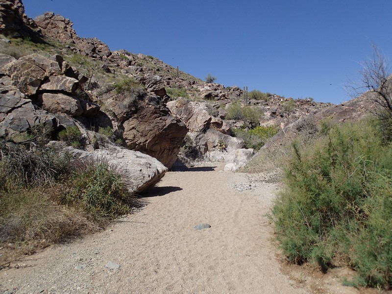
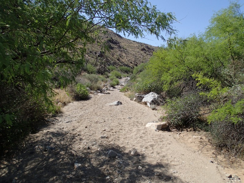
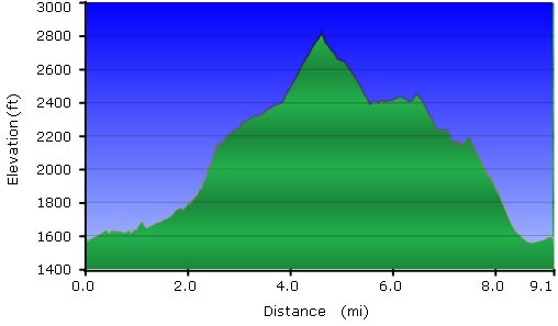
From the parking area, follow the well maintained and well signed Waddell Trail north (right) into the desert. You'll be hiking through sonoran desert on this trail, with Saguaro, barrel, and cholla cactus to keep you company. About 0.5 miles of hiking along this flat trail gets you to the signed junction with the Ford Canyon trail (JCT_1L on the map). Turn left here. For the next 1.4 miles, you'll be slowly gaining elevation as you walk along the side of Ford Canyon. After you reach an imposing sign talking about the difficulty of the trail ahead, it really gets fun. The trail becomes rocky and gains elevation much more quickly. Soon enough you'll be walking in a desert wash. This section is slow walking, but it's easily the most interesting. Expect some scrambling, boulder hopping, and walking through sandy washes. There is some route finding here as well, but the park has done an admirable job with brown trail signs to keep you in the wash until it's time to leave.
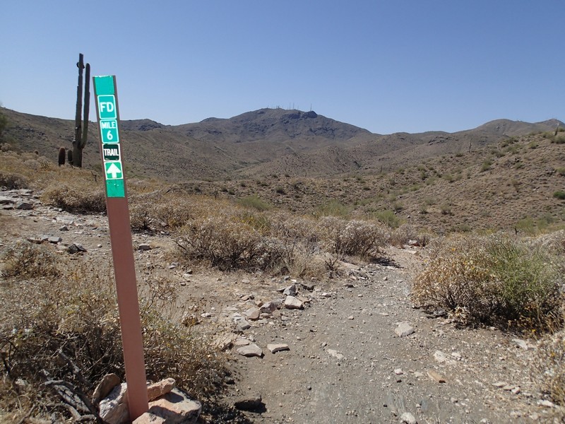
After about 1.8 miles of this, you'll reach a series of confusing (and conflicting) hiking signs (LV CYN on the map). When you encounter this group of signs, leave the desert wash on the well traveled trail on your left. From here, the trail gets much easier to walk while it continues to gain elevation. It's very hard to remember that a sprawling metropolis is so nearby, as you are surrounded by the desert wilderness here. The maximum elevation of the hike peaks out near the six mile trail marker.
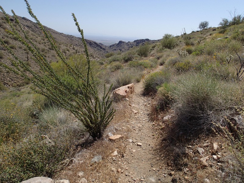
When you reach the signed trail junction with the Willow Canyon trail (JCT_2L on the map), turn left and start descending down the Willow Canyon trail. After about 1.3 miles of hiking from the previous trail junction, you'll arrive at evidence of a ranch, with a dry tank. There is an unsigned spur trail here that will take you (after a few hundred feet of walking) to Willow Springs.
Willow springs is one of those very unique features in an otherwise bone dry desert. Green vegetation is evident in abundance and the source is a year round spring. We took this hike during a prolonged dry spell (3 months) and the spring was still running. After enjoying the view of the spring, continue down Willow Canyon trail back to the junction with the Mesquite Canyon trail (JCT_3L on the map). This junction occurs about another 0.4 miles from the spring and about 1.7 miles from the Ford Canyon trail junction.
From here, turn left and make the quick 1.7 miles decent back to the Mesquite trailhead area and the signed junction with the Waddell trail (JCT_4L on the map). Turn left and walk the final 0.4 miles along the Waddell trail to get back to your car.
