
- Hikes in Arizona
- Grand Canyon / Marble Canyon
- Uncle Jim Trail
Uncle Jim Trail
Location
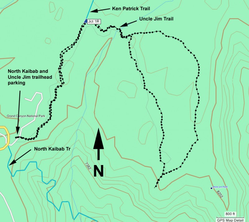
From Jacob Lake, take HWY 67 south towards the Grand Canyon. Once you enter the park, you'll head 11 miles south of the park entrance (about 2 miles north of the lodge) to the signed North Kaibab trail parking area. This parking area is for the Uncle Jim, Ken Patrick, and North Kaibab trailheads, so it can be quite busy. There is a restroom, but no water.
Hike details
Season
- June
- July
- August
- January
- February
- December
Solitude
Difficulty
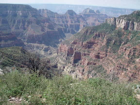
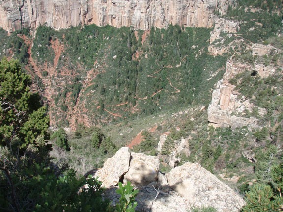
30 yr old Recommendation: This a nice Easy hike to some great views of the North rim of the Grand Canyon and is worth doing.
Permits
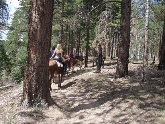
Hike the Uncle Jim trail on the North Rim of Grand Canyon National park, Arizona.
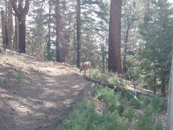
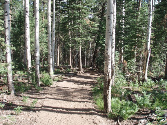
From the parking area, follow the well signed trail for the Ken Patrick and Uncle Jim trails (they share the same trailhead). The trail is easy to follow as it heads through a Ponderosa Pine and Aspen forest. About 0.8 miles you'll see a signed junction, where the Ken Patrick trail heads left and the Uncle Jim trail heads right. Turn right at this junction (labeled JCT 1R on the map) and continue to another, unsigned trail junction. This hike loops back to this point, so it really doesn't mater which way you go. We went right (counter-clockwise loop). Soon you'll reach views of the North Rim of the Grand Canyon, featuring great views of Bright Angel canyon. The trail continues to another view and then back to the trailhead.
It is very likely you'll be sharing this trail with mules and their riders. If you see mules approaching, stand off to the side of the trail to let them pass.
