
- Hikes in Arizona
- White Mountains and Eastern Arizona
- Blue Ridge Trail #107A
Blue Ridge Trail #107A
Location
To the Trailhead: From the Pinetop-Lakeside area, head on HWY-260 towards Hon Dah. Turn left on signed Bucksprings Road. After 0.5 miles, turn left on FR182 (Sky Hi Road). Go 1.8 miles and turn left on unsigned FR187. The signed trailhead is a few hundred yards up FR187. If you want to start at the alternate trailhead, continue on FR187 until you see the signed trailhead. All the dirt roads heading to this hike are well graded.
Hike details
Season
- June
- July
- August
- January
- February
- December
Solitude
Difficulty
Permits
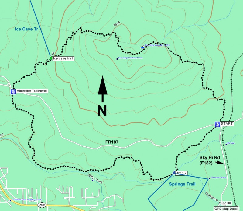
Hike the Blue Ridge trail in Eastern Arizona.
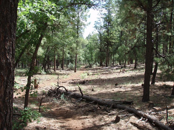
Since this is a loop hike, you can start walking in one of two directions. For this hike, we walked counter-clockwise. The write-up reflects this. The trail can be faint in places and also crosses some game trails. To help stay on the trail, look for the blue diamonds marked periodically on the pine trees to help stay on the trail.
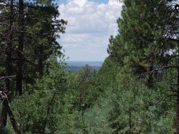
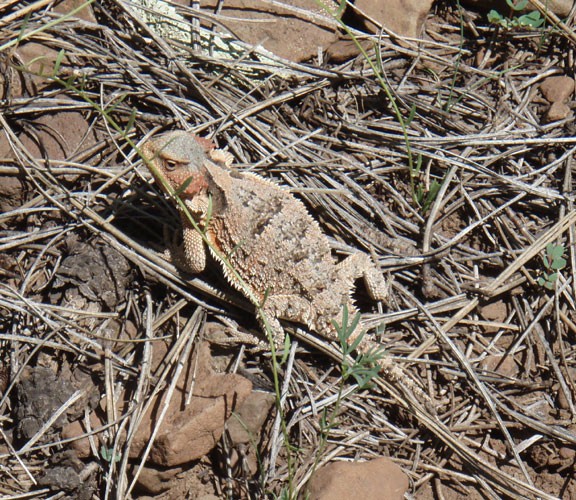
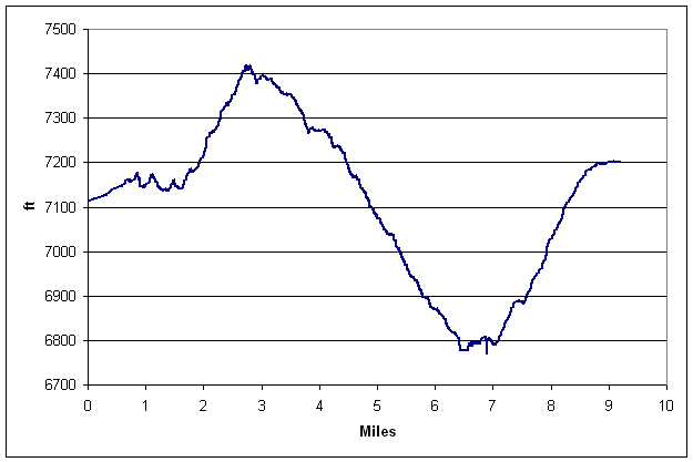
From the signed trailhead, start heading towards Blue ridge mountain. There's a good climb here to start, but it's a pretty gradual climb shaded by an abundance of pine trees. There would be good views from the top of the Blue ridge mountain, except the forest is dense enough that there are only hints of the scenery beyond. We surprised a group of three Elk here, so keep your eyes open.
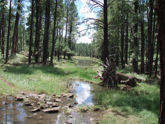
The trail then heads west and drops down, eventually reaching a junction with the Ice Cave Trail (See map). Stay left at this signed junction. The next waypoint is the alternate trailhead, which also intersects FR187, just at a different point. From here, the trail heads South towards Thompson creek. Once you reach the creek (seen in a shallow canyon), the trail turns East and follows this creek until you reach a junction with the Springs Trail (Jct 1R on the map). Stay left to stay on the Blue Ridge trail as it gains some elevation back, ending at the parking area.
