
- Hikes in Arizona
- White Mountains and Eastern Arizona
- Ice Cave (Blue Ridge Cave)
Ice Cave (Blue Ridge Cave)
Location
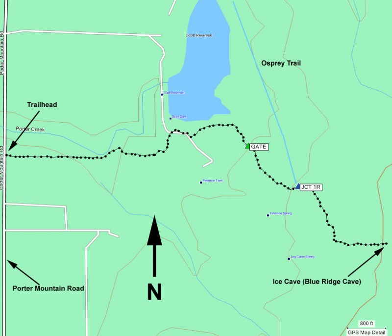
To the Trailhead: From the Pinetop-Lakeside area, head on HWY-260 south towards the Lakeside Ranger station. Just past the ranger station, turn left on signed Porter Mountain Road (FR45). Take this road for 1 mile and look for the signed trailhead on the right (across from the humane society).
Hike details
Season
- June
- July
- August
- January
- February
- December
Solitude
Difficulty
Permits
Hike to the Ice cave (also known as the Blue Ridge Cave) in Eastern Arizona.
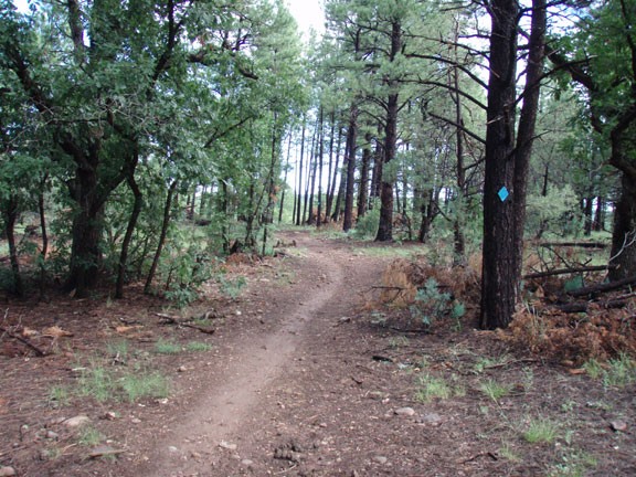
From the signed trailhead, follow the signs for the 'Blue Ridge Cave', more popularly known in the area as the Ice Cave. The trail is easy to follow for the most part, however, there are some game trails that intersect your trail. To stay on the correct trail, look for the periodic blue diamonds on pine trees along the trail. You'll be sharing this trail with mountain bikers and horseback riders, so yield when appropriate.
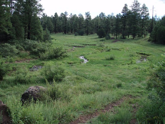
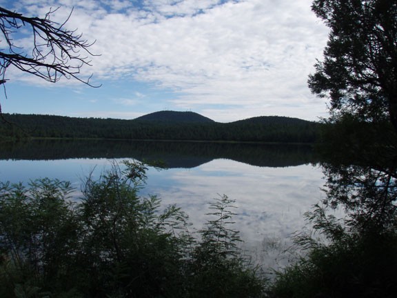
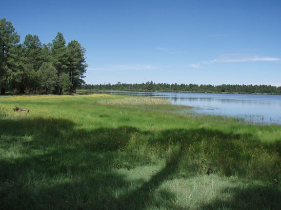
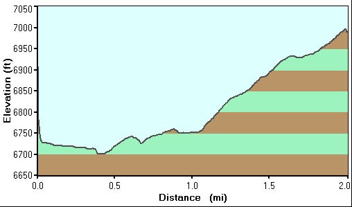
The trail heads through the pine forest and follows the South bank of the Scott Reservoir for a while. We spotted a Heron here looking for his morning breakfast, along with some other local fishermen. The trail doesn't stay along the water for long and after 1.4 miles of hiking, you will reach the signed trail junction with the Osprey trail. Stay right here to continue to the Ice Cave, which you will reach after 2.0 miles of hiking.
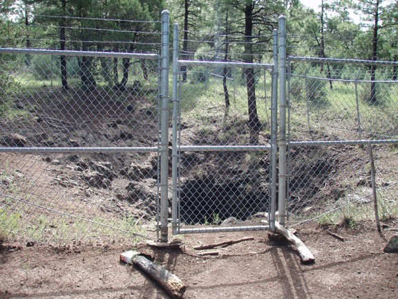
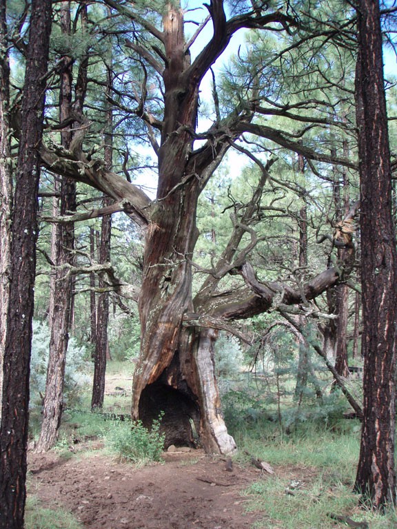
The Ice cave is not signed and it is about 100 yards off of the trail to your left, so keep an eye out for an obvious fence in the forest. If you are not looking for it, it would be easy to walk right by. There are two unsigned side trails on your left that can get you to the fence, which circles the cave but is unlocked. It looks like the cave could be explored, but it was a muddy day when we did this hike and crawling around in the muddy cave didn't sound like much fun. The air blowing from the cave was certainly cooler than the surrounding air, so the cave is well named.
The Ice cave trail continues, eventually terminating at the Blue Ridge Trail after 3.2 miles of total hiking. For this hike, we turned around at the Ice cave.
