
- Hikes in Arizona
- White Mountains and Eastern Arizona
- Indian Springs
Indian Springs
Location
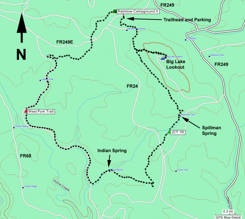
To the Trailhead: From the Show Low area, go East on HWY260. Turn right onto the well graded dirt road HWY-273 and drive for about 20 miles (passing Big Lake on your right along the way) to the intersection with FR249E. Turn right onto FR249E (this dirt road is also in good shape) and drive about 0.5 miles to the signed trailhead and parking area on your left.
Hike details
Season
- June
- July
- August
- January
- February
- December
Solitude
Difficulty
Permits
Hike the Indian springs loop hike in the White Mountains of Arizona.
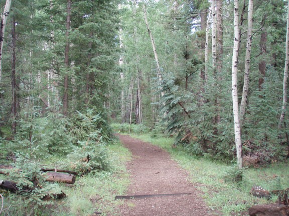
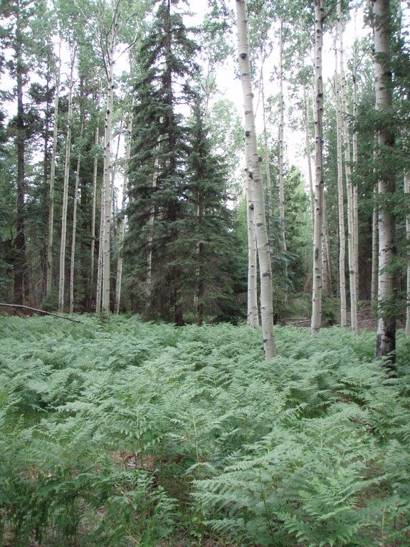
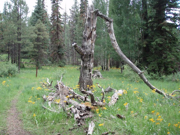
This hike is a lovely stroll in a pine and aspen forest. The junctions are all signed and the trail is easy to follow. This is a good hike for those looking for a longer hike without significant elevation change or route finding. You can take this loop hike in two directions. I took it clockwise, so the write-up will reflect this. The only thing to watch out for are the mountain bikers, who find this loop popular.
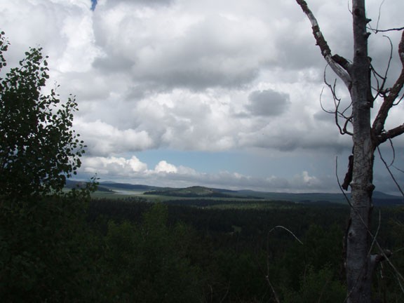
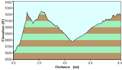
From the signed parking area, head South into the woods (away from FR249E). Most of the hike will have a similar view of forest, with a meadow once in a while. After about 0.5 miles of hiking, take a left at the signed junction for the Big Lake Lookout. This lookout is worth the short detour with a few hundred feet climb. Whether or not the lookout is open to the public, the views from up here are a joy.
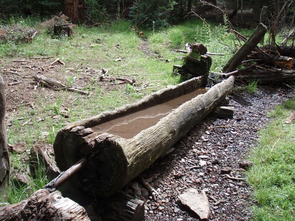
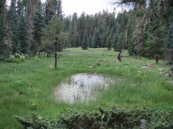
Backtrack to the trail and continue. Another half mile of hiking from the trail junction puts you at Spillman Spring. This charming spring features pipes emptying into hollowed out tree troughs. After Spillman Spring is a trail junction that is marked, but not clearly. Stay right (shown as Jct 1R on the map). Soon the trail crosses FR24 on the way to Indian spring. Indian spring is really a small pond, so you might walk right by it without noticing. After Indian spring, the trail levels out and follows an old railroad path that served the logging industry of the area. The railroad tracks are long since gone, but the path is left for the hiker (and mountain biker) to enjoy.
Stay right at the signed junction with the West fork trail, continuing along the old railway path. You'll cross FR249E twice, as well as pass a trail junction for the Rainbow Campground, before reaching the start of the hike and your car.
