
- Hikes in Arizona
- Phoenix Area and Central Arizona
- Quartz Trail
Quartz Trail

Location
From the Phoenix area, take state HWY-101 North to the Frank Lloyd Wright exit. Turn right onto Frank Lloyd Wright and then take a left onto Thompson Peak Parkway. From there, make a right onto McDowell Mt. Ranch Road. When you reach 104th street, turn right. The trailhead parking area is on your right, although the trailhead is across the street on your left. If you enter the neighborhood, you've gone too far on 104th street.
Hike details
Season
- January
- February
- March
- April
- October
- November
- December
Solitude
Difficulty
Permits
Hike the Quartz trail near Scottsdale, Arizona.
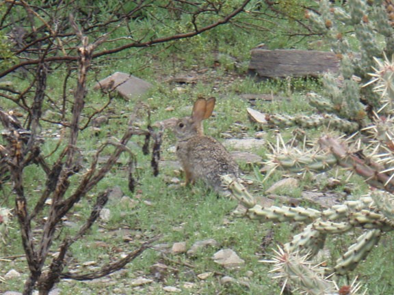
Not to be confused with Quartz Peak, which is also a great hike in the Phoenix area, the Quartz Trail is in the McDowell Sonoran Preserve East of Scottsdale. The Quartz trail hike features a neat formation of Quartz, but there is more to this hike than that.
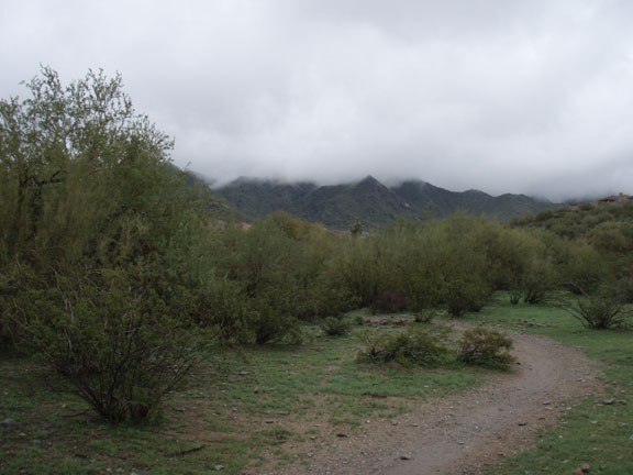
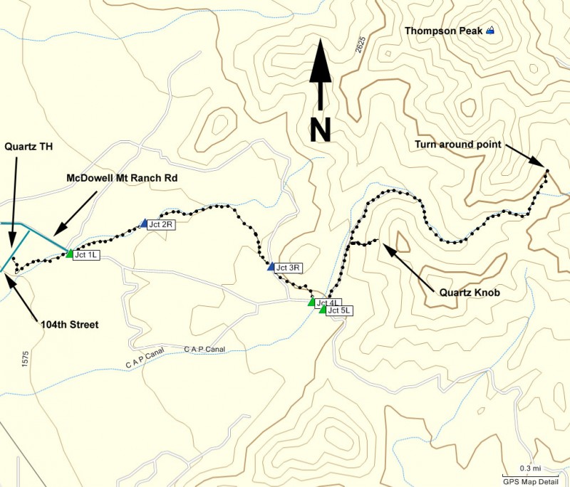
From the parking area, cross 104th street to the trailhead on the other side. After dropping into the desert wash, make a left along the signed Quartz trail. The trail is well worn and easy to follow. Unfortunately, for the first 2 miles you're surrounded by houses. Luckily they tend to stay in the background and don't interfere too much with your hiking enjoyment. The trail follows a wash and there are several trails intersecting the Quartz trail. The nice thing is that all the intersections are signed. At Jct 1L (on the map) stay left. The next trail junction is with the Paradise Trail (Jct 2R on the map). Stay right to stay on the Quartz trail.
After about 2 miles of hiking, you'll start to emerge from the houses and enter the desert of the preserve. Stay right at the next intersection (Jct 3R on the map). The gain in elevation exposes some good views of the Scottsdale area to enjoy. Soon you'll reach a couple of trail junctions, one is with the Taliesin Trail, heading off to your right (Jct 4L on the map). Stay left here, then stay left at the next trail junction with the Lost Dog trail (Jct 5L on the map).
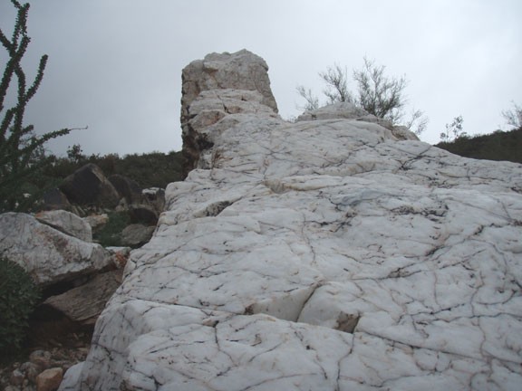
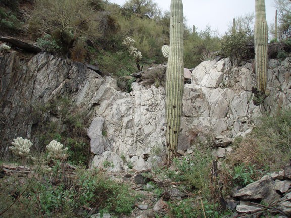
From this section, you'll likely see the white rock against the right side of the canyon. There's a spur trail on your right about 0.3 miles from the last trail junction. It's worth the slight detour to see the unique wall of Quartz. It's a bit of a climb too, so that helps get the heart rate up.
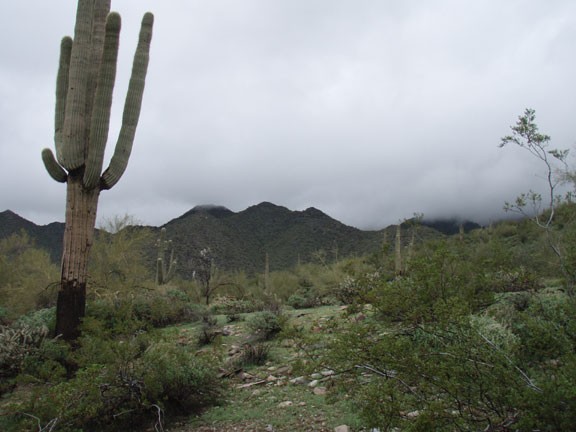
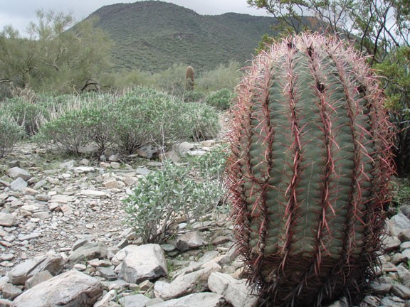
Back on the main Quartz trail, continue deeper into the desert preserve. The trail follows a wash for the remainder of the hike as you feel more and more isolated from civilization. The desert soon envelops you and it is a welcome experience. The further you get into the desert, the more faint the trail becomes. Route finding is not difficult, as you simply stay in the wash. Under normal circumstances, you could probably look up to see Thompson Peak to your left. On the day of our hike, it was overcast with low clouds, so Thompson Peak stayed hidden.
After about 4.6 miles of total hiking the trail will peter out at a 10 ft rock wall. This serves as a good turn around point.
