
- Hikes in Arizona
- Grand Canyon / Marble Canyon
- Spencer Trail
Spencer Trail
Location
To get to the Trailhead: From the Flagstaff area, take HWY-89 North East towards Page. Turn North West on HWY-89A North West across Navajo Bridge Just after crossing Navajo bridge, turn right at the sign for Lee's Ferry. Drive this road following the signs for the boat beach for about 6 miles. Drive past the long term parking and the boat beach for the day parking. There is water here and restrooms.
Hike details
Season
- April
- May
- September
- October
- June
- July
- August
Solitude
Difficulty
Permits
Hike up the Spencer trail near Lees Ferry, Arizona.
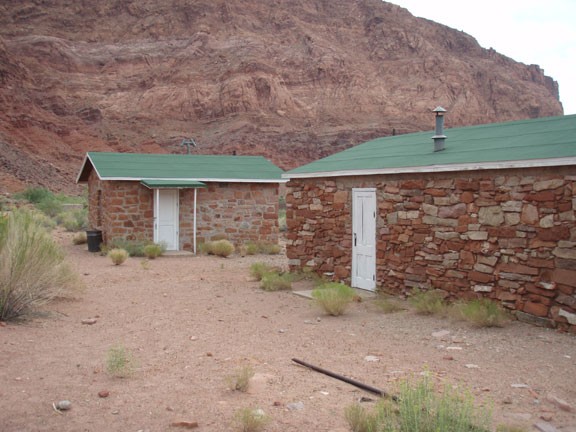
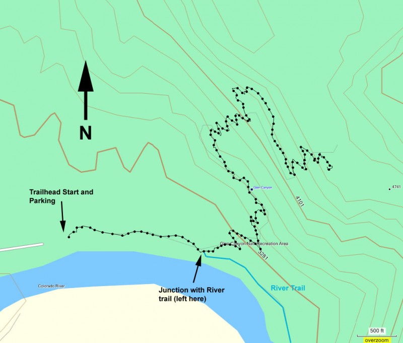
To reach the parking area, go past the long term parking area towards the boat beach. Continue past the boat beach to a day parking lot. The signed trailhead is East of the parking lot, towards the historic old Lee’s Ferry stone buildings.
These buildings are worth taking a look at. They date back to the early 1900’s and supported attempts of mining this area, as well as serving the ferry customers. Due to the geography of the Colorado River, Lee’s Ferry was the only reasonable place to cross for hundreds of miles. Lee’s Ferry is still a busy place, with hundreds of people boarding boats intent on enjoying the river. However, once you get on the trail, you’ll leave all these people behind.
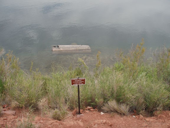
You’ll start out on the River Trail as it follows upstream of the Colorado River. After the buildings, there is an old boiler and even an old riverboat to look at before reaching the signed junction with the Spencer trail (shown on the map, turn left). Pay close attention here to make sure you’re on the correct trail. Look for cairns, as there are two trails that look like they could be the correct trail. If the trail you are on starts to follow the river upstream, it’s not the correct trail. The Spencer trail heads towards the canyon wall from this junction.
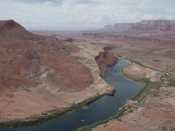
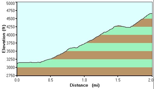
After this section, the trail is pretty straight forward to follow. In a few sections, the trail has some exposure, but it’s a slope, not a drop off. The key description of the trail is ‘steep’. The nice thing about such a steep trail is that you get increasingly impressive views of the boat beach and the Colorado River. Of course, the best views are at the top, where not only do you see the windy downstream canyon, but you look upstream, you can see the city of Page as well as more of the Colorado River canyon.
There are a few nice places to sit and enjoy the views while resting for the return. There are even a few places to explore for various views. When ready, return the way you came.
