
- Hikes in Arizona
- Phoenix Area and Central Arizona
- Freedom Trail (Piestewa Peak)
Freedom Trail (Piestewa Peak)
Location
In the Phoenix area, take state HWY-51 North to the Glendale Avenue exit. Turn right after taking the exit to get on Lincoln Dr. After about 0.5 miles, turn left on Piestewa Peak Drive. Follow this road through the residential area to Piestewa Peak Park, parking at the Apache Picnic area (end of the road). Water and restrooms are at the trailhead.
Hike details
Season
- January
- February
- March
- April
- October
- November
- December
Solitude
Difficulty
Permits
hiking around one of the more famous landmarks (Piestewa Peak) in the Phoenix Arizona area
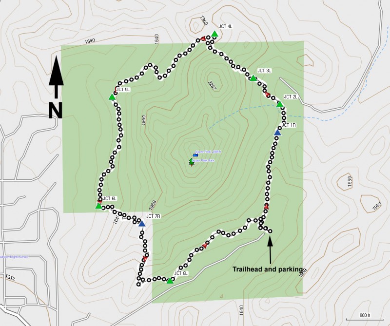
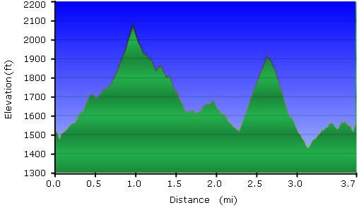
Start this trail from the Apache picnic area (just follow the road into the park all the way to it's end) and look for the well signed Trail 302 sign, also known as the Freedom Trail. This 3.7 mile loop hike shows off some of the great views that can be enjoyed by hiking in the Phoenix Mountains Park with less of the crowds typically seen on the Summit Trail.
The loop described here is a counter-clockwise loop, so at the first trail junction, make a right turn. There are several trails overlapping the Freedom Trail, but each of the trail junctions on this hike are marked. Better still, since this is a loop hike, all you have to do is turn left at each junction, keeping Piestewa Peak on your left, and you won't get lost.
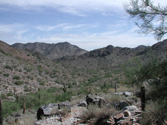
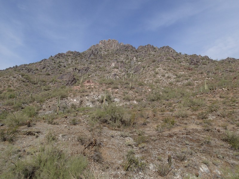
This trail winds through a typical low desert, with rocky terrain and a wide variety of cacti (Saguaro, Barrel, Cholla to name a few). The trail climbs gradually to a saddle which provides good views of the Phoenix Mountain Park in several directions. From this point, you can almost forget there's a huge metropolis in the area.
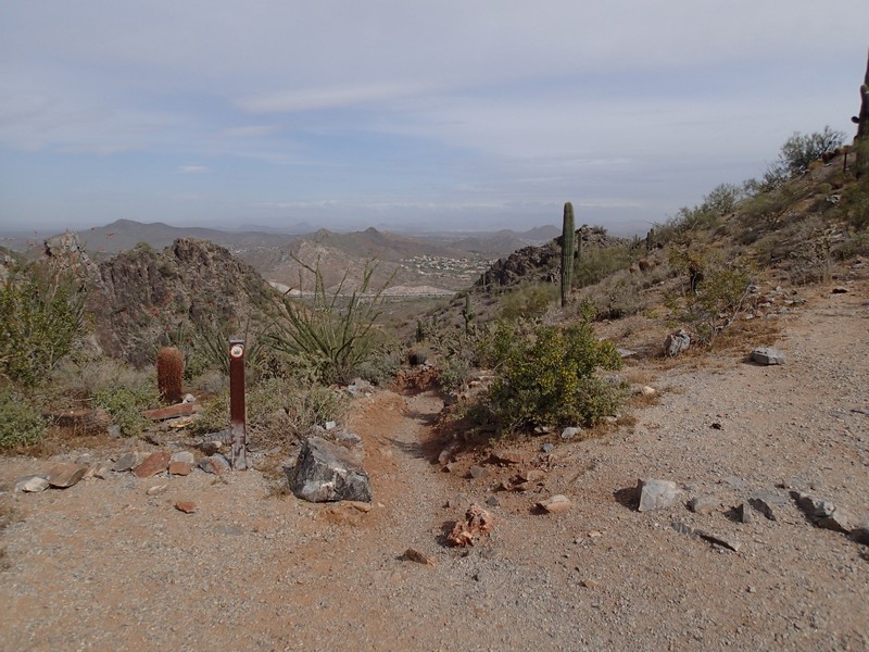
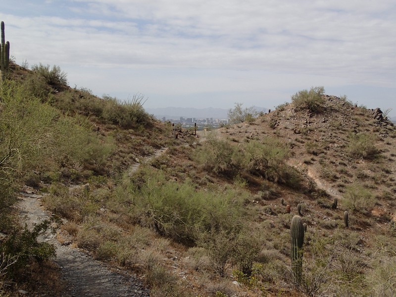
After reaching the saddle the trail descends while hugging the north face of Piestewa Peak. The descent is not quite steady and there are a bit of up and downs before reaching another saddle. This saddle overlooks the Phoenix area... the better to enjoy the views of the fancy houses. The trail descends again, then climbs up some switchbacks to yet another saddle, this one overlooking the parking area. This section of the trail is shared with the Summit trail, so expect to share it with lots of people. Eventually, you work your way down this trail, making a left turn at the bottom to get back to your vehicle.
Enjoy!
