
- Hikes in Arizona
- Phoenix Area and Central Arizona
- Vulture Peak
Vulture Peak
Location
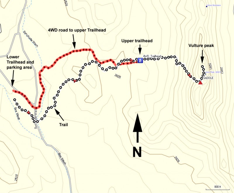
From Phoenix, take US-60 North West towards Wickenburg. Stay on US-60 as you go through Wickenburg. While in Wickenburg (after the junction of US-93), turn left on Vulture Mine Road. Take this paved road 6.7 miles to the turn off for the Vulture Peak trail (well signed). Turn left and drive 0.4 miles on this gentle dirt road to the parking area. Four wheel drive vehicles can continue an additional 1.4 miles to a higher trailhead, but the walk is nice from this point too.
Hike details
Season
- January
- February
- March
- October
- November
- December
Solitude
Difficulty
Permits
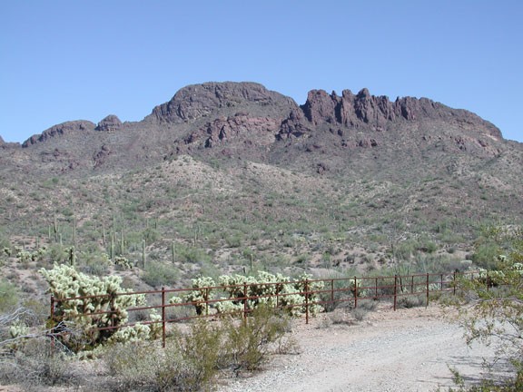
Hike to Vulture peak near Wickenburg, Arizona
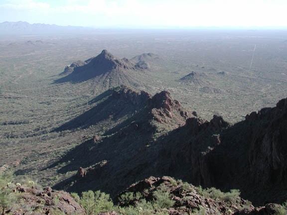
Vulture peak is the obvious peak overlooking the town of Wickenburg, Arizona. When viewing the peak from US-60, you would never imagine that there is a route to the top. Once you get around to the other side, however, you will see a way to the top of this local landmark.
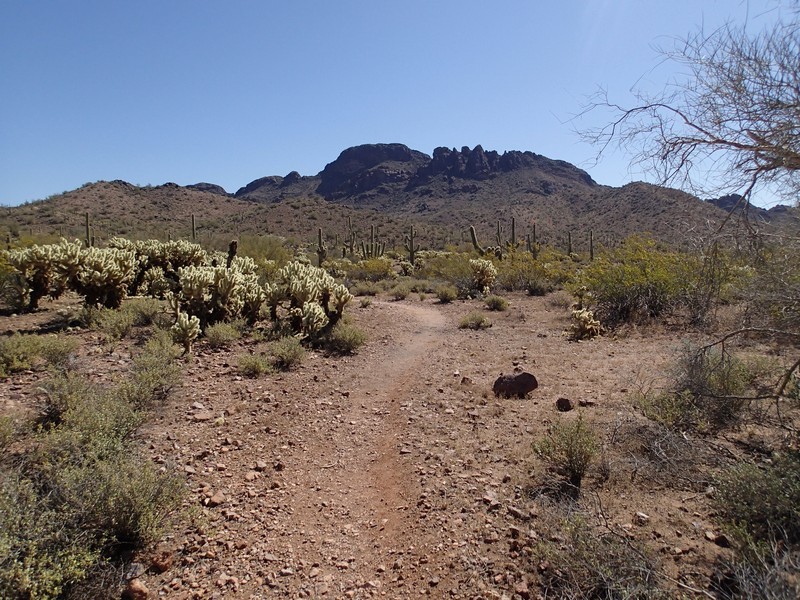
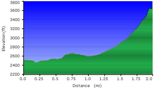
The trail starts from the well maintained parking area (shown as the Lower Trailhead on the map). Winding towards the peak, the trail spends some time in a desert wash, as well as crossing the 4 wheel drive road, before reaching the base of the peak. The trail is well marked, so if you are worried about losing the trail, look carefully for a trail marker... they are out there. This part of the trail winds through plenty of Saguaro and Cholla cactus. This is prime rattlesnake country, so keep a sharp eye out.
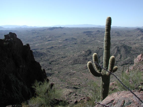
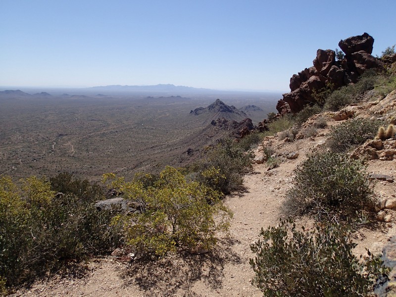
After about 1.5 miles, you reach the base of the peak and begin climbing quickly. The trail switchbacks up the side of the peak. As you hike, be sure to take in the increasingly good views of the surrounding desert. Pretty quickly, you reach an obvious saddle featuring good views (Marked as SADDLE on the map).
For the best views, you need to take the scramble route (not maintained, but pretty obvious) to the top. It isn't easy, but the reward is worth it. 360 views of the surrounding desert and Wickenburg are yours. This would be a good place to sit back for a while and enjoy the rewards of your hard work.
When ready, return the way you came.
