
- Hikes in Arizona
- Mogollon Rim
- Oak Trail #16 and Walnut Trail #251
Oak Trail #16 and Walnut Trail #251
Location
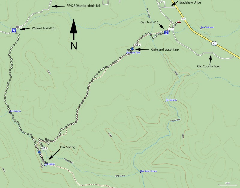
To the Walnut Trail #251 Trailhead: From the Phoenix area, take HWY-87 through Payson to Pine. In Pine, turn left on FR 428, which is signed as 'Hardscrabble Road'. Drive 1.7 miles to the trailhead sign. There is limited parking here (two cars). The last 0.7 miles is well graded dirt road.
To the Oak Trail #16 Trailhead: Instead of going into the town of Pine, look for the Pine Traihead sign just south of town. Pull off to the left and look for a road that goes west. This road is not signed so it could be tricky to find. After about 0.2 miles of driving, there is a barbed wire fence across a wash with a gate across it. Park here and go through the gate (or through a hole in the barbed wire fence) Look for a large green gate in the barbed wire that signals the start of the Oak trail. Alternatively, the Oak trailhead can be accessed from Old Country Road, but this dirt road is in bad shape near the trailhead. You can drive as far as you can go and hike the short distance to the green gate.
Hike details
Season
- June
- July
- August
- January
- February
- December
Solitude
Difficulty
Permits
Loop hike using the Oak trail and Walnut trail near Pine, Arizona.
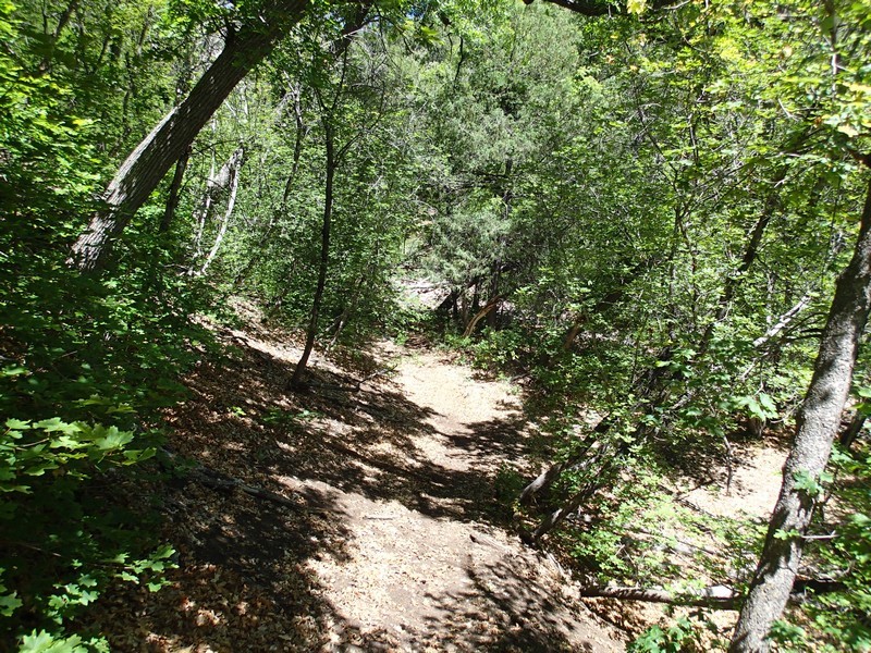
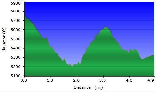
From the Walnut Trail trailhead, the well traveled and easy to follow trail generally descends for the entire 2.0 miles down to Oak Springs. This section of the trail is more shaded and has more pine and oak trees. The footing is a little rocky throughout. Sometimes you have to walk through a dry wash and the trail crosses this wash a few times. It would probably be even more picturesque if there had been a recent rain and this wash was a running creek.
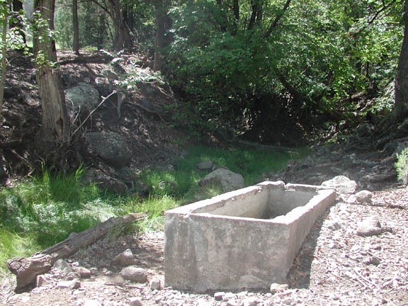
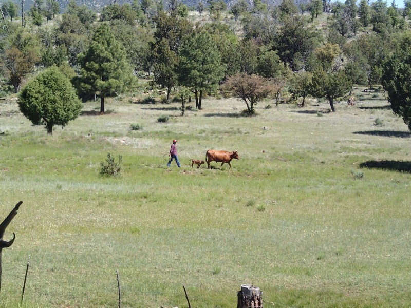
After about 2.0 miles, you will reach the junction of the Oak Trail (JCT_1 on the map). At this well signed junction, turn right to go the additional 200 yards or so to the sign marking the Oak Spring. After the sign, it is another 200 ft down to the spring in the canyon. The spring is not hard to find, as there is a cement trough marking it and the water around is unmistakable. There are several large oak trees shading this area. There is also evidence that this area was worked as a ranch at one time. There is rusting barbed wire and stove tops, in addition to some grass clearings. This is a nice place to stop and have a snack.
Backtracking your steps will again put you at the junction of Walnut Trail and Oak Trail. This time keep right and continue on the Oak Trail.
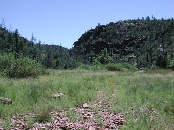
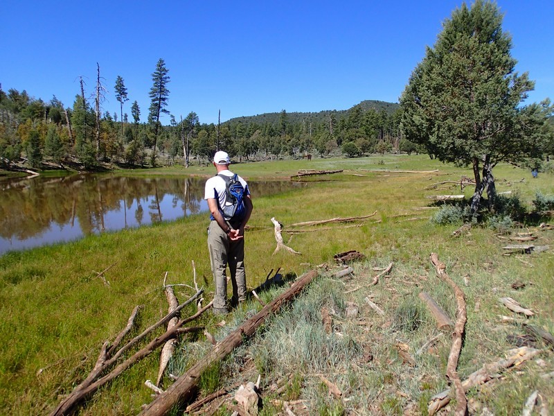
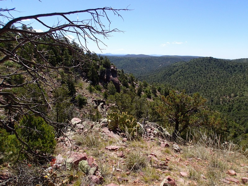
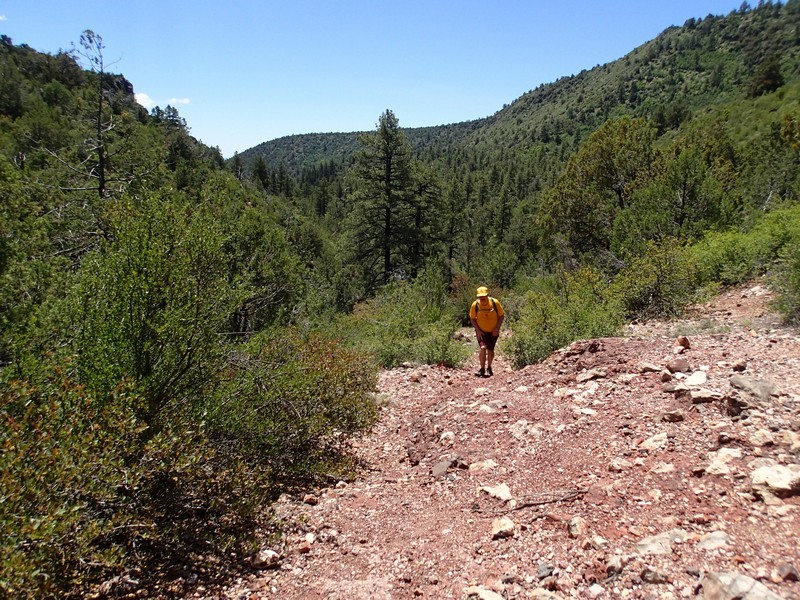
The Oak trail gains elevation more steeply and has some switchbacks as it climbs out of the canyon. The reward is that the views across the valley are more impressive. The trail gains about 700 ft here before topping out and then starting a slow decent back to the Pine trailhead. There is not much shade here, and the foliage is mostly juniper and short pines. As the trail drops back down, more of the pine forest arrives, however this section is recovering from a burn, so there is still not much shade. There are several pretty meadows and a water tank along this section.
After about 3.0 miles from Oak Spring (totaling 5.0 miles) you will start to see the signs of civilization and hear HWY-87. Use your route finding skills here, as this trail bends south, but you want to continue to head east. After entering a clearing, there is a wash to the left and a barbed wire fence with a gate. Going through this gate (or going through a hole in the fence) puts you on an unnamed forest road. Follow this forest road east for 0.2 miles to the Pine trailhead and your shuttle vehicle.
If you don't want a shuttle, taking an out and back on either trail would be enjoyable. My personal choice would be from the Pine trailhead along Oak Trail as I feel it is more scenic than the other. Unfortunately, this trailhead is more difficult to find. If you are heading to Oak Spring from the Oak Trail, there is a junction about 0.5 miles into the hike marked by a sign stating "No Motor Vehicles" and a water tank in the distance. Stay left here and go through the gate to stay on the Oak Trail (JCT_2 on the map).
