
- Hikes in Arizona
- Mogollon Rim
- Wet Beaver Creek
Wet Beaver Creek

Location
To get to the Bell trailhead: from the Phoenix area, take I-17 North toward Flagstaff, AZ. After passing Camp Verde, take exit #298 East towards Wet Beaver Creek. Follow the paved road for 2 miles, turning left at the sign for the trailhead. Go another 0.3 miles to the trailhead. There are restrooms here but no treated water.
Hike details
Season
- June
- July
- August
- January
- February
- December
Solitude
Difficulty
Permits
Hike up Wet Beaver Creek in Arizona.
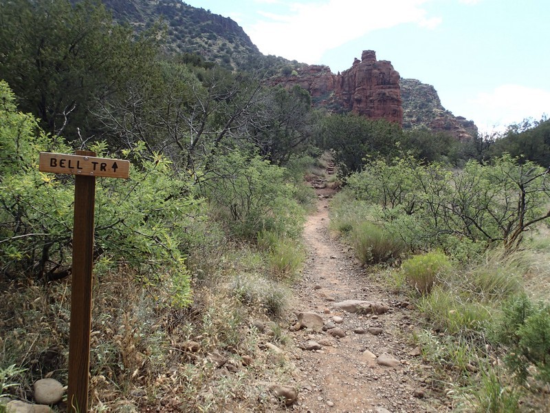
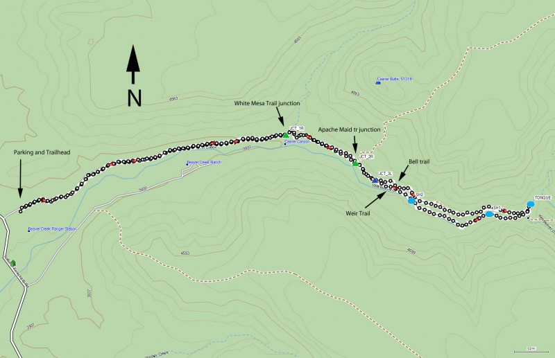
The popularity of this trail is easy to understand. The trailhead is accessible by passenger cars and only 2.3 miles from a major freeway. Considering that there is multiple swimming opportunities, I'm surprised more people don't forget about slide rock and come to Wet Beaver Creek. This write up describes a loop hike to Bell Crossing and back.
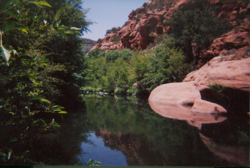
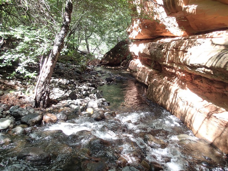
The Bell trail parallels the creek to the left. The trail was an old jeep trail and is easy to follow. The red rock hiking will remind you of the close proximity of Wet Beaver Creek to Sedona and Oak Creek. There are several side trails that lead to the creek, but don't go to the creek just yet, if you want to find a pool of your very own that you don't have to share with anyone.
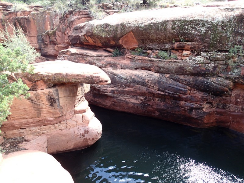
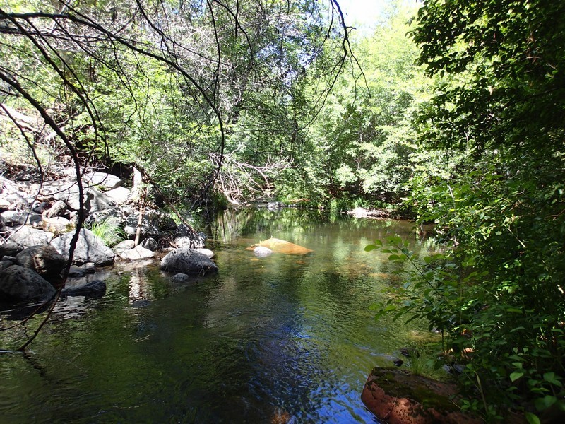
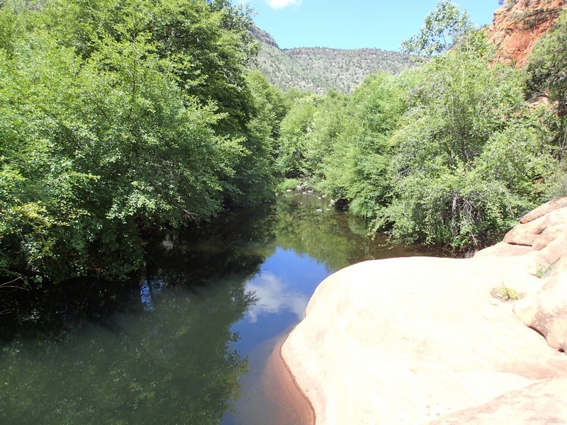
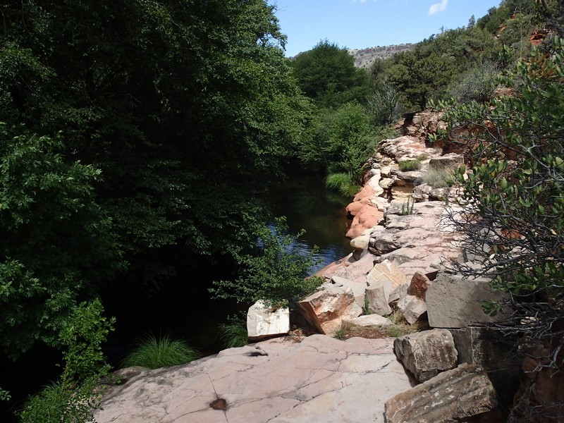
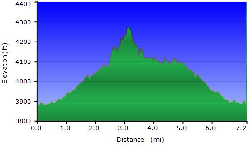
After 1.7 miles of hiking, stay right at the signed junction with the White Mesa trail (JCT_1R on map). After 2.0 miles of hiking, the trail splits. To the left, the Apache Maid trail (JCT_2R on map) takes off for the rim, finally ending at the start of Wet Beaver Creek. Stay on the Bell trail. After 0.2 more miles, the trail splits again (JCT_3L on the map), with the Wein trail heading next to the creek and the Bell trail heading parallel, but higher off the floor of the canyon. Stay on the Bell trail. The trail gains some altitude and you get some nice high views of the creek below. You'll also see some nice pools to swim in. Patience... we will get to them soon. After 1.8 more miles, you will see a small sign for Bell crossing. Here, the Bell trail crosses the river and heads up Long Canyon. Time to get our feet wet! The temperature near the creek is easily 15 degrees cooler than the surrounding desert. If you go left here, you'll see a popular swimming hole, known locally as "The Beaver's Tongue" (TONGUE on the map) but the park service calls it "The Crack". This is a good swimming hole, but popular. If you want a more secluded swimming hole, make your way downstream of Wet Beaver creek, boulder hopping and splashing through the creek. Within the next 30 minutes, you will pass at least three really nice swimming pools (Two of them, SH1 and SH2 are marked on the map). Pick one you like and enjoy the shade and swimming. If you like fishing, bring your pole, as there are quite a few fish in this stream. The water temperature is cool and comfortable. The water feels especially wonderful after that 4 mile hike in the hot sun you just took!
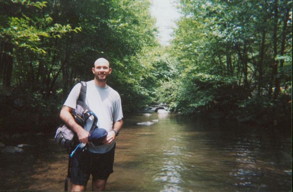
When you are ready, continue to wade, swim, and boulder hop down the creek. This method of hiking is much slower than taking the Bell trail, but is also very enjoyable. There aren't many hikes in Arizona that have this combination of great hiking along with a cool, refreshing swim. After hiking for a mile or so, keep your eye on the creek to the right. The Wein trail parallels the creek here and when you tire of walking down the creek, you can take this trail back to the 2.2 mile point. Here the Wein trail hooks back up with the Bell trail. Return to your car on the Bell trail.
For the more adventurous, you can continue up the creek an additional15 miles, then loop back on the Apache Maid trail. Past Bell crossing are many pools and falls to negotiate... only experience canyoneers need apply. See Tyler Williams' book for a description.
