
- Hikes in Arizona
- Sedona
- Fay canyon and arch
Fay canyon and arch
Location
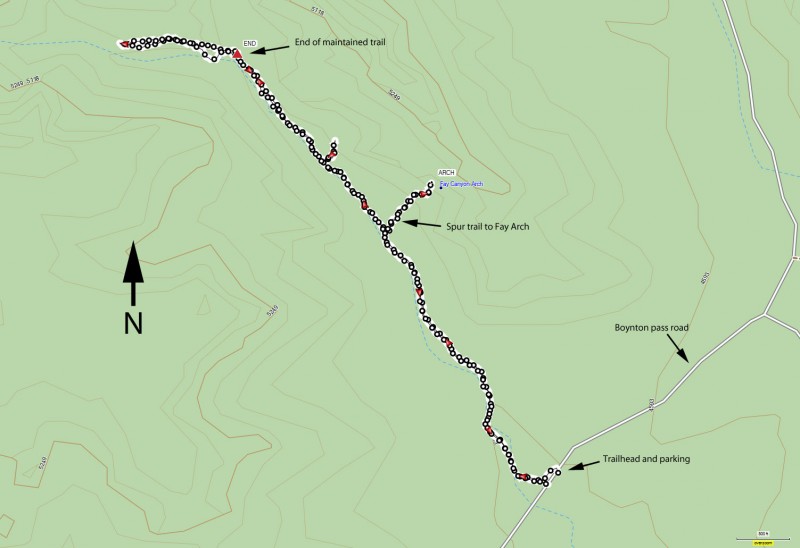
From the Phoenix area, take I-17 North to exit 298 to HWY 179 West into Sedona. Follow the signs to 89A West. Turn right 3.1 miles after the junction on Dry Creek Road. When you reach the intersection of 152C, turn left and go another 1.6 miles. At Boynton Pass road, turn left and go the final 0.5 miles to a signed parking area on your left.
Hike details
Season
- April
- May
- October
- November
Solitude
Difficulty
Permits
Hike up Fay Canyon to Fay Arch near Sedona, Arizona
Note: You do not need a "Red Rock Pass" to park at this trailhead (as of May 2016).
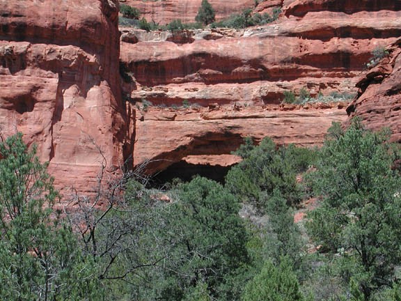
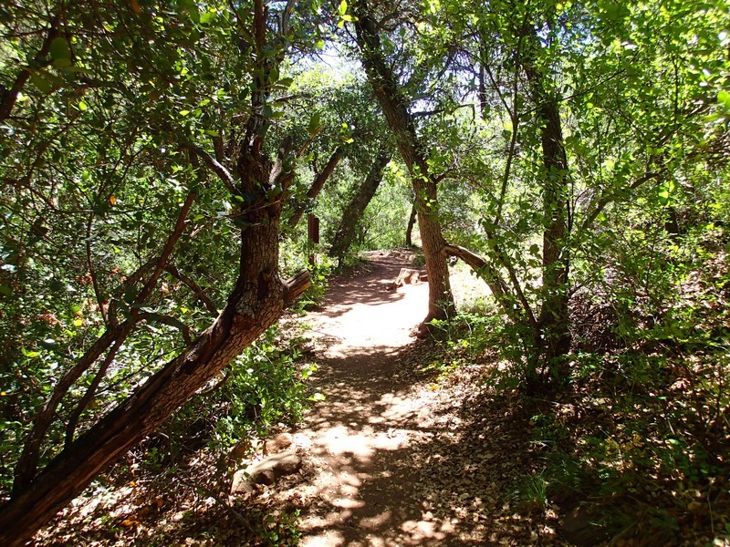
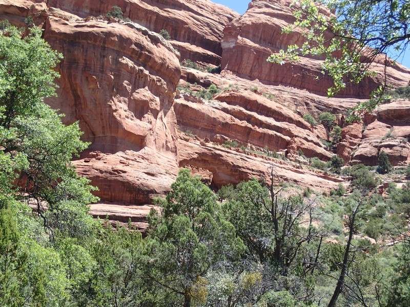
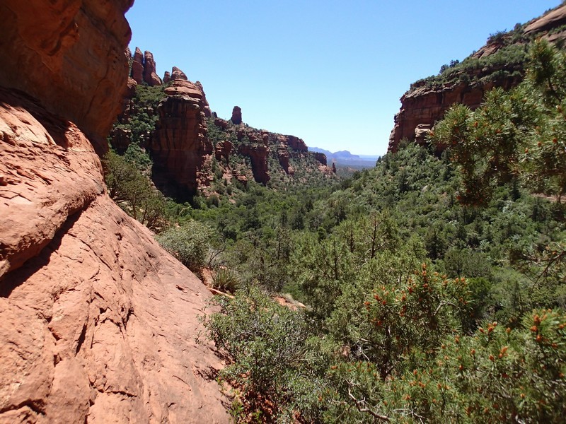
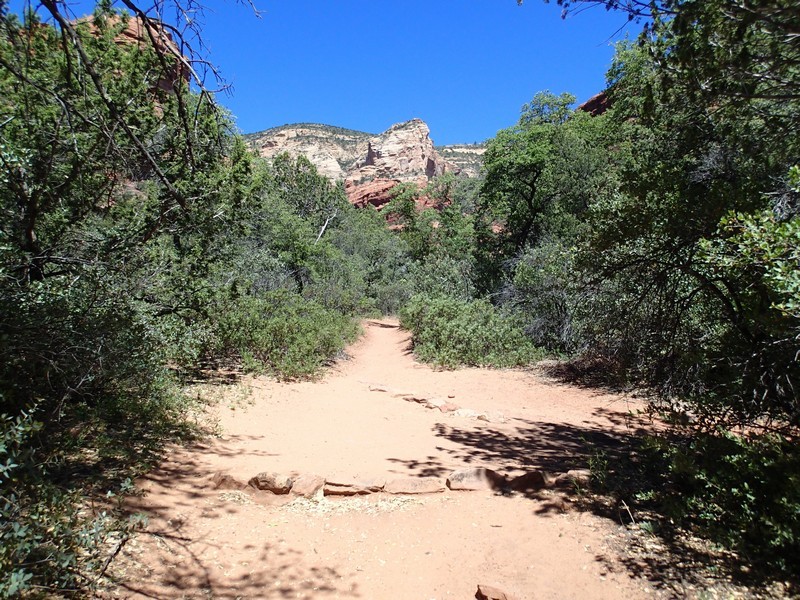
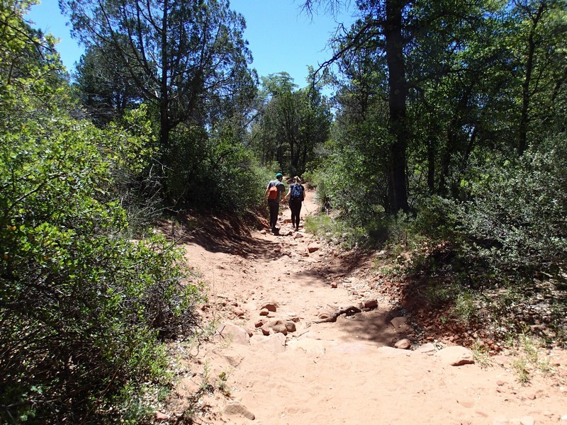
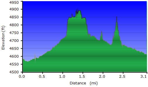
This well marked trail heads through a shady canyon to start. After about 0.5 miles on this flat trail, keep your eyes on the canyon right to see the natural arch. A reasonably well marked (but unsigned) trail starts off here to the arch. The arch requires a short scramble to climb up on top. Watch your step!
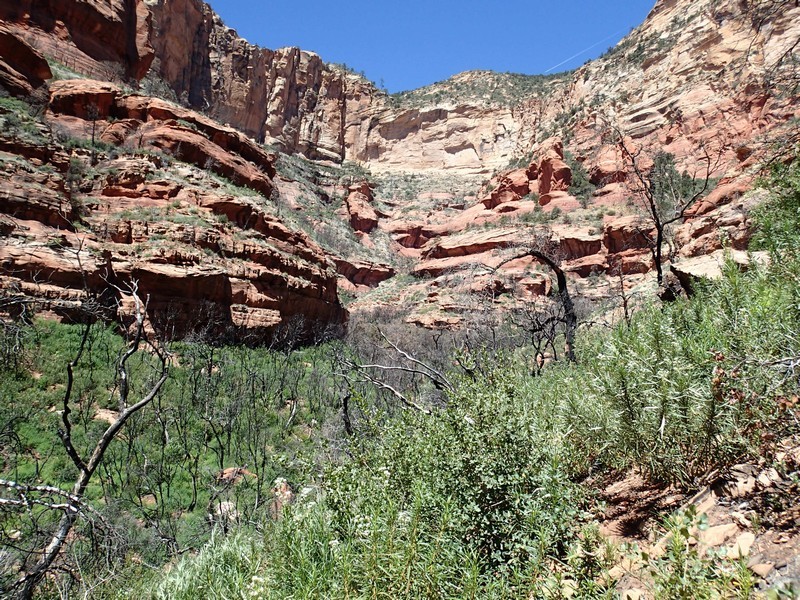
After admiring the arch, continue up the last 0.5 miles to the end of the canyon. The maintained trail (marked "End" on the map) stops short of the end of the canyon. I explored a bit past this on a rocky trail just to see, but there was a recent burn in the area that made the going tough. Please respect any ruins or artifacts you see.
After this hike, you'll most likely be looking for another one in the area... I know I was.
