
- Hikes in Arizona
- Northern Arizona
- Cherum Peak
Cherum Peak
Location
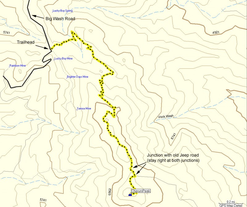
To get to the trailhead: from the Kingman area, take I-40 west to HWY-93 North. Take HWY-93 north about 20 miles to mile marker 51. Turn right onto the signed junction of Big Wash Road. Take the well graded dirt road for 12.3 miles to the signed trailhead (on your left) for the Cherum Peak trail. A high clearance vehicle is recommended for this road.
Hike details
Season
- January
- February
- March
- April
- October
- November
- December
Solitude
Difficulty
Permits
Hike to the top of Cherum peak in Arizona.
Watching silently as gamblers speed past on their way to Las Vegas, Cherum peak rests on BLM land in the Cerbat Mountain range. If you are looking for a break to stretch your legs, this is an excellent hike in this area to pick.
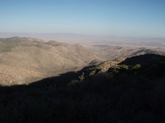
As you drive up Big Wash road, be sure to enjoy the increasingly impressive views of the surrounding area along the exposed road. The signed trailhead is on your left, located at the intersection between Big Wash road and a dirt road leading up to some old mines.
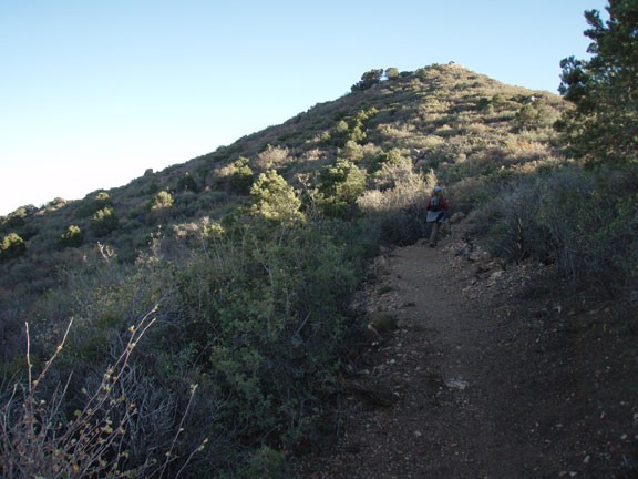
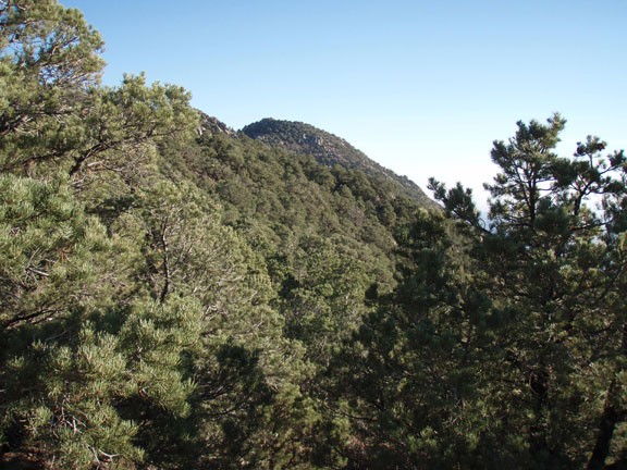
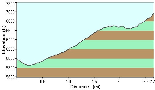
The trail is easy to follow for it's entire length. After a short descent, the trail climbs steadily towards the base of Cherum peak. The vegetation here is chaparral and some pinyon pine, with a greater percentage of pine trees as you reach the summit. There are a few gates on this trail, please close them behind you.
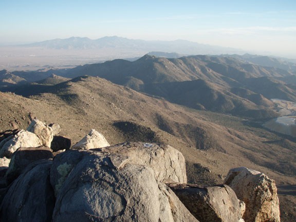
Nearing the peak, you will cross a closed Jeep road on two occasions. Both these junctions are signed for Cherum Peak (turn right at both junctions) and are shown on the map. The last 0.5 miles are the rockiest and steepest of the trail so far, but this is a short stretch. Your reward is great views of the surrounding area, including the whole of the Cerbat Mountain range, the Black Mountains (west) and Music Mountains (east). The mine to your south is Duval mine and they are looking for copper.
After you've finished enjoying the views, return the way you came.
