
- Hikes in Arizona
- Northern Arizona
- Sunset Trail
Sunset Trail
Location
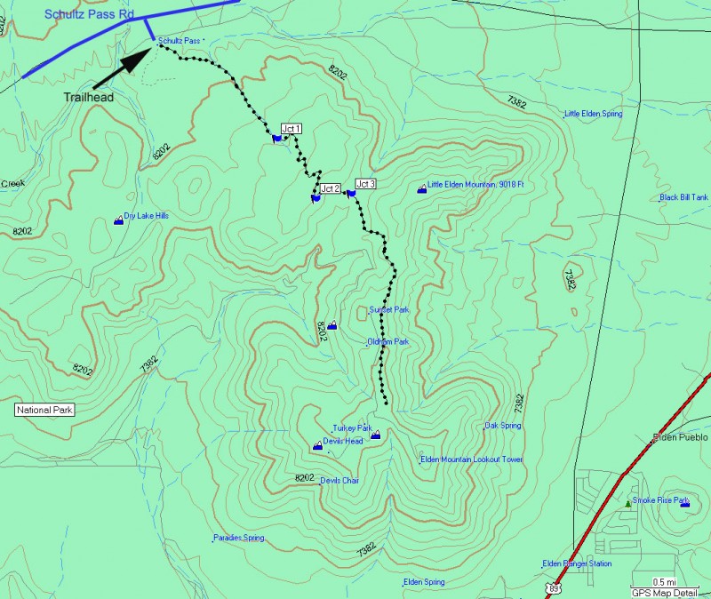
From the Flagstaff area, take HWY-180 towards the Grand Canyon. About 2 miles out of Flagstaff, turn right onto the signed Schultz Pass Road. After 0.3 miles, this road makes a sharp left turn (going straight will put you on the Elden Lookout Road). Continue on this well graded dirt road for a total of 5.4 miles from HWY-180. There is a signed turn off for the Sunset trail. Turn right here into the parking area.
Hike details
Season
- June
- July
- August
- September
Solitude
Difficulty
Permits
Hike along the Sunset trail near Flagstaff, Arizona.
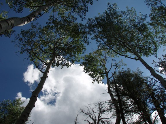
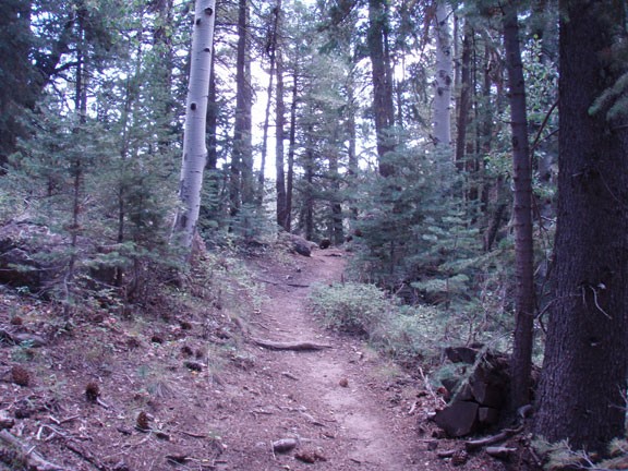
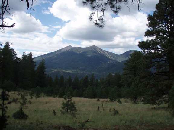
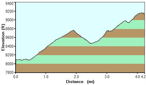
The sunset trail is a favorite of the Flagstaff area outdoor adventurers. Hikers and mountain bikers share this trail, so if you're a hiker, keep an eye out for the bikers. From the parking area, follow the signed trailhead into the forest. The dirt path is easily followed. The forest here is generously shaded with pine and aspen trees. There is even a few groups of ferns along this path. Be sure to turn around to see the great view of Humphries Peak. The first 2 miles is a 600 ft climb, which has just been redone by trail maintenance volunteers. The result is a marked improvement from the washed out trail it replaced. Follow the signs at the top (Jct 1 on the map) as the trail bends left.
The descent here follows through an area known to locals as the Hobbit forest. Walking through it, you can imagine the Hobbits scurrying around in the shadows. At the marked junction with the Brookbank trail, stay left again (following the signs for the Mount Elden summit). Shortly after is a trail junction for the Little Bear trail (Jct 3 on the map). Stay right here.
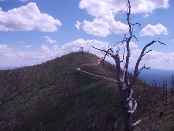
Soon your climbing is rewarded with great views of the Flagstaff area from the ridge line. The trees on the South side of the ridge were wiped out by the 1977 fire, which create unbroken views stretching for miles. Follow along this ridgeline all the way to the Mount Elden summit, which is a perfect place for lunch.
This hike is an out and back, so when you are ready, retrace your steps. If you're feeling ambitious, you can make a loop back to your car by taking the Brookbank trail or the Little Bear trail.
