
- Hikes in Arizona
- Northern Arizona
- Fisher Point Via Sandy's Canyon
Fisher Point Via Sandy's Canyon
Location
From the Phoenix area, take I-17 North to the point where I-40, I-17, and HWY89A meet. Take the Lake Mary Road exit and head south. Go 5.6 miles on this road to the Canyon Vista Campground turn on your left. You'll need to park at the entrance of the campground, as there is no parking at the trailhead. Once you've parked, take the short walk through the campground to the signed trailhead.
Hike details
Season
- June
- July
- August
Solitude
Difficulty
Permits
Hike to Fisher Point via the Sandy's Canyon trail near Flagstaff, Arizona.
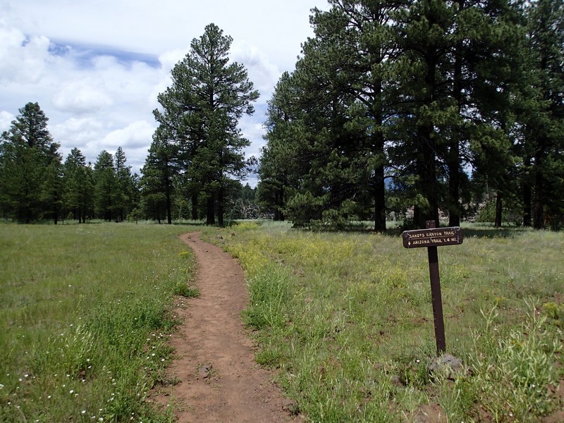
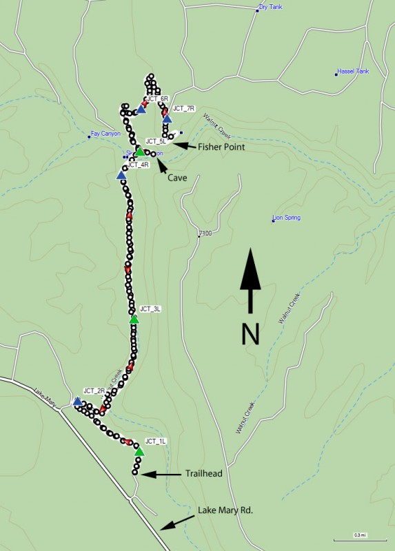
This hike starts on a well marked and signed trail towards 'The Pit', which is a popular outdoor rock climbing area. Going straight gets you to the canyon wall for the climbing, but we don't want to go there. Instead, turn left on the trail signed for Fisher Point (JCT_1L on the map) and go left along the canyon wall to a signed route down (JCT_2R on the map).
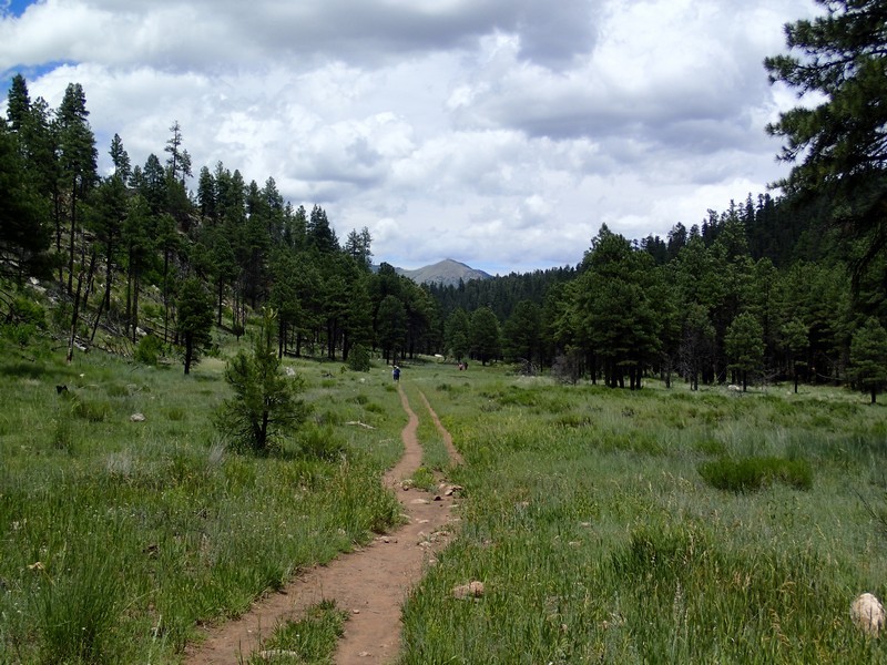
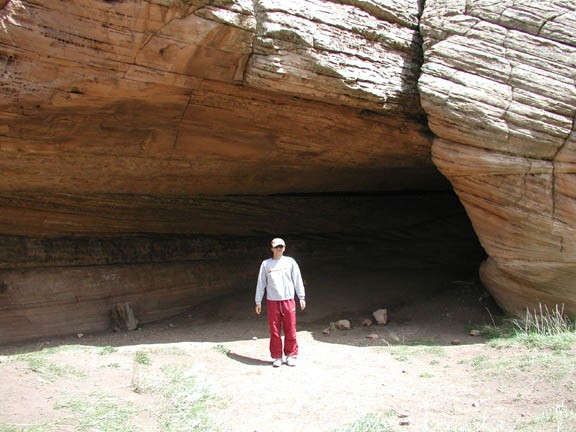
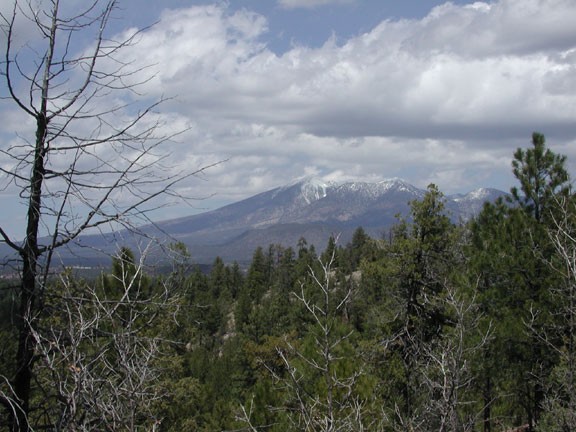
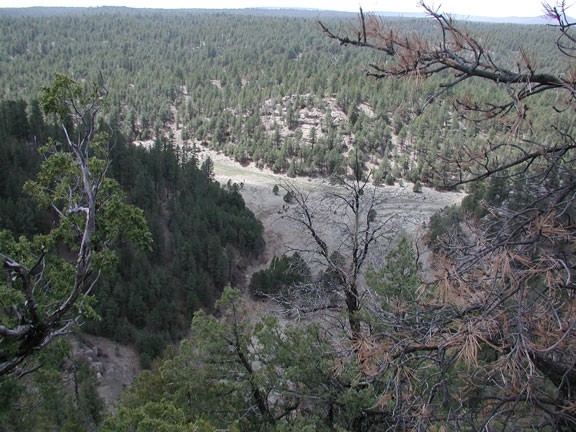
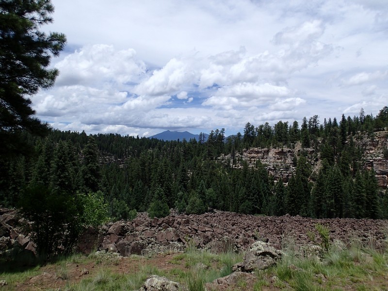
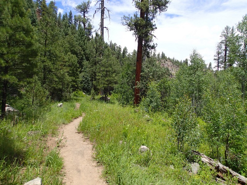
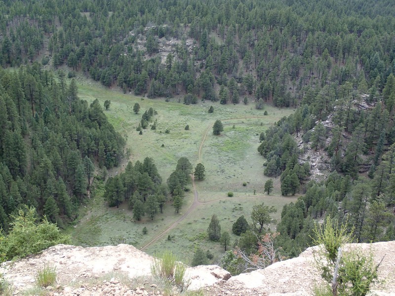
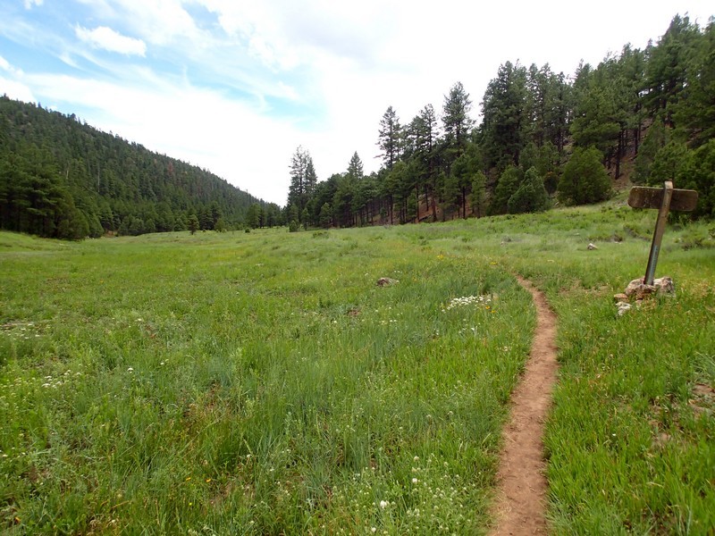
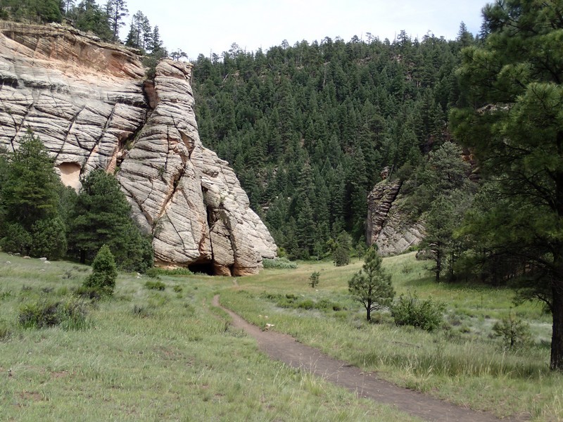
From this point, the hike trail travels along the bottom of Sandy's Canyon. This part of the hike is flat and relaxing. Keep your eyes out for the many deer and Elk that call this area their home. After passing the signed trail fork to Marshall Lake (JCT_3L) stay left here to continue on to Fisher point. Further hiking will get to a point where the canyon opens up to a meadow. To the left is a 3.7 mile trail to Lone Tree Road in Flagstaff (JCT_4R on the map). Stay right at this fork and walk another 0.1 miles to another fork (JCT_5L on the map). To the right is a trail through Walnut Canyon. You should be able to see a cave here as the canyon momentarily opens up to a meadow. Instead of heading towards the cave, turn left here and continue following the trail as it switchbacks up to the point above the cave. Follow the signs to Fisher point (JCT_6R and JCT_7R on the map) to eventually reach Fisher point. There are excellent views of the San Francisco peaks and the surrounding area. This is a nice spot for lunch.
After lunch and a break, return the way you came. It's worth a side trip to 'The Pit' to watch the climbers, just watch for falling rocks and stay a respectful distance away.
Enjoy!
