
- Hikes in Arizona
- Phoenix Area and Central Arizona
- Marcus Landslide Trail (Scottsdale Sonoran Preserve)
Marcus Landslide Trail (Scottsdale Sonoran Preserve)
Location
From the Phoenix area, take state HWY-101 North to the Pima Road exit. Drive north on Pima road and turn right onto Happy Valley road. Go east on Happy Valley road, which will turn North on it's own and become 118th street. Turn right onto signed Ranch Gate Road. Go 1.3 miles to 128th street and turn right. After 1 mile more of driving, you'll reach the signed trailhead. There are restrooms at the trailhead, but no water.
Hike details
Season
- January
- February
- March
- April
- October
- November
- December
Solitude
Difficulty
Permits
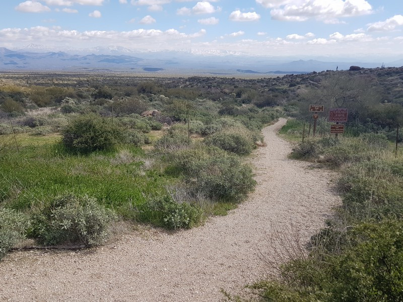
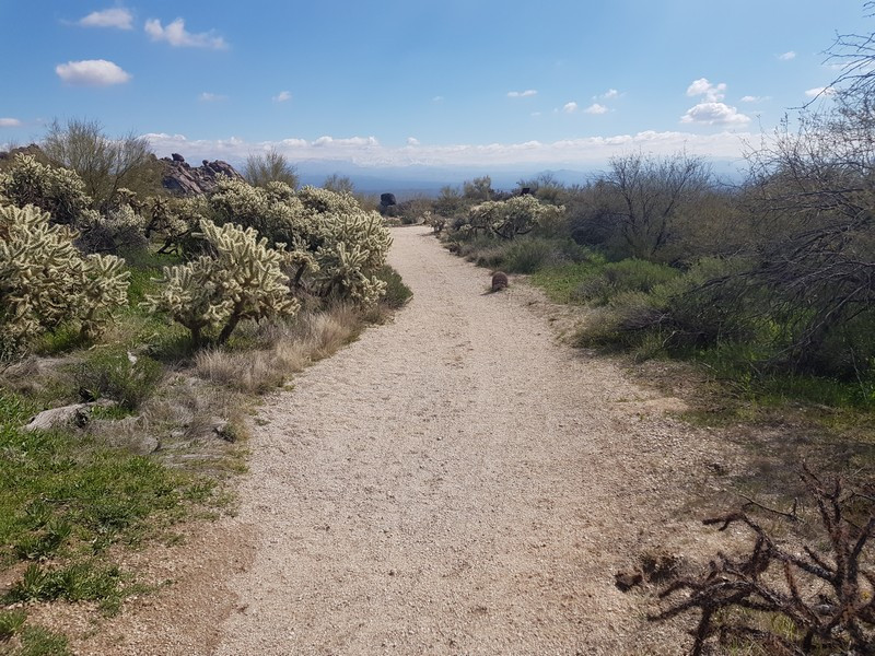
Lollypop loop hike on the Marcus Landslide trail in the Scottsdale Sonoran Preserve in Arizona.
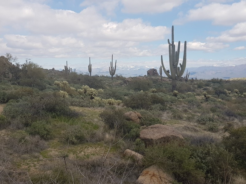
The Scottsdale McDowell Mountain preserve has very quickly become a popular hiking destination.There is a pleasant walk on a section of trail called the Marcus Landslide trail that has interesting interpretive signs with desert hiking.
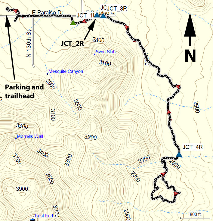
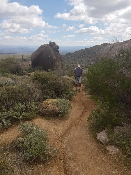
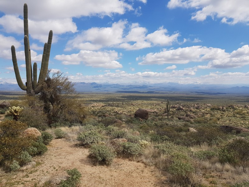
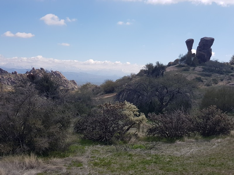
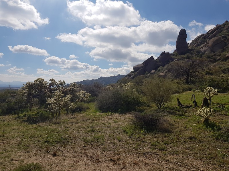
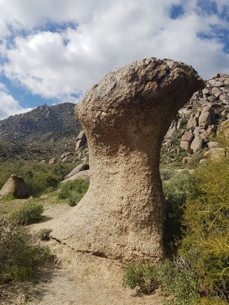
From the parking area, you'll be looking for the trail on the East side signed as the Marcus Landslide trail. The trail junctions in this area are signed and the trail is easy to follow. You'll see typical Sonoran desert cactii here (Saguaro, barrel, cholla). The trail heads directly East for the first 0.3 miles, going through a few trail junctions (JCT_1L and JCT_2R on the map). At these trail junctions, just keep following the Marcus Landslide trail. After 0.4 miles of hiking, you'll get to the signed junction with the Rock Knob trail (JCT_3R on the map). Turn right here to stay on the Marcus Landslide trail. There are some neat rock formations along this section of trail that are worth checking out. There are also a number of interpretive signs to enjoy. After 1.3 miles of hiking you'll reach the signed trail junction that goes to the McDowell Mountain park (JCT_4R on the map). Stay right here and soon you'll reach the small sign designating the Marcus Landslide loop.
This section of trail loops back to the signed point, so you can take it in either direction. You're walking through a very old landslide area and there are a number of interpretive signs explaining this. Mostly, this section is enjoyable for the views of both the McDowell mountains, the Four Peaks Wilderness, and the Superstition Wilderness off in the distance.
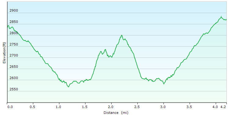
After completing the loop, you'll take the same route back to the trailhead.
