
- Hikes in Arizona
- Prescott Area
- Willow Creek Lake
Willow Creek Lake
Location
From the Phoenix area, take I-17 to the junction of HWY-69. Turn left onto HWY-69 towards Prescott. When you enter the city of Prescott Valley, turn right on the signed road for Prescott Lakes Parkway. Take this road 3.5 miles to the intersection with Willow Lake Road. Turn left and take this road 1.7 miles, turning right at Willow Creek Road. After 0.5 miles on this road, turn right at the sign for Willow Creek Park. Take the road through the park past the baseball fields to parking near the trailhead. There are restrooms nearby, but no water.
Hike details
- Water
- Wild Flowers
Season
- April
- May
- September
- October
- January
- February
- December
Solitude
Difficulty
Permits
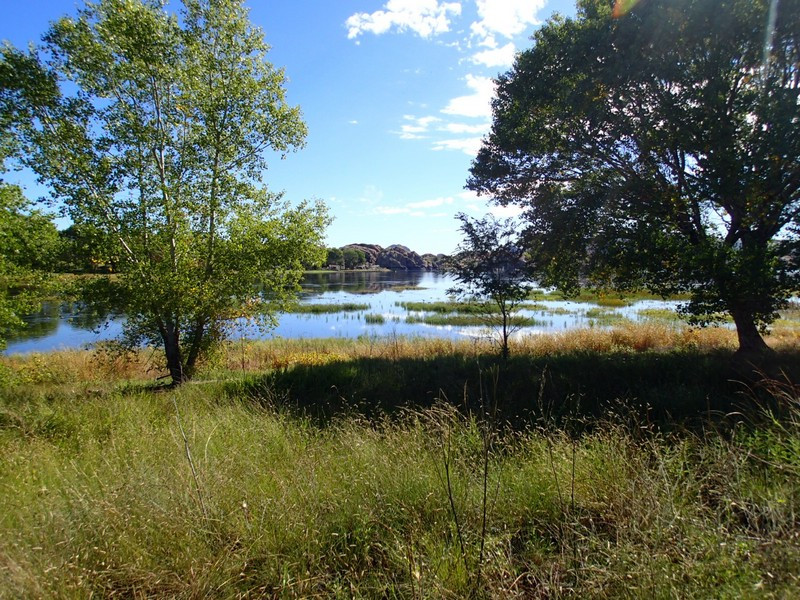
Hike around Willow Creek Lake near Prescott, Arizona.
Willow Creek Lake is a popular destination for Prescott folks looking to kayak, mountain bike, or hike. There is a very enjoyable hike that circles the lake.
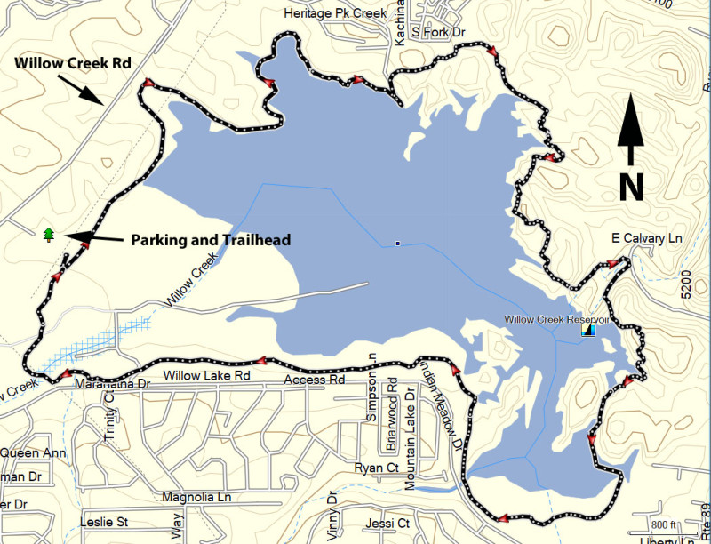
There are multiple lake trail access points. We arbitrarily chose Jim McCastland Willow Creek Park as our start. There is a good bit of parking here and very easy trail access.
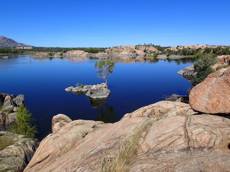
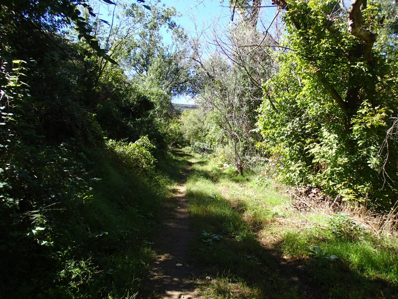
From the trailhead, we arbitrarily chose a clockwise loop, so turn left (North) here. This section of trail is flat and well worn, making it easy to follow. The trail contours around the edges of the lake, providing some really nice views. This is also a popular section for bikers, so be aware. After about 1.5 miles of hiking, you'll pass a boat ramp and a parking area that provides additional access to the trailhead. From this point, the trail gets more challenging, as you are walking along boulders and many times the trail is only marked by white paint dots. Use those route finding skills to stay on the path and don't continue unless you see the next set of white paint dots or clear trail path.
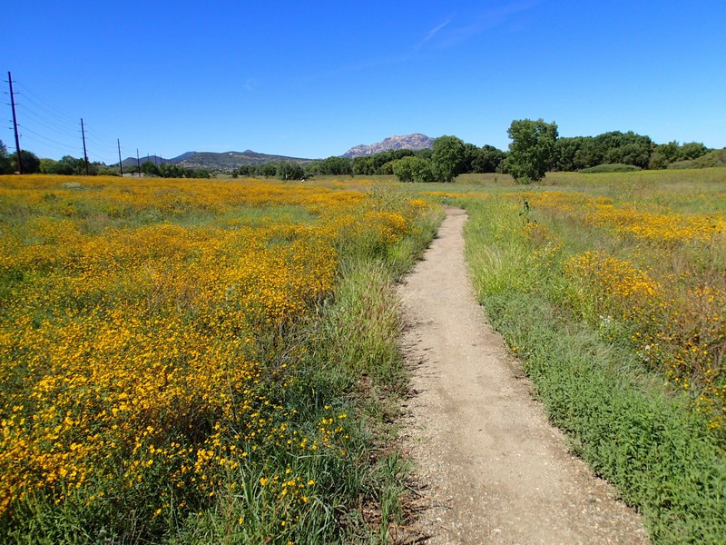
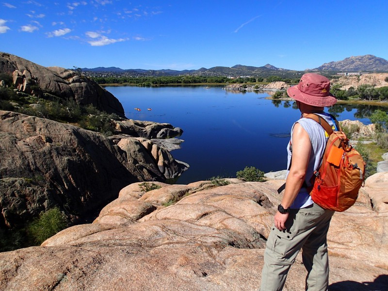
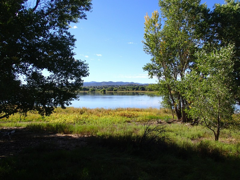
Continue through the variable rocks as you'll enjoy more great lake views, as well as views of Granite Mountain. The trail continues to contour around the lake for the entirety of it's length. At the extreme south east tip of the trail, the trail crosses a section of the lake that in high water times may not be easily passable. In late September, we had no problems with this section. From here to the trailhead, the trail flattens out and you'll likely encounter some lovely wildflowers as you walk the easy and well worn section back to the trailhead.
