
- Hikes in Arizona
- Phoenix Area and Central Arizona
- Scenic Loop-McDowell Mountain Park
Scenic Loop-McDowell Mountain Park
Location
In the Phoenix area, take state HWY-87 towards Payson. Turn left onto Shea Blvd into Fountain Hills. From Shea Blvd turn right onto Fountain Hills Blvd. This will turn into McDowell Mountain Road. Make a left at the signed entrance to McDowell Mountain Park. After paying your $7 (as of March-2023) continue on the main park road (McDowell Mountain Park Drive), following the signs for the Trailhead Staging Area. Turn right at signed Shallmo Drive and park in the trailhead area. There are restrooms and water here.
Hike details
Season
- January
- February
- March
- April
- October
- November
- December
- July
- August
Solitude
Difficulty
Permits
Hike the Scenic Loop in McDowell Mountain Park near Phoenix, Arizona.
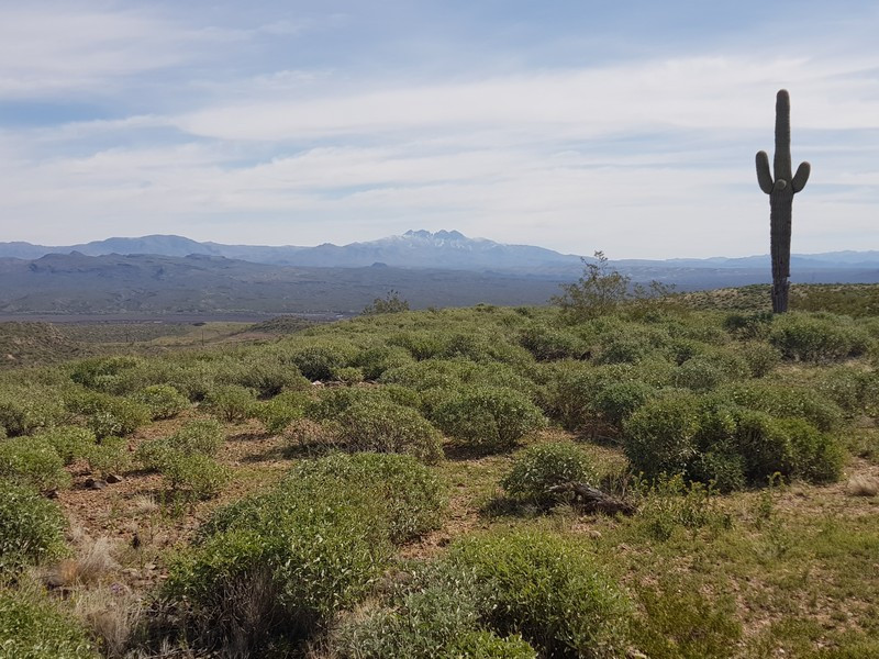
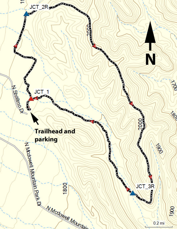
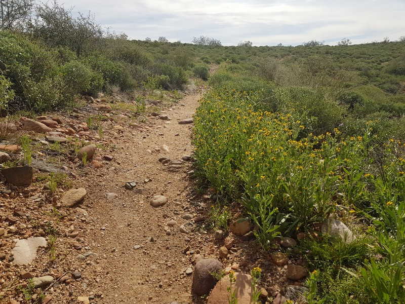
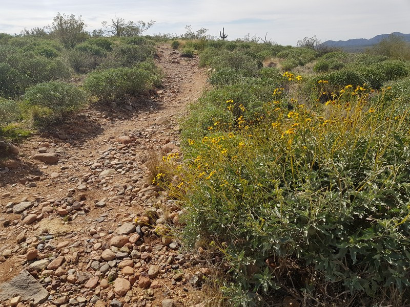
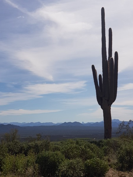
This is an enjoyable and easy loop hike in McDowell Mountain park that provides great views of Four Peaks, Superstitions, and the McDowell Mountain range. From the well signed trailhead, walk about 200 yards to the intersection that starts the loop (JCT_1 on the map). It doesn't matter which way you go, so we arbitrarily went clockwise. There are plenty of healthy Saguaros here, along with all your other favorite Sonoran desert cacti.
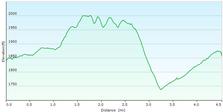
After 0.8 miles of hiking, turn right at the signed trail junction for the Scenic Loop (JCT_2R on the map). This trail gently climbs up to a ridgeline where you'll enjoy great views of the Superstition Wilderness and Four Peaks Wilderness to the East, and views of the McDowell Mountain range to the West. The trail stays on this prominent ridgeline for about 2.2 miles.
At the trail junction with the Cinch trail (JCT_3R on the map) stay right and walk the easy 1.2 miles back to the loop start and the trailhead.
