
- Hikes in Arizona
- White Mountains and Eastern Arizona
- Government Springs - Greer
Government Springs - Greer
Location
From the Phoenix area, take HWY-60 to Globe, turning north to Show Low. From Show Low, take HWY-260 east passing through Pinetop-Lakeside. Continue on HWY-260, turning right onto HWY-373 towards Greer. Take this paved road 6.4 miles all the way to its end. The last 1000 feet or so are well graded dirt. There is a restroom here, but no treated water.
Hike details
- Water
- Wild Animals
Season
- June
- July
- August
- September
- January
- February
- December
Solitude
Difficulty
Permits
Hike along the Government Springs trail along the Little Colorado River in Greer, Arizona.
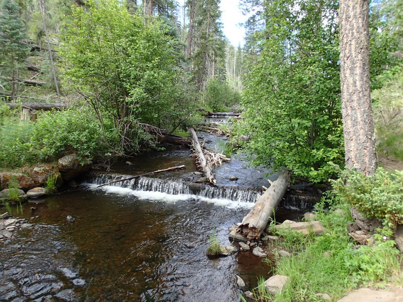
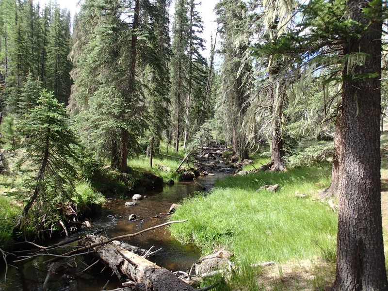
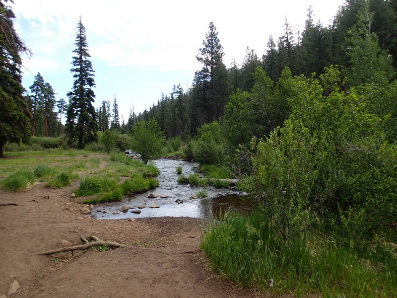
The Little Colorado river is a lovely forest creek up near Greer. A thoroughly enjoyable walk along its banks can be enjoyed by hiking on the Government Springs trail.
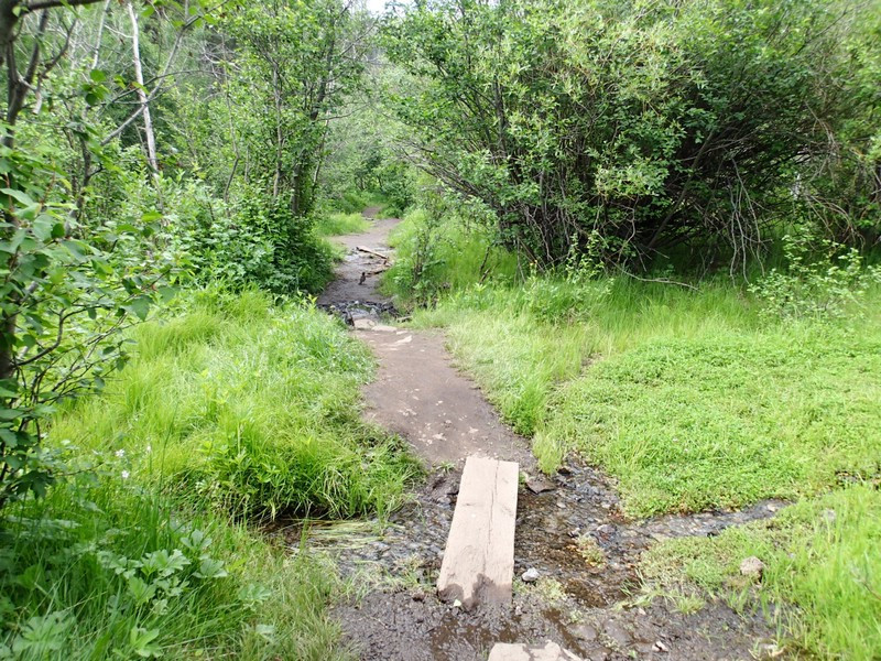
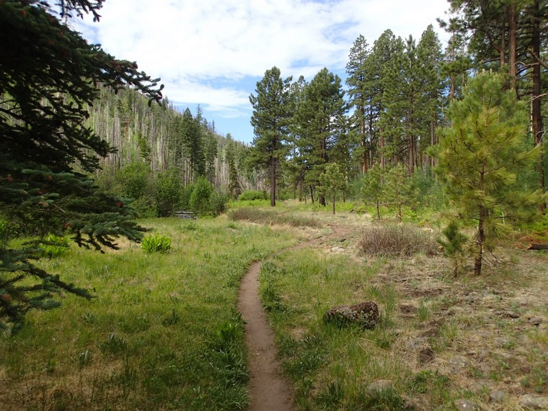
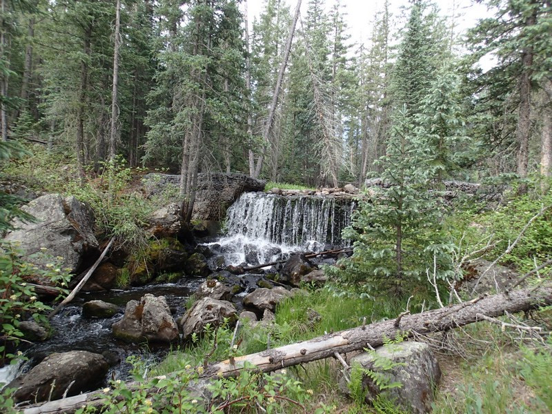
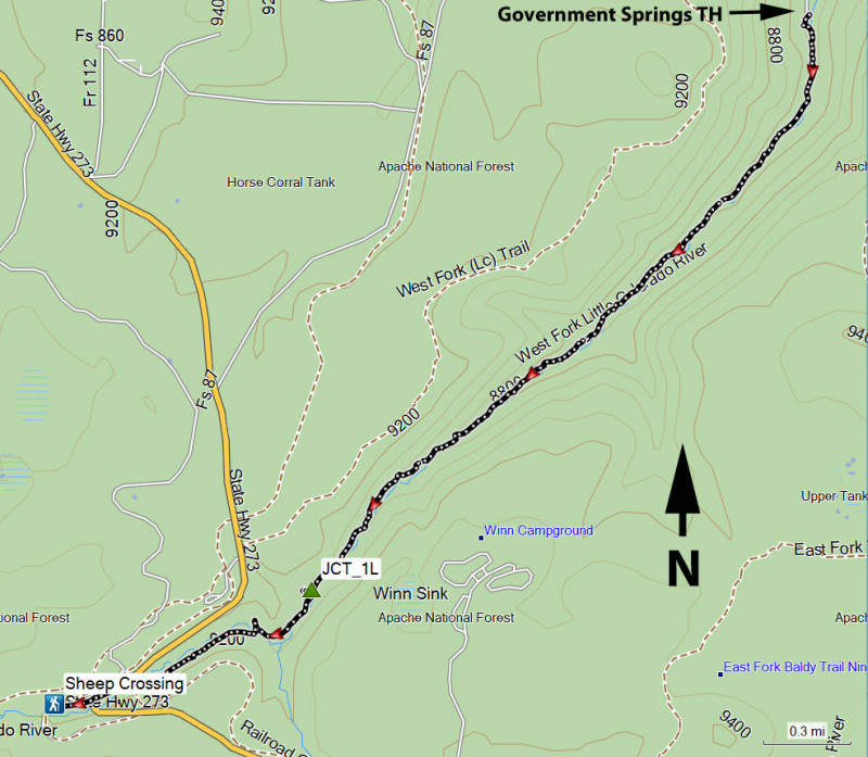
From the trailhead, start walking along the well worn trail along the creek to the south. The trail can be rocky or muddy at times, but is relatively easy to follow as it follows the creek. This is a lush area. You'll enjoy pine trees, aspen, ferns, wild berries, and many other shady plants. There are a number of small waterfalls that spring up during the walk. You may also be blessed with some wildlife viewing. We surprised a large black bear at the start of our hike.
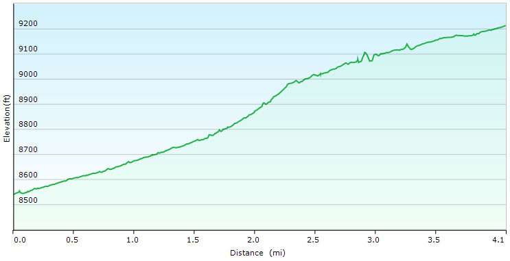
After 2.7 miles of hiking, the trail will head away from the creek (JCT_1L on the map). You can either cross the creek here and pick up a faint trail on the other side, or go up and over the rocks on your right and drop back down to the creek. Don't follow the trail away from the creek for very long, as that leads to another trailhead access. From this point, you'll need to use some route finding, as the trail can get quite faint in places. After about 4.1 miles of hiking, you'll reach HWY-273 and the Sheep Crossing parking area. This is a good turn around point. If you'd like to take a different path back, you can hook up with the West Fork Little Colorado trail to head back into Greer or you can go back the way you came.
