
- Hikes in Arizona
- Superstition and Mazatzal Wilderness
- Bushnell Tank
Bushnell Tank
Location
To get to the trailhead: From the Phoenix area, take HWY87 North, leaving the city limits. After you pass the intersection with Gilbert road you'll stay on HWY87 north for about 36 miles until you reach the town of Sunflower. Soon after this, keep an eye out on your right for the signed Bushnell Tanks exit. It's a very short drive on a well graded gravel road to the closed gate. Park here. Although the path is closed to vehicles, non motorized travel such as hiking is OK.
Hike details
Season
- March
- April
- May
- October
- November
Solitude
Difficulty
Permits
Hike along the trail to Bushnell Tank near Sunflower, Arizona.
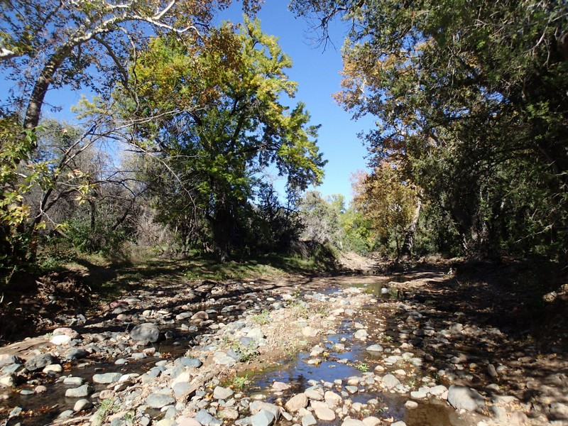
The road to Bushnell Tank (FR22) was a well loved 4x4 road for many years. Unfortunately, the area suffered greatly as a result of some irresponsible 4x4 drivers and the forest service decided to close the road in 2005. Thankfully this dirt road is still open for hikers, so the loss of the 4x4 drivers is the gain of the hiker. It is unknown how long this closure will last, so I'd recommend giving this hike a try before it reopens to vehicle traffic.
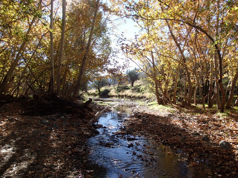
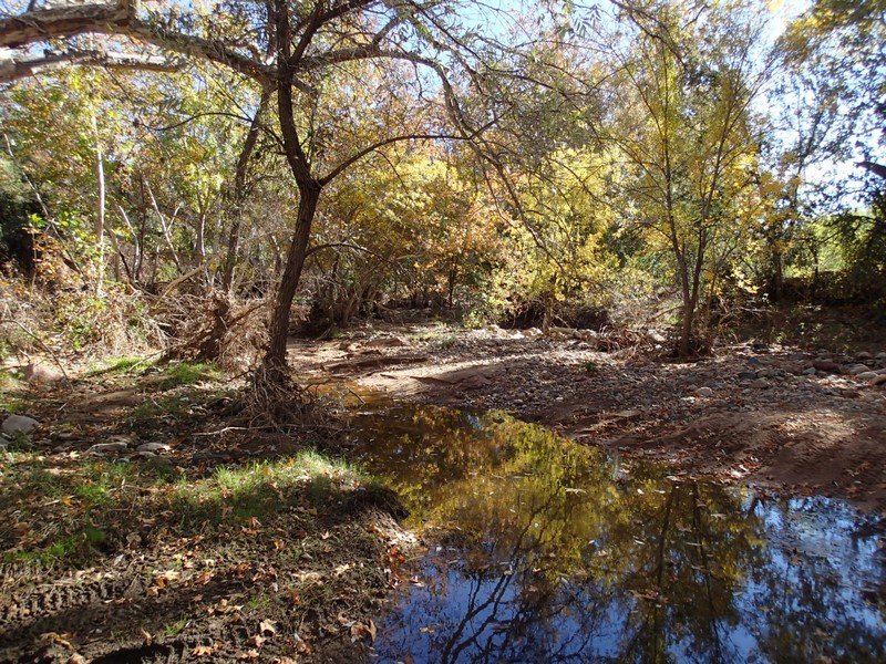
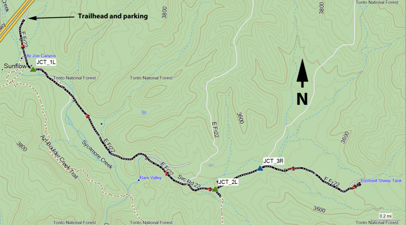
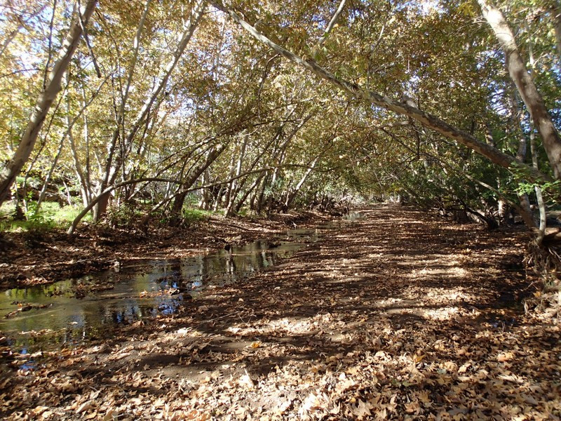
From the gate closing the road, follow along the well trod dirt road. After about 0.3 miles, there is a signed junction to the right for hiking (and connects with the Arizona trail - JCT_1L on the map). You'll stay left here. This section of trail is particularly pleasant, as you'll enjoy an abundance of sycamore and cottonwood trees. You may also enjoy water in Sycamore creek if you've timed your hike well. This makes the hiking more pleasant, but there will be some creek crossing as a result. Our experience with water in the creek was that it wasn't too difficult to keep your feet dry rock hopping across the creek. In autumn, this is a good place to enjoy some fall colors.
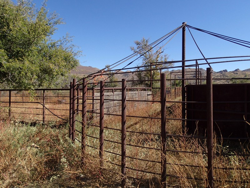
After about 2 miles of hiking, you'll reach an unsigned fork in the road. Stay left here (JCT_2L on the map). After a bit, you'll see a coral on your left that's worth exploring a bit. After another 0.3 miles, you'll reach another road junction (JCT_3R on the map). Stay right here to continue towards Bushnell Tank.
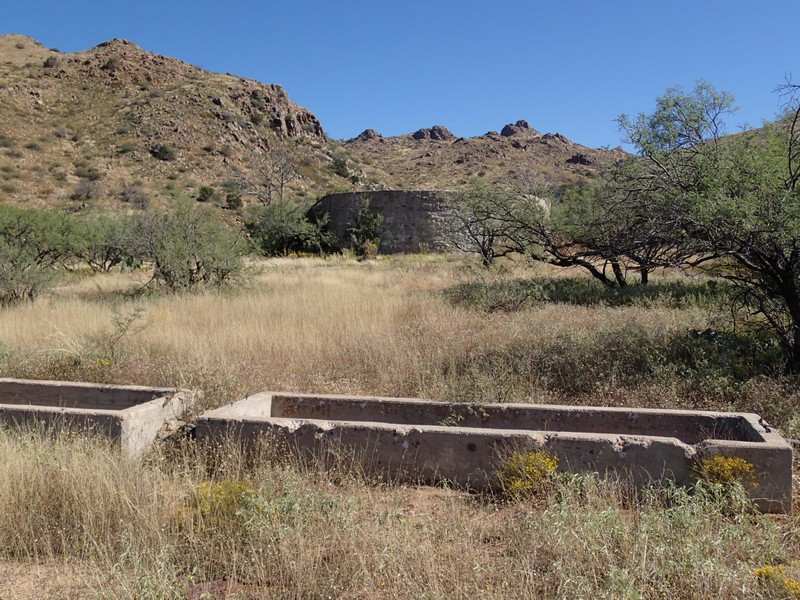
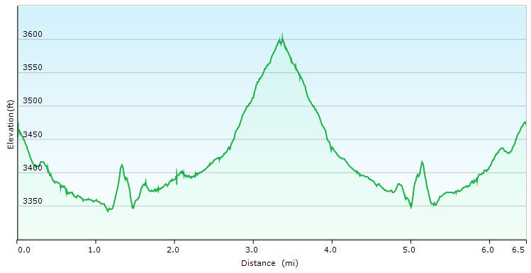
You'll reach Bushnell Tank after 3.2 miles of total hiking. The tank is by far the largest I've ever seen and it is quite interesting to see how they've used it to fill multiple troughs for cattle. It makes for a good turn around point for the hike.
Speaking of cattle, you may run into some on this trail. Be sure to give them a wide birth. When ready, return the way you came.
