Ready for a hike?  We've got hundreds of well documented Arizona hikes.
This is the source for everything you need to know about Arizona Hiking.

Main menu

Cart Empty

You are here: ArizonaHiking.org

Hackberry Spring

Updated
Hackberry Spring
Elevation plot: Hackberry Spring
map: Hackberry Spring
trail to Hackberry Spring
Hackberry Spring
Hiking to Hackberry Spring
Hackberry Spring
Hiking to Hackberry Spring

Location

How to Get There
From the Phoenix area, take US-60 East, leaving the city limits. Take the HWY-88 exit (Idaho Road). About 5.5 miles after leaving Apache Junction, turn right on to signed First Water Road (FR 78). The signed turn-off is between mile marker 201 and 202. Continue 2 miles and park on the horse trailer parking area on the left. If you get to the First Water trailhead parking, you've gone too far. The parking area has a restroom (but no water).
city
Apache Junction
state
AZ
country
USA
Region
Superstition and Mazatzal Wilderness

Hike details

Distance
3.00 [Miles] Total
Hike Distance- Details
3.0 miles round trip to Hackberry Spring.
Time
1.50 [Hours]
Time-details
It took us 1.5 hours to do this hike.
Elevation Change
200 Total gain/loss [Feet]
Hike Trail Type
Out and Back
Special Features
Water

Season

Best Season
  • January
  • February
  • March
  • April
  • October
  • November
  • December
Worst Season
  • May
  • June
  • July
  • August
  • September
Season Details
Best season is late spring when this creek is flowing.
Date Hike completed
November 24, 2017

Solitude

Solitude
Medium
Solitude Details
This is a popular hiking area, so expect to share this hike with 20-30 other people.

Difficulty

Difficulty Rating
Moderate
difficulty detail
The route finding is tricky, although the hike itself is relatively short. This is a moderate difficulty hike due to the route finding and minor scrambling.

Permits

Permit Info
No permits needed
Be Aware of
route finding, minor scrambling and boulder hopping.

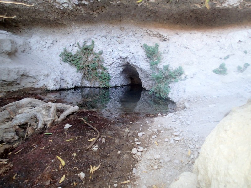
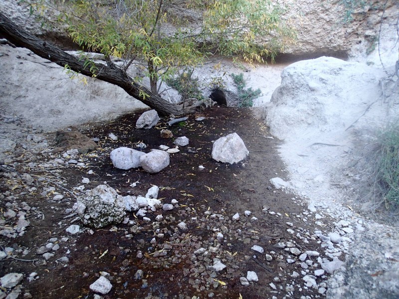
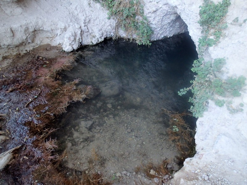
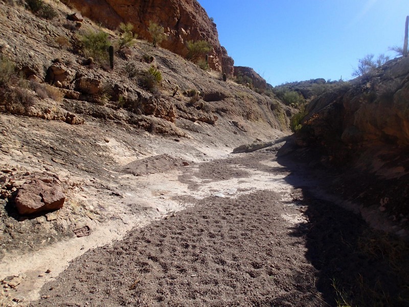
Hike to Hackberry Spring in the Superstition Wilderness, Arizona.

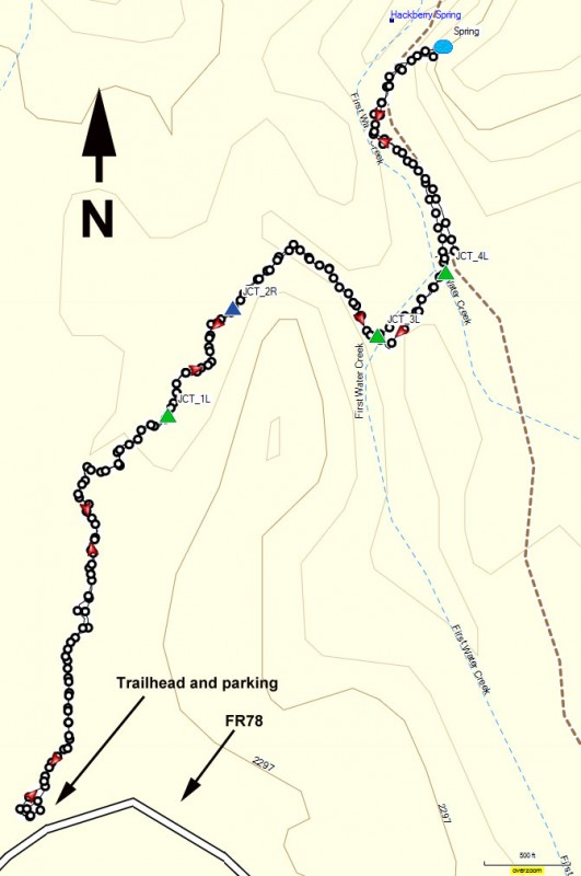
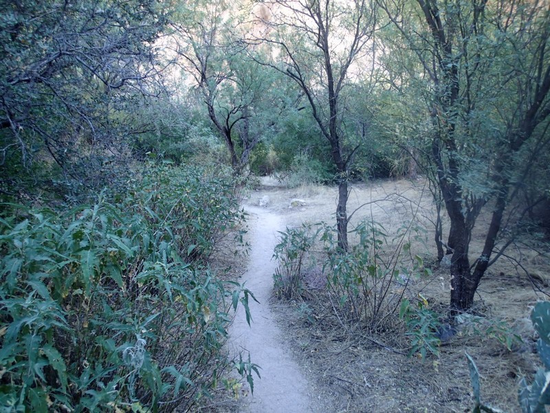
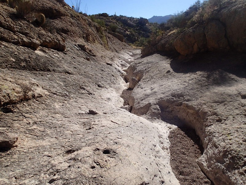
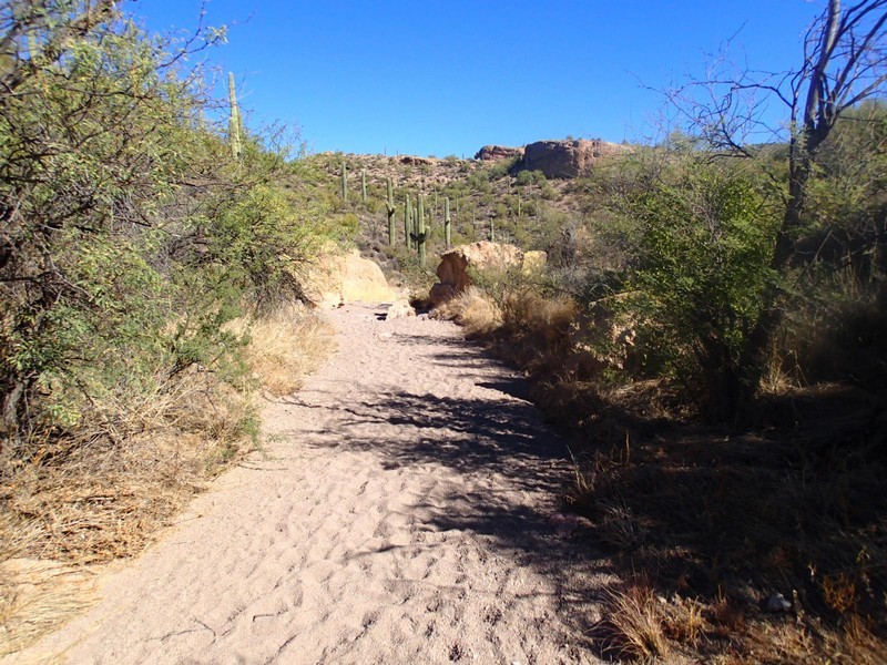
From the parking area, go through the break in the fence and start walking along the wide trail. This trail will relatively quickly drop into a wash, where you'll stay for the duration of the hike. The route finding can be tricky, but if you stay along this wash, continue to follow it down, you'll reach Hackberry spring after about 2 miles of hiking. Stay left at the first wash junction (JCT_1L on the map), stay right at the next junction (JCT_2R on the map), left again at the third junction (JCT_3L on the map) and left on more time (JCT_4L on the map). The final section enters a pretty and high walled canyon. The spring (Spring on the map) is on the right side of the wash and difficult to see from the wash.

Map

Swap Start/End
Adding markers to the map ...
Facebook