
- Hikes in Arizona
- Grand Canyon / Marble Canyon
- Carbon-Chuar Loop
Carbon-Chuar Loop
Location
Hike details
Season
- April
- May
- September
- October
- January
- December
Solitude
Difficulty
Permits
Unique 'boat shuttle' hike through Carbon canyon and Chuar canyon in Grand Canyon National Park, Arizona.
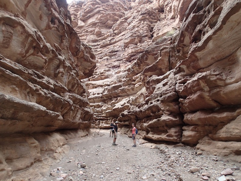
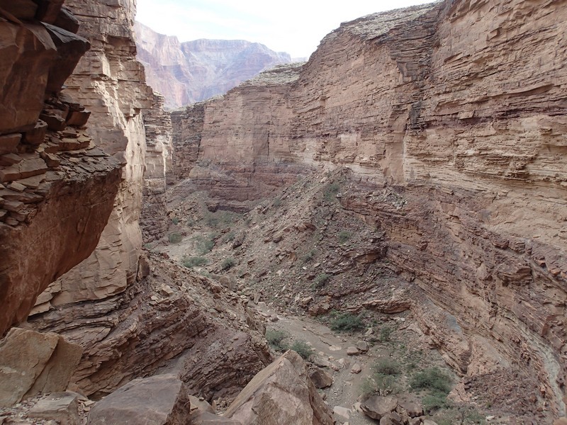
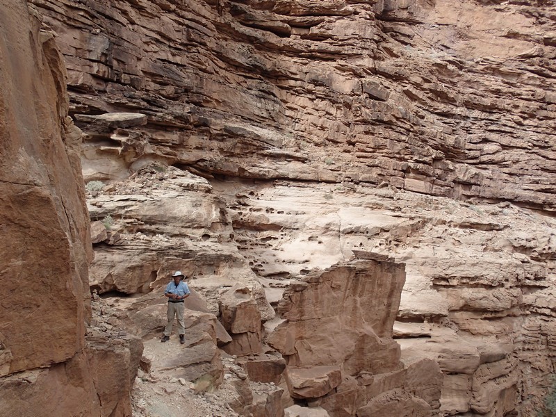
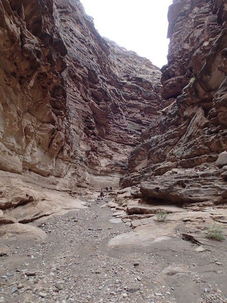
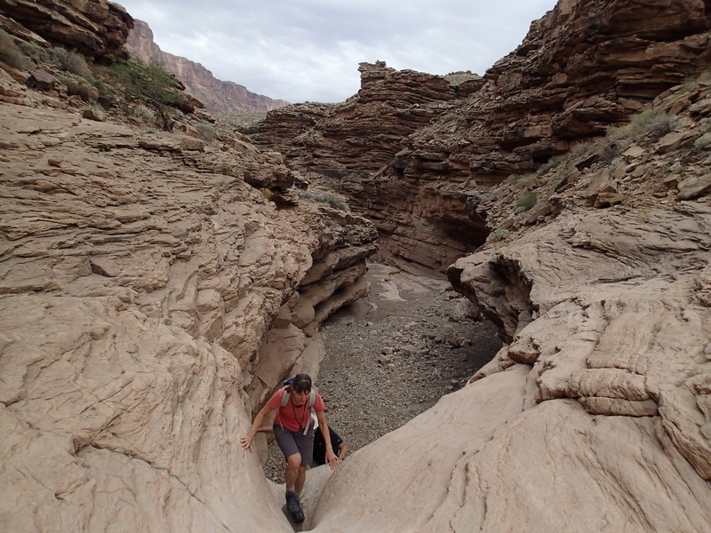
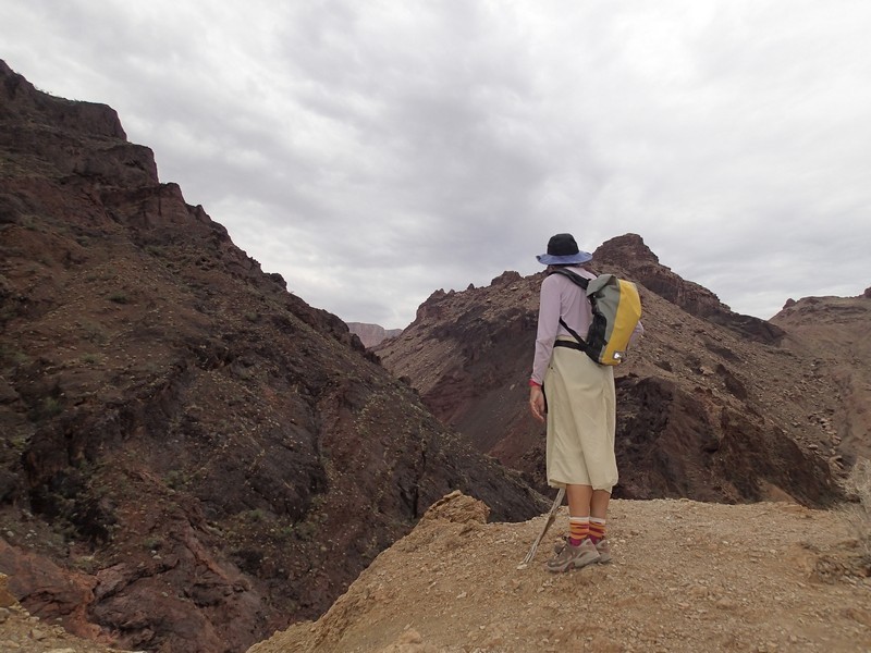
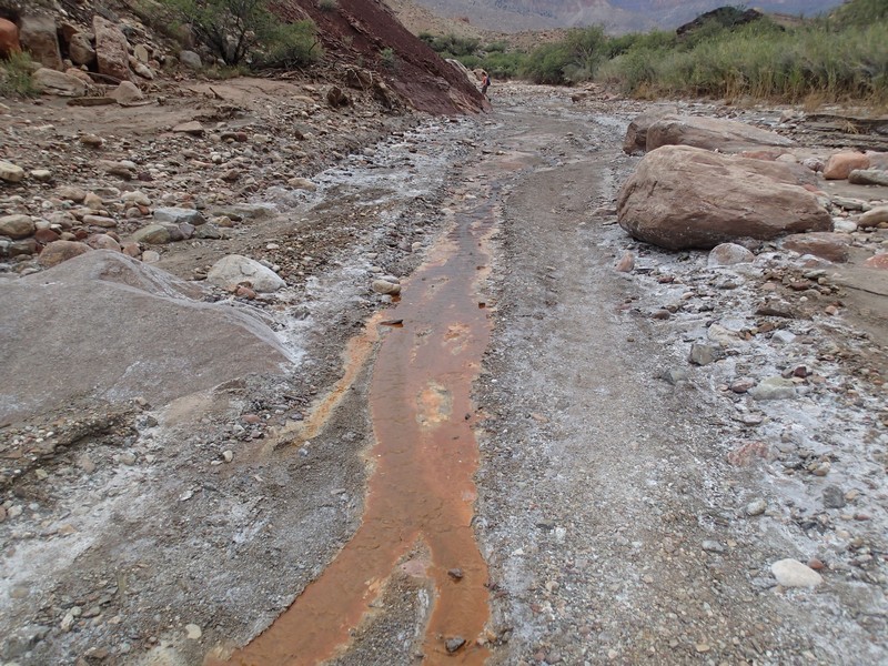
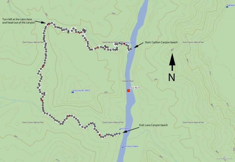
If you plan well, there’s a unique hike you can do that involves a boat shuttle, starting at Carbon canyon (river mile 64.5) and ending at Lava canyon (river mile 65.5). The idea is that the hiking group is dropped off at Carbon Canyon and the boating group floats the boats down to the beach at Lava canyon to pick them up. From the beach at Carbon canyon, start hiking up the canyon. There are some large pour overs to navigate around, so follow the cairns. This is a popular hike, so the trail is decently marked. The first big pour over is ¼ miles in and is bypassed up the rock slide to the left. After you pass the pour over, look straight ahead of you for the cairns that mark the path back down to the canyon floor. This starts a section of really stunning narrows and is really scenic. All too soon, the narrows end and the canyon opens up to a wide valley. Continue walking up the canyon floor and keep an eye out to your left for a cairned trail that heads out of Carbon canyon. This trail also gets a good bit of use, so it is relatively easy to follow, but takes some route finding to stay on track. This trail drops into Lava (sometimes called Chuar) canyon. Turn left here and walk down canyon. To me, this canyon wasn’t nearly as scenic as Carbon, but it did have some interesting minerals that created some pretty colors in the water, very reminiscent of sections of Yellowstone National Park. It’s an easy walk down canyon to the beach at mile 65.5 and to your waiting boats.
