
- Hikes in Arizona
- Grand Canyon / Marble Canyon
- Buck Farm Canyon
Buck Farm Canyon
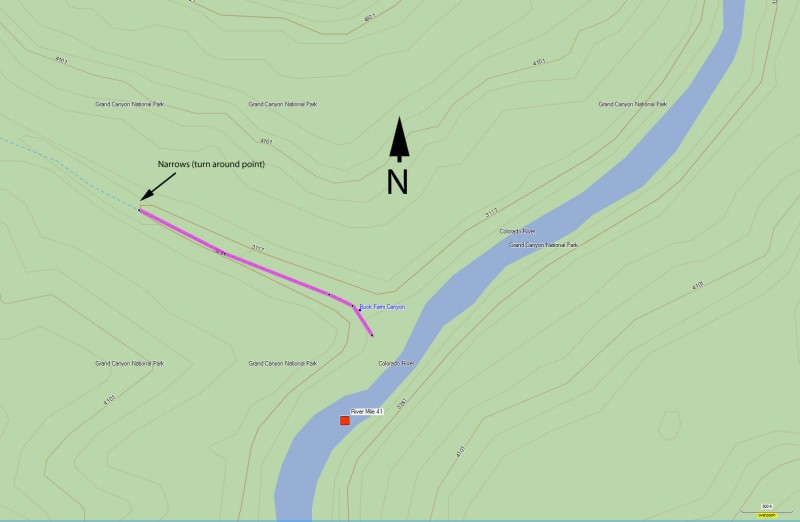
Location
Hike details
Season
- April
- May
- September
- October
- January
- December
Solitude
Difficulty
Permits
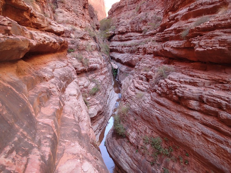
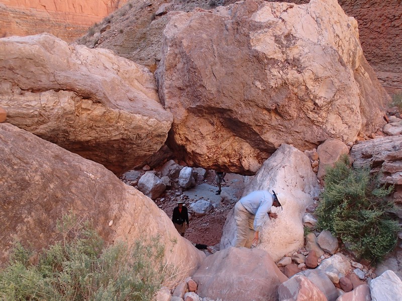
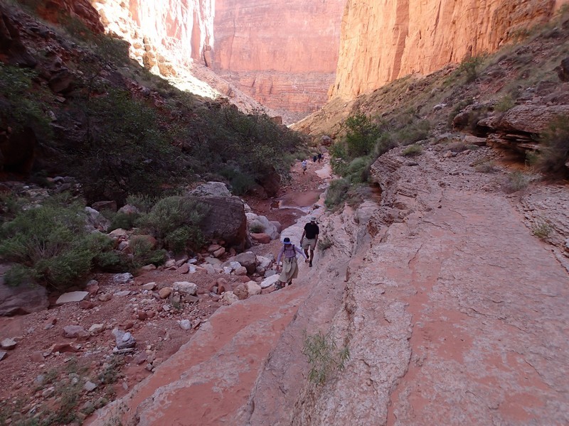
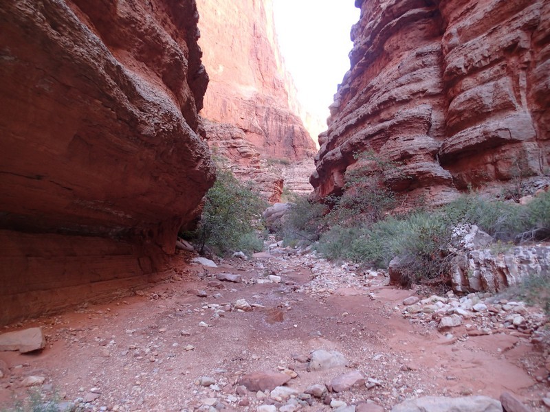
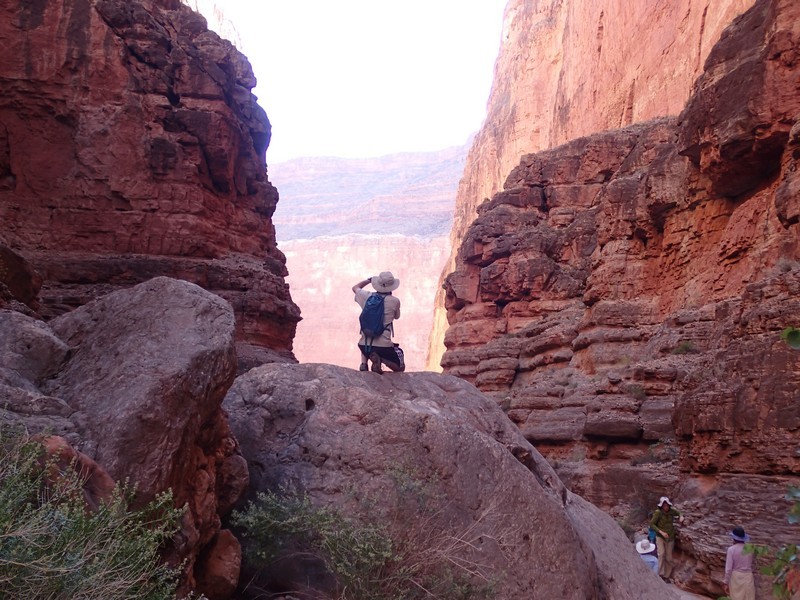
Hike up Buck Farm canyon in Grand Canyon National park, Arizona.
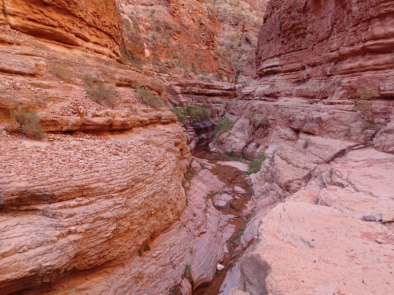
Buck Farm Canyon is at river mile 41 on river right and is a popular stop for river parties. Once you start hiking up canyon, it’s easy to see why. Hiking narrow canyons along perennial creeks is rare enough in the desert, but more frequent in Grand Canyon. There is some minor scrambling through some boulders at the beginning of this hike. After that, the hiking is easy (with some minor scrambling) for the first 0.3 miles as the canyon narrows. Here your progress is restricted to either swimming up the creek or taking an exposed set of ledges above the creek. We decided to backtrack here. If you do continue, you can hike a total of 1 mile from the river before you’ll get to a dead end.
