
- Hikes in Arizona
- Prescott Area
- Smith Ravine trail
Smith Ravine trail
Location
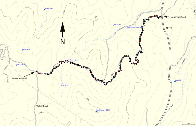
To get to the trail head: from the Phoenix area, take I-17 North toward Flagstaff. At Cordes Junction, take HWY-69 towards Prescott. Just after leaving Prescott Valley, you'll turn left onto Walker Road (near the Costco). Take this paved road 5.0 miles (past Lynx lake on your left) to the signed trailhead and parking area on your right (and right across from signed Bannie Mine Road).
Hike details
- Water
- Wild Animals
Season
- May
- June
- August
- January
- February
- December
Solitude
Difficulty
Permits
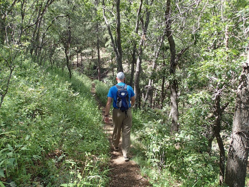
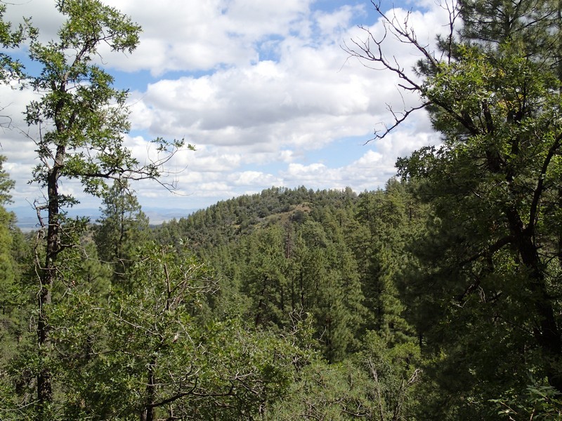
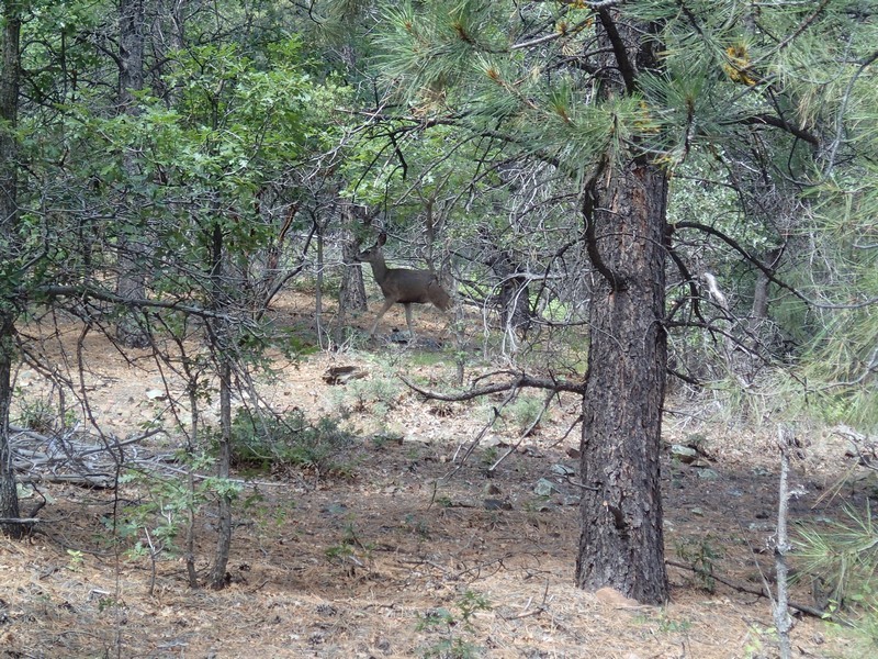
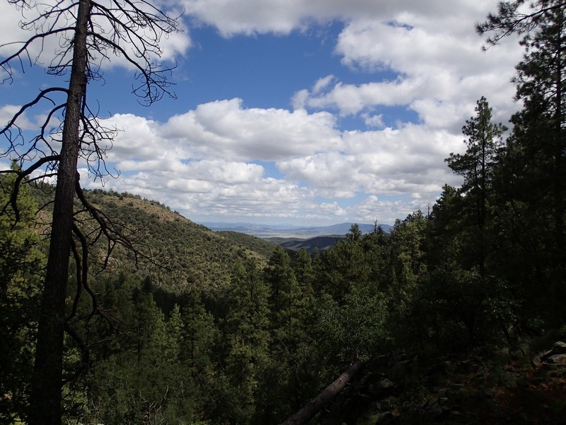
Hike along the Smith Ravine trail near Prescott, Arizona.
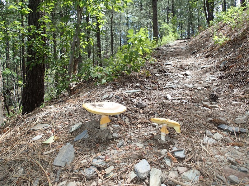
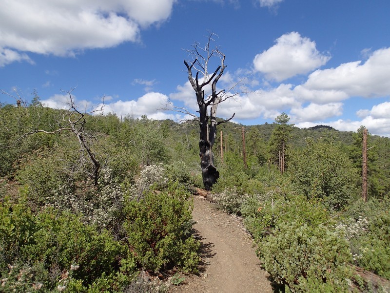
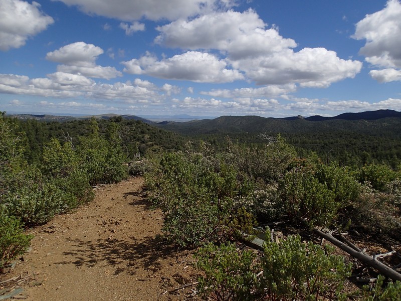
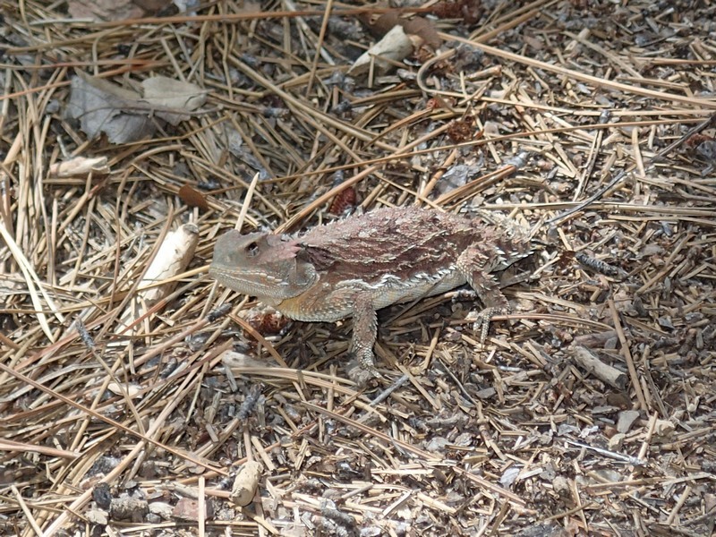
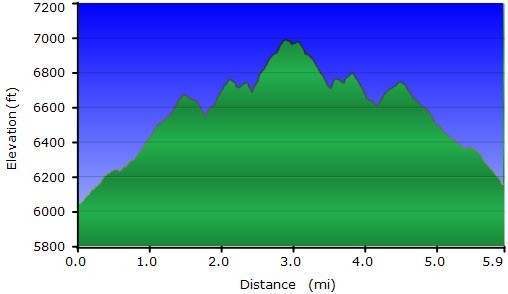
From the well signed trailhead, start the gentle climb on the well worn dirt trail that eventually ends up at FR52A. The first 20 minutes of hiking is in a burned section of the forest, so there isn't any shade here, but as a bonus, the views of the surrounding area are unobstructed and scenic. The bees tend to like the flowers in the brush here too. Soon enough, you'll reach the protective shade of the pine (and every once in a while, spruce) forest. The trail crosses over Smith Ravine Spring, which has a little seep of water. Interestingly, there were two other running creeks along this hike, likely seasonal. The real draw on this hike is the solitude and the forest. We surprised a few deer, marveled in the abundance of mushrooms, and gently stepped over the horned toads as we walked. After 3.0 miles of hiking, you'll reach the easy identified dirt road that marks FR52A and the turn around point. There are a few nice rocks here for sitting and lunch. When ready, head back the way you came.
