
- Hikes in Arizona
- Northern Arizona
- Slate Mountain
Slate Mountain
Location
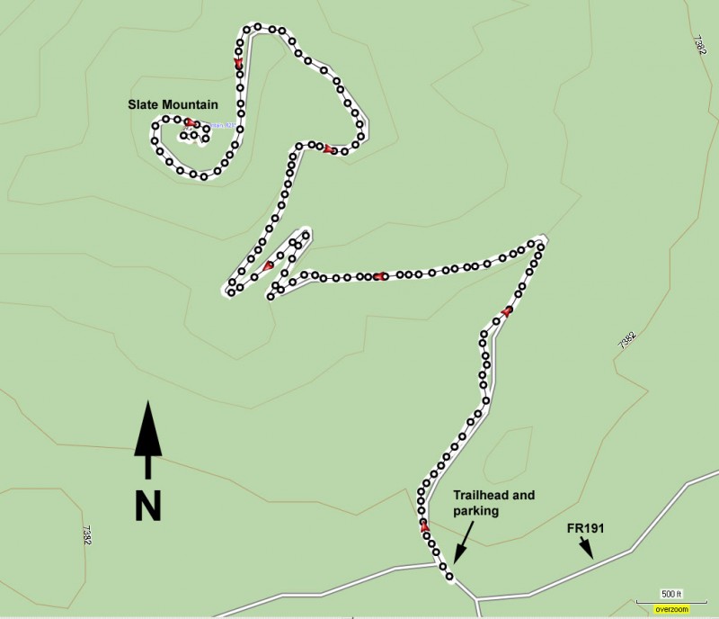
To the Trailhead start: From the Flagstaff area, take HWY 180 towards the south rim of the Grand Canyon. About 27 miles from Flagstaff city center, look for mile marker 242. After passing this mile marker, drive another 0.4 miles and look for the sign for the Slate Mountain trail and FR191 on your left. Turn here and drive 1.9 miles on FR191 to get to the signed trailhead and parking on your right. This dirt road was rocky when I took it, so a high clearance vehicle would make it easier to drive.
Hike details
Season
- August
- September
- October
Solitude
Difficulty
Permits
Hike up Slate Mountain near Flagstaff, Arizona.
There used to be a fire lookout at the top of Slate Mountain. This lookout was removed and the road leading to it has been reclaimed by the forest, with only a trail to the top remaining. This is a great result for hikers like us.
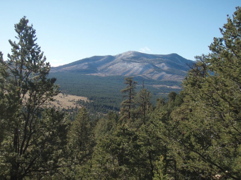
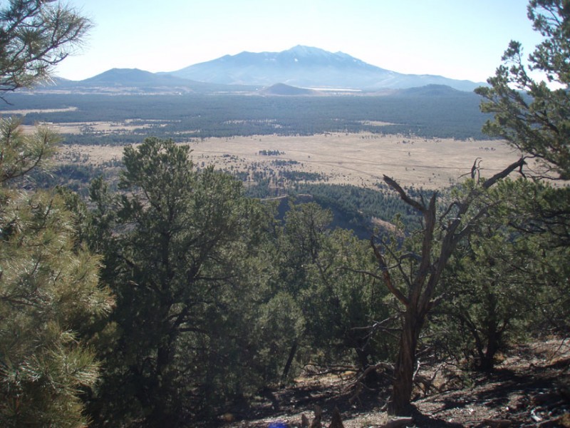
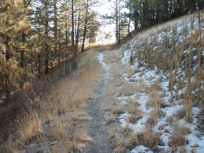
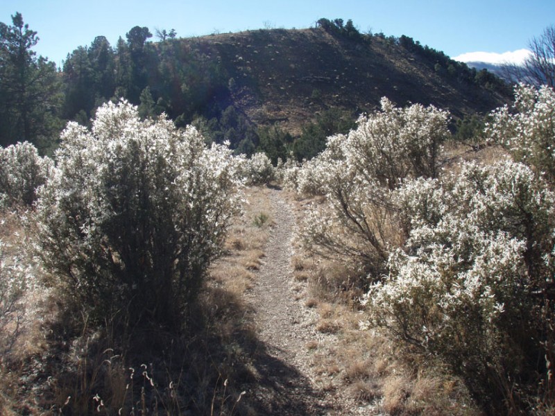
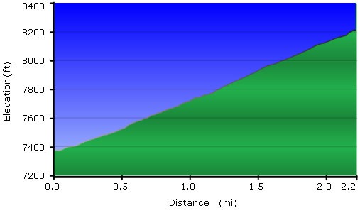
From the parking area, follow the signed trail to Slate Mountain trail. The trail is easy to follow throughout its length. Another nice thing about this trail is that the forest is relatively thin here, so the views are mostly unobstructed. As you climb, you'll be treated to increasingly impressive views of the San Francisco peaks and Kendrick Mountain. Once you reach the top, you'll see why this was a good spot for a fire lookout, as your reward is an abundance of views. I tried to find any evidence of the fire lookout, but I was unable. They either did a really good job removing it or I didn't do as good a job searching for it as I thought.
When ready, return the way you came.
