
- Hikes in Arizona
- Phoenix Area and Central Arizona
- East Wing Mountain
East Wing Mountain
Location
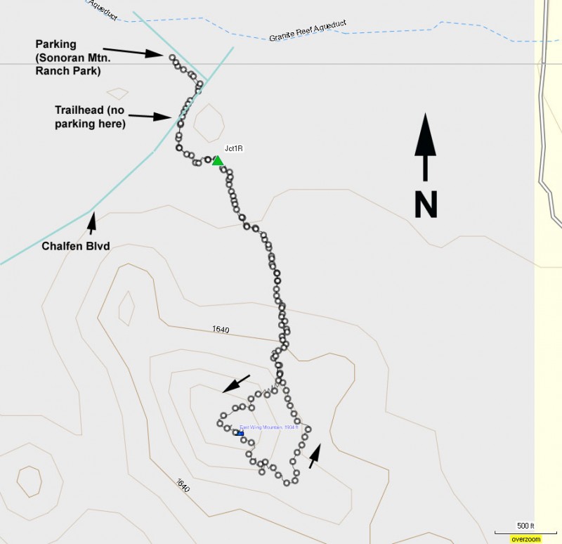
To get to the trailhead: from the Phoenix area, take I-17 North to the HWY-101 loop. Take the HWY-101 loop West to the 67th avenue exit. Go right (North) on 67th Avenue. Although you don't turn off this road for some time, it will change it's name twice, first to Pyramid Peak Parkway, then after about 6 miles of driving, Sonoran Mountain Ranch Road. After the last name change, drive another 0.4 miles to the signed junction with North Chalfen Blvd. Turn left here and make the quick right at the sign for the Sonoran Mountain Ranch park. This is where you will park to take the short walk to the trailhead. There are restrooms and water at this park.
Hike details
Season
- January
- February
- March
- April
- November
- December
Solitude
Difficulty
Permits
Hike East wing mountain near Phoenix, Arizona.
We were looking for a quick, easy, and local desert hike in the Phoenix area. This hike met all of our criteria and it was an enjoyable hike as well.
From the trailhead parking at Sonoran Mountain Ranch, walk along Chalfen Street towards the gated community. The trailhead is easily spotted on your left just before the gated community. Please do not park along Chalfen street to access this hike as to respect the needs of the homeowners of this area.
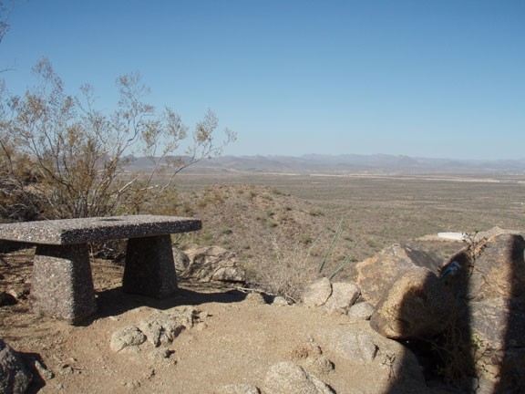
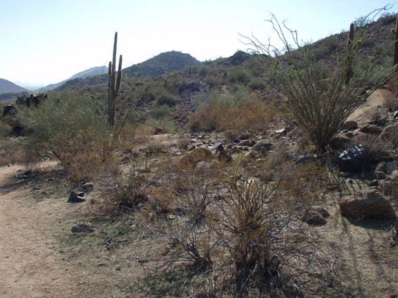
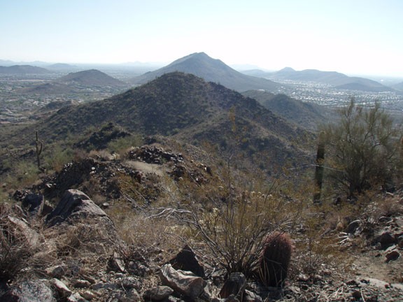
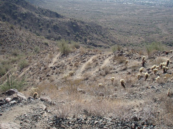
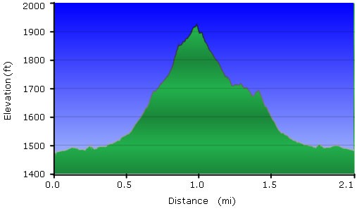
The trail is easy to follow throughout. Junctions are signed and the loop leaves little chance of getting lost. We will be following the directions for what the Town of Peoria calls the "Intermediate - More difficult trail" but it's just over 2 miles and less than 500 ft of climbing for the loop. The trail starts in a housing development but soon leaves this behind and climbs up to ever more impressive views of the surrounding area. You'll stay right at the first junction (Jct 1R on the map) and again right at the next junction to take the switchbacks up the mountain. Once at the top you'll be treated to views of the area. Continue to the other side of the mountain peak down the switchbacks, looping towards the houses and back to the trailhead.
Even though the surrounding views are a mixture of mountains and fancy houses, it's still an enjoyable view and worth the effort.
