
- Hikes in Arizona
- Grand Canyon / Marble Canyon
- Cape Final
Cape Final
Updated
Location
How to Get There
This hike is located at the North Rim of Grand Canyon National Park.
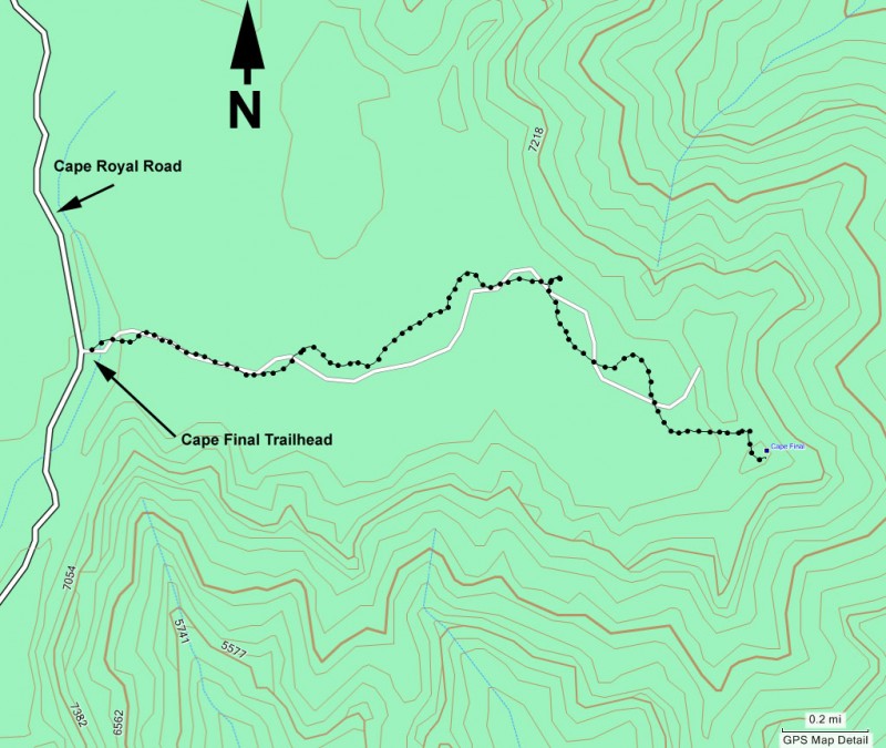
From Jacob Lake, take US Highway 67 South towards the North rim of Grand Canyon National park. Once in the park, drive 9.5 miles to the signed junction with the Cape Royal road and Point Imperial and turn left (East). Drive 5.4 miles to the signed junction and turn right onto Cape Royal Road. Drive 11.8 miles and park at the signed trailhead on your left. There is a restroom at the trailhead, but no water.
From Jacob Lake, take US Highway 67 South towards the North rim of Grand Canyon National park. Once in the park, drive 9.5 miles to the signed junction with the Cape Royal road and Point Imperial and turn left (East). Drive 5.4 miles to the signed junction and turn right onto Cape Royal Road. Drive 11.8 miles and park at the signed trailhead on your left. There is a restroom at the trailhead, but no water.
addressone
Cape Royal Rd.
state
AZ
country
USA
Region
Grand Canyon and Marble Canyon area
Hike details
Distance
4.40 [Miles] Total
Hike Distance- Details
4.4 miles round trip to the lookout and back.
Time
2.00 [Hours]
Time-details
It took us two hours of hiking.
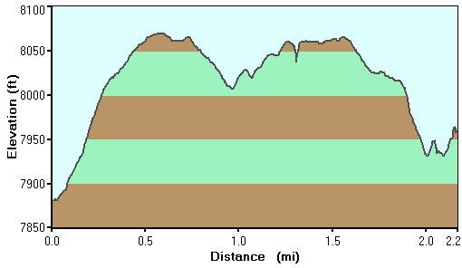
Elevation Change
0 Total gain/loss [Feet]
Elevation Details
Not much at all
Hike Trail Type
Out and Back
Season
Best Season
- June
- July
- August
Worst Season
- January
- February
- October
- November
- December
Season Details
Summer
Date Hike completed
July 06, 2011
Solitude
Solitude
Medium
Solitude Details
Expect to share the trail with around 10 other people.
Difficulty
difficulty detail
Be Aware of: $25 to enter the park (as of July 2011).
30 yr old Recommendation: It's a remarkably short hike for such an impressive reward, with great views of the Grand Canyon. This is an Easy hike. Since you'll still have energy after this short hike, it's best to hike some of the other hikes in the area, such as Cape Royal and Cliff Spring.
30 yr old Recommendation: It's a remarkably short hike for such an impressive reward, with great views of the Grand Canyon. This is an Easy hike. Since you'll still have energy after this short hike, it's best to hike some of the other hikes in the area, such as Cape Royal and Cliff Spring.
Permits
Be Aware of
$25 to enter the park
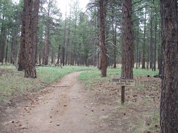
Hike to Cape Final in Grand Canyon national park, Arizona.
This is an easy hike through the lovely north rim pine forest to one of the best lookout points on the North Rim. From the parking area, walk along the easy to follow trail through the ponderosa pine and aspen forest. After 2.2 miles of walking you'll reach the viewpoint.
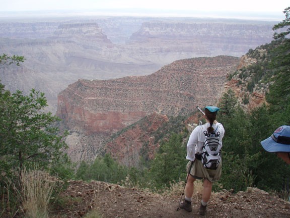
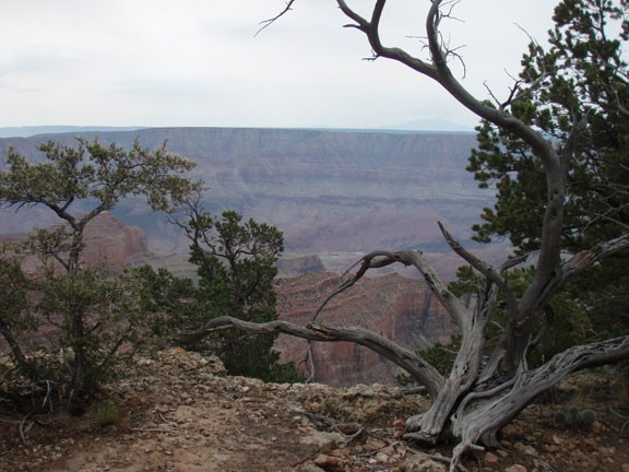
The point extends out into the canyon, so the views here are particularly impressive. You'll be able to see Furnace flats, the Tanner trail, the Little Colorado river gorge, Vishnu Temple, and Chuar Butte from this wide open viewpoint. There is a campsite here, but you need a backcountry permit to camp. After enjoying the views, return the way you came.
