
- Hikes in Arizona
- Superstition and Mazatzal Wilderness
- Javelina Mine Trail
Javelina Mine Trail
Location
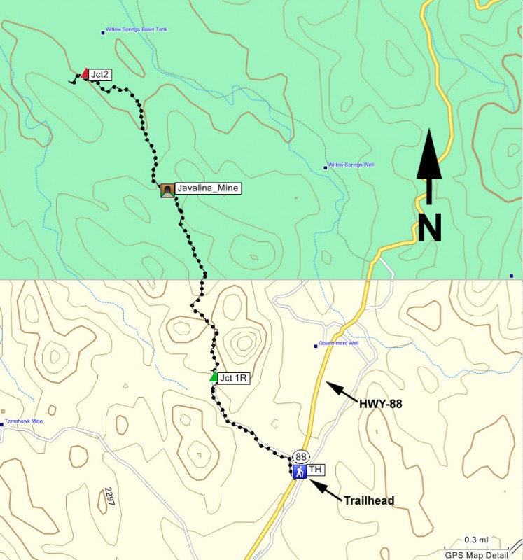
From the Phoenix area, take US-60 East and turn North onto HWY-88 (the Idaho Road Exit). After passing the turnoff to Lost Dutchman State Park (on your right) go an additional 1.7 miles to an unsigned road on your left. Park either along HWY-88 or along the dirt road. This dirt road is between mile marker 202 and 203 (but closer to 203).
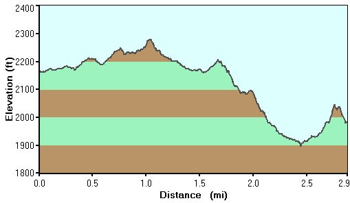
Hike details
Season
- January
- February
- March
- April
- October
- November
- December
Solitude
Difficulty
Permits
Hike the Javalina mine trail in the Superstition Wilderness, Arizona.
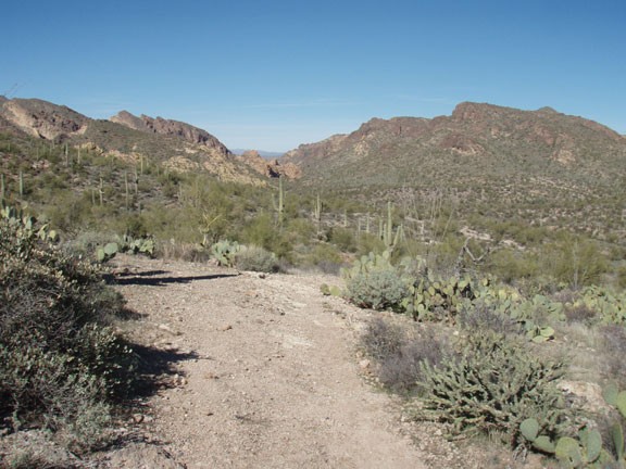
The start of the hike is along an unsigned dirt road off of HWY-88. Walk along the easy to follow dirt road through the Sonoran desert. Unfortunately, the proximity of this desert to civilization has brought a significant amount of litter. The litter is in the form of mostly used shotgun shells and the targets of those same shotguns. Luckily, you'll leave the reminders of civilization behind relatively quickly.
After about 0.6 miles of hiking on this road, you'll reach a hard to spot trail junction. Luckily (although unsightly) there is a shot up abandoned wreck of a vehicle on the left side of the dirt road. Directly across from this derelict on your right is the small trail you want (marked Jct 1R on the map). The trail is not easy to spot, but once you get on it, it is easy to follow. If you continue walking on the dirt road to the remained foundations of an old house, you've gone too far.
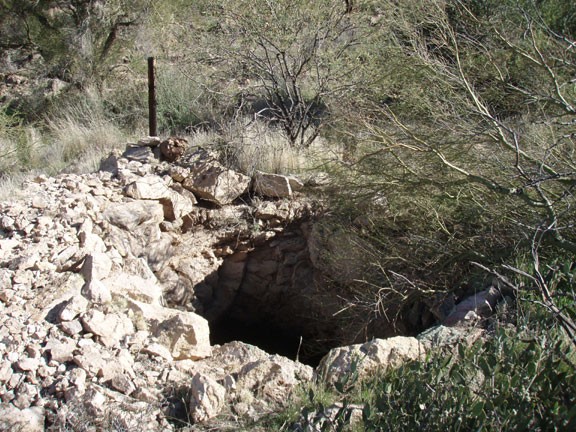
From the now smaller single track trail, the desert feels much more welcoming and you can enjoy the solitude of the Goldfield mountains. The trail is easy to follow all the way to the Javelina mine, which is found after 1.6 miles of hiking. The mine is on your right and is a small hole in the ground... not very impressive. However, what is impressive are the unobstructed views of the desert without any civilization in site.
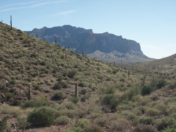
Continuing along the trail, it crosses a wash. On the other side of the wash is a split in the trail. Turn left here and continue through the desert. Eventually you'll reach another dirt road, which is the turn around point for this hike.
When ready, return the way you came.
