
- Hikes in Arizona
- Phoenix Area and Central Arizona
- Go John Trail
Go John Trail
Location
To get to the trailhead: from the Phoenix/Mesa area, take HWY-101 North to the Cave Creek Road exit. Take Cave Creek Road North to the Carefree Highway, turning left (West) on to the Carefree Highway. After about 2.8 miles, turn right (North) onto 32nd Street (clearly signed for the Cave Creek Recreation area). After about 2.7 miles, you will reach the parking area for the Go John trail. There are restrooms and water at the trailhead. As of April, 2009, there is a $6 fee to enter the park area.
Hike details
Season
- January
- February
- March
- April
- October
- November
- December
Solitude
Difficulty
Permits
Hike the Go John trail near Phoenix, Arizona.
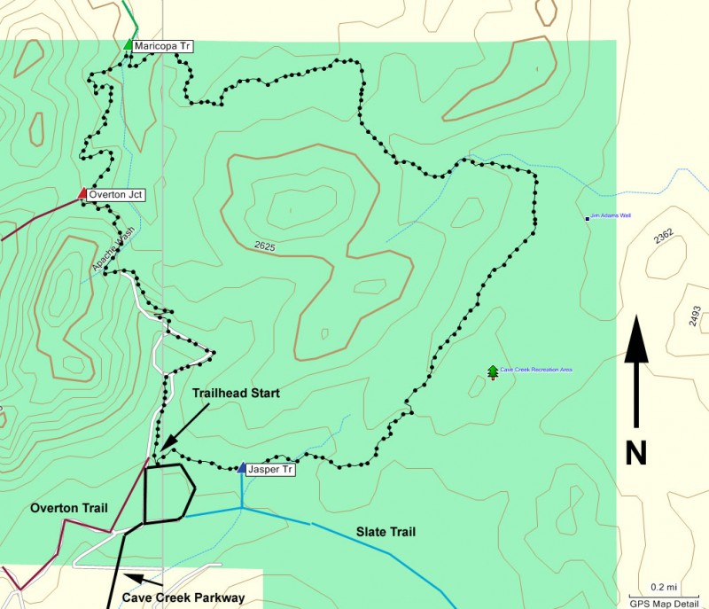
From the parking area, you can take this trail in either the clockwise or counter-clockwise direction. We hiked this in the clockwise direction, which means we started from the signed trail junction on the North side of the parking lot.
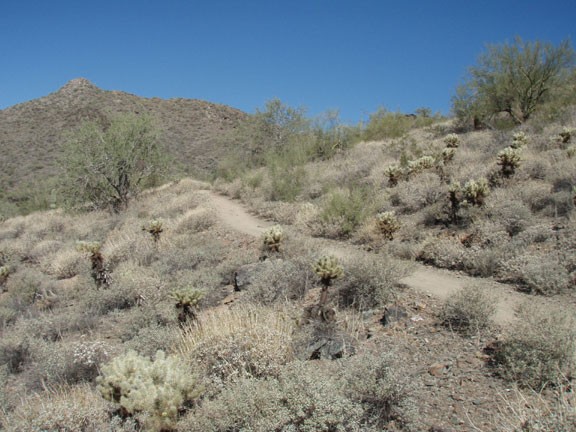
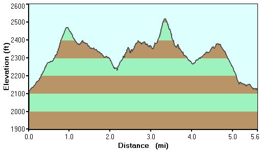
This trail starts out as a wide dirt road and is easy to follow throughout, as trail junctions are signed and helpful arrows point out the correct trail in potentially confusing areas. You'll start out with a gentle climb of about 400 feet in 1.3 miles to a saddle that provides good views of the Cave Creek Regional park to the North and Cave Creek to the South. Stay right here at the signed trail junction with the Overton Trail to stay on the Go John trail.
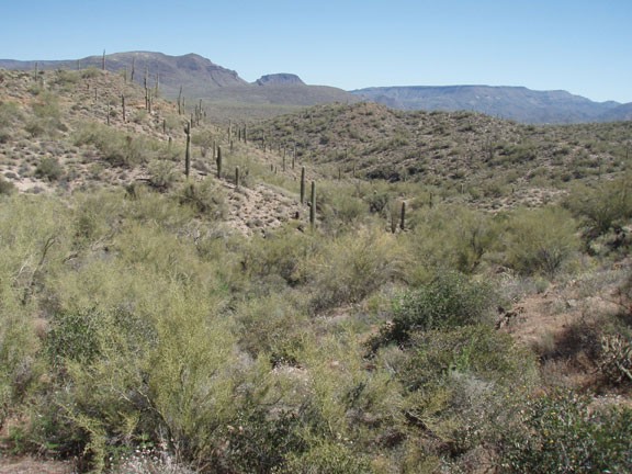
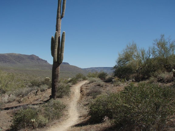
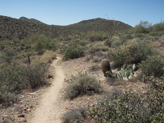
This section of the trail feels the most remote, as you've left civilization behind are are exposed to open views of the Sonoran desert. All of your favorite Sonoran cacti are here: Saguaro, barrel, and Cholla. After 0.9 miles of hiking from the saddle, you'll reach a trail junction with the Maricopa trail heading North. Stay right again as the Go John trail heads generally East.
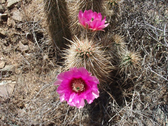
Soon you'll start to see signs of civilization again as the trail bends South-West. We noticed this section of the trail contained the majority of wildflowers. The trail ends back at the East side parking area.
