
EJ Peak
Location
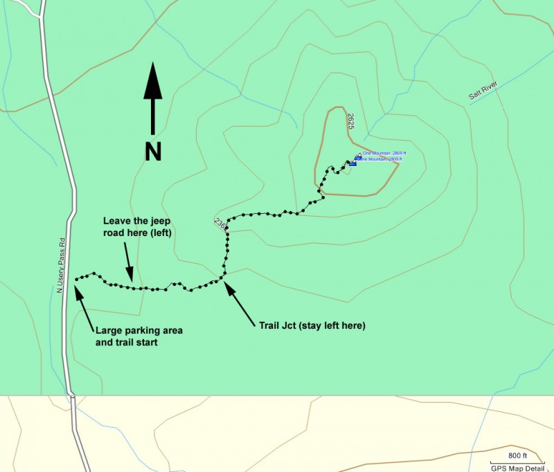
From the Phoenix area, take US-60 East to the Ellsworth Road Exit. Go North on Ellsworth Road. After passing McKellips Road, Ellsworth Road turns into Usery Pass Road. Follow this road about two miles to the signed entrance of the Usery Mountain Recreation Area. Zero your odometer and drive another 1.6 miles to the large parking area on your right. You'll know you're at the right parking area if there is a sign saying that this is the Bull Dog Canyon Recreation area. You will need a Tonto pass to park here.
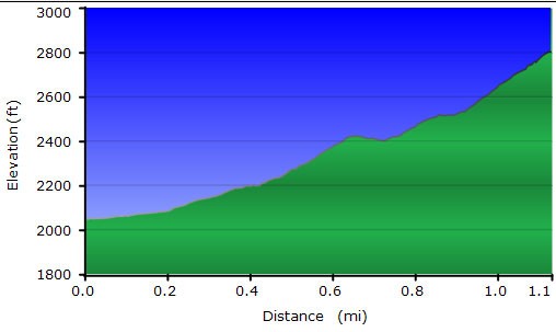
Hike details
Season
- January
- February
- March
- April
- October
- November
- December
- July
- August
Solitude
Difficulty
Permits
Hike up EJ peak near Phoenix, Arizona.
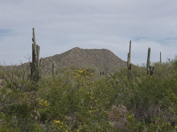
Pass mountain is a well known hike in the Usary mountain recreation area. On any given weekend, you can be guaranteed to be sharing the Wind Cave trail with dozens of other Arizonans looking to enjoy this beautiful desert area. However, if you would like a similar hike and view without the crowds, the hike to the top of EJ peak (also listed on topographic maps as "One Mountain" and "Lone Mountain") is an excellent option. EJ peak is the next mountain to the North of Pass mountain.
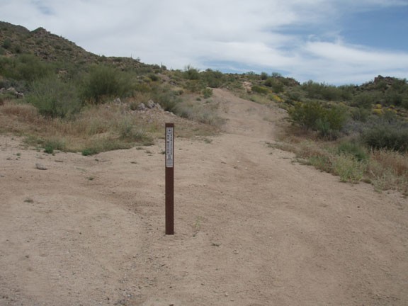
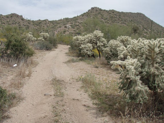
From the parking area (make sure you have a Tonto pass!), head East along the dirt jeep road. Although the area is closed to vehicular traffic from this parking area, there must be other access areas for ATVs so you may have to share the road with them for the first 0.1 miles. The other problem with this area is it is only about a mile away from an outdoor shooting range, so you may hear the "pop-pop" of firearms in the distance.
About 0.1 miles from the trail start, you'll leave the jeep trail to take another dirt jeep trail to your left. This trail is marked by a small 'no vehicles' sign. Head along this jeep road as it narrows into a normal trail. After about 0.4 miles from the parking area, the trail splits. Turn left (trail junction shown on the map) here and start the climb up to EJ peak.
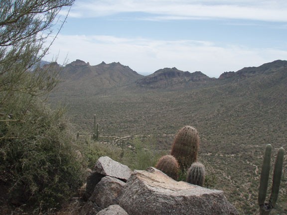
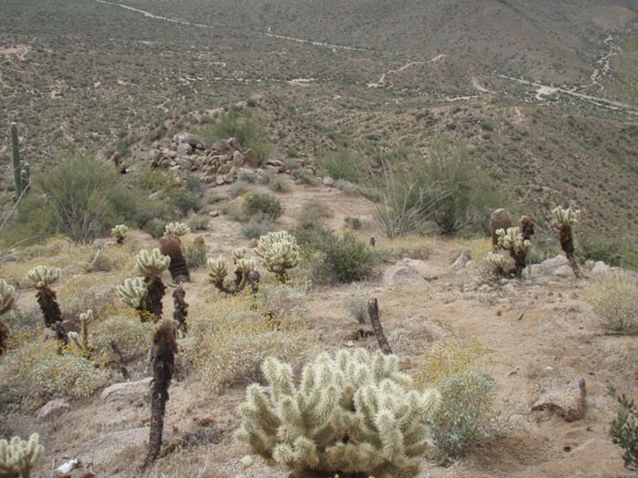
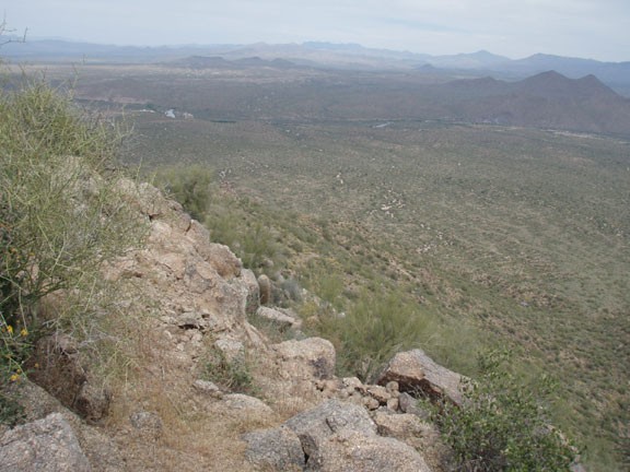
Besides the enjoyment of this preserved desert area, you'll also appreciate increasingly impressive views of Pass mountain, Red mountain, and Fountain hills. After reaching the peak, you'll be treated to views of the lower Salt River, Saguaro Lake, and the Four peaks. The top is an excellent place for a snack, with plenty of places to sit and enjoy the views.
When ready, return the way you came.
