
- Hikes in Arizona
- Sedona
- Steamboat Rock and Wilson Canyon
Steamboat Rock and Wilson Canyon
Location
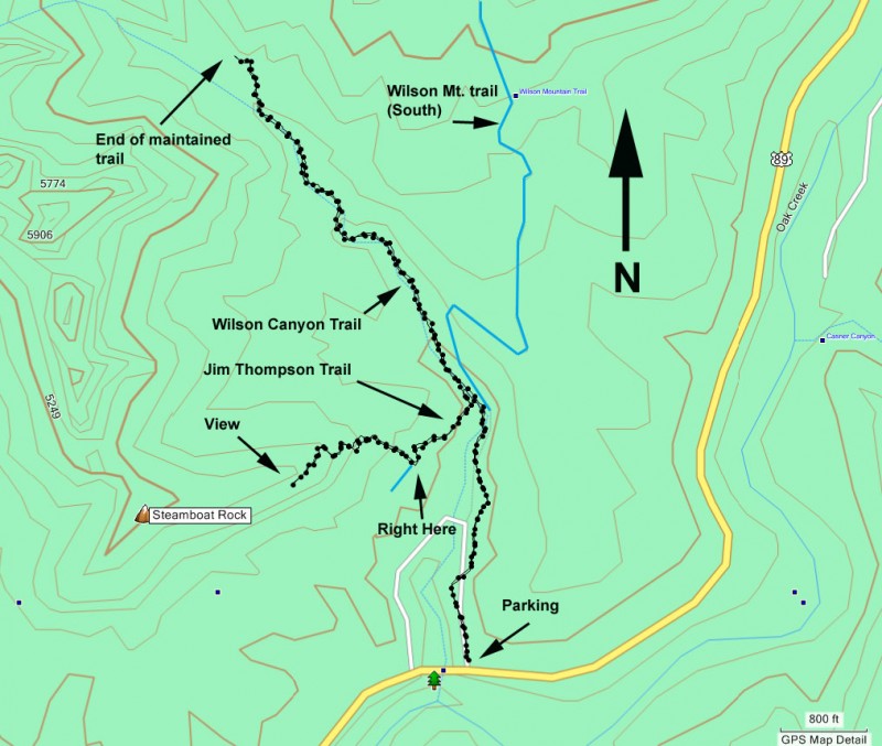
To get to the trailhead: from the Phoenix area, take I-17 North toward Flagstaff. Just after Verde Junction, take HWY-179 west towards Sedona. Once in Sedona, take HWY-89A North. After about a mile, you'll cross the signed Midgley Bridge. Park on the opposite side of the bridge on the left. Parking can be tough here, however many people stop briefly for the view of Oak Creek canyon, so if you wait a bit a spot may open up. Make sure you have a Red Rock Pass to park ($5 per car as of March 2009).
Hike details
Season
- March
- April
- May
- October
- November
Solitude
Difficulty
Permits
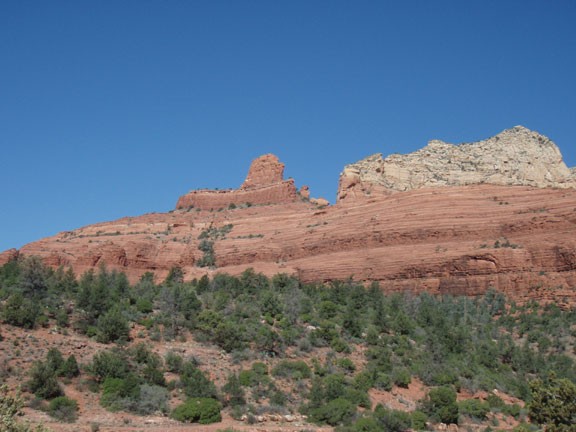
Hike up Steamboat rock and Wilson Canyon, Sedona, Oak Creek canyon, Arizona.
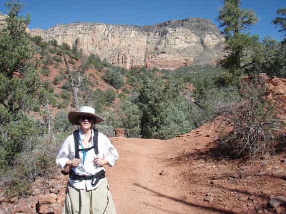
Wilson Canyon is a relaxing stroll up one of the numerous canyons feeding into Oak Creek. The trail up Wilson Canyon is easy to follow. From the parking area, you'll simply walk away from the busy HWY-89A and head quickly into quiet solitude. Many of the people parking at Midgley bridge are only there for a few minutes to snap a picture and scurry back into their vehicles. By continuing up this trail, you'll quickly leave them behind.
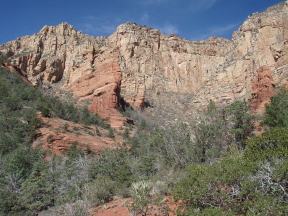
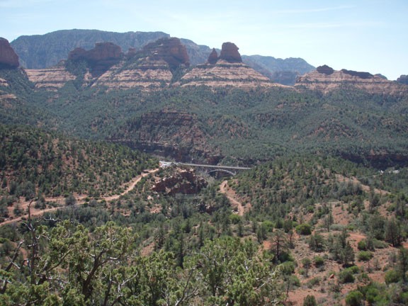
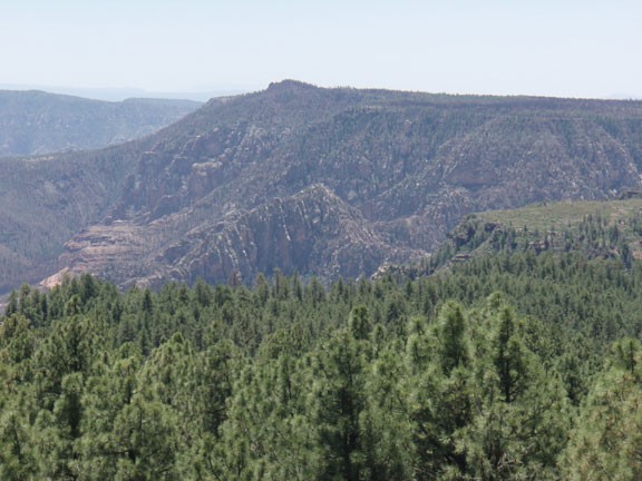
This trail is well signed and at the junction with the Wilson Mountain trail (South), stay left. After about a half mile of hiking, you'll reach the signed junction with the Jim Thompson trail heading off to your left. For now, continue straight along the Wilson canyon trail. In total, the Wilson Canyon trail goes about 1.5 miles before the trail ends. During most of this stretch, you'll be walking up a normally dry wash, crossing it several times. The forest here provides some shade and the canyon walls overhead provide interesting scenery. Towards the end, the trail rises steeply and if you turn around you're greeted with an impressive view of Wilson Canyon as you look back towards Oak Creek.
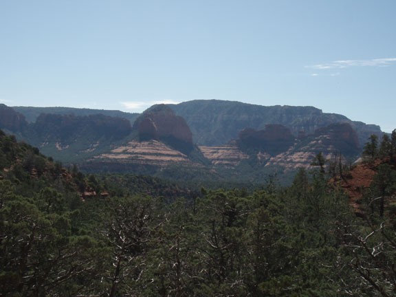
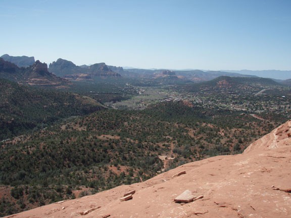
After returning back the same way, turn onto the previously mentioned Jim Thompson trail. This trail gains elevation quickly and you'll enjoy some extended views of Midgley Bridge. However, better views are to come. About 0.3 miles from the trail junction is a smaller trail spur going to your right, heading up Steamboat Rock. Take this trail and follow the cairns as you scramble up Steamboat Rock. The scrambling is not too bad and the lack of exposure makes it less scary. Your effort will be well rewarded as you emerge on to Steamboat Rock and the excellent views up Oak Creek canyon and back overlooking Sedona.
After enjoying the views, return the same way back to the Midgely Bridge parking area.
