
- Hikes in Arizona
- Phoenix Area and Central Arizona
- Garfias Wash
Garfias Wash
Location
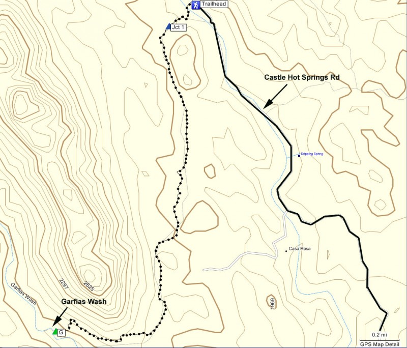
To get to the trailhead: from the Phoenix area, take the Carefree highway (SR-74) West to Castle Hot Springs Road (Lake Pleasant exit). Turn right and drive 10.9 miles to the trailhead. This road eventually becomes a well graded dirt road. The last mile is in a wash, which is OK if there is no recent rain. Passenger cars are probably OK on this road. At 10.9 miles, you will pass over a cattle guard. The small pullout for parking is immediately on your left. Castle Hot Springs road is a popular place for ATVs and dirt bikes, so keep vigilant while driving here.
Hike details
Season
- January
- February
- March
- April
- October
- November
- December
- July
- August
Solitude
Difficulty
Permits
Hike the Garfias wash trail near Lake Pleasant, Arizona.
One of the many things I enjoy about hiking in Arizona is that even the most average sounding hike can still hold surprises. This hike fit that description well...
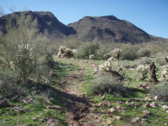
From the small pullout, there is a brown hike marker continuing along Castle Hot Springs Road for about 50 yards. If you look at the dry wash, you'll see two huge cairns in the wash. Head to the cairns to the signed start of the trail on the opposite side of the wash.
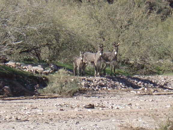
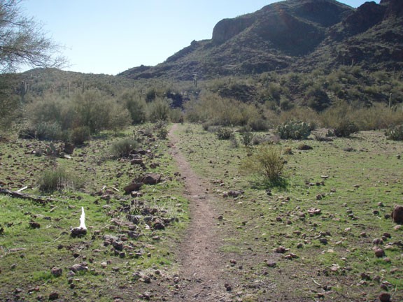
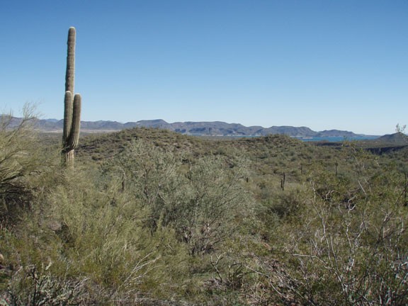
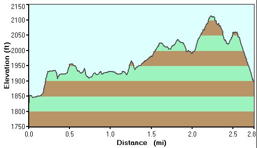
After signing in at the trail register, start walking along the easy to follow path into the Hells Canyon Wilderness. This hike travels through the typical sonoran desert, complete with Saguaros, Barrel cactus, Cholla cactus, and other desert vegetation. If you're lucky like we were, recent rains will add green grasses to add to the color of the area. At the first trail junction (marked as Jct 1 on the map), soon after you cross the wash and about 0.2 miles from the start, you'll stay left here. There are many large rock cairns here to enjoy and it makes it quite difficult to get lost. After 2.8 miles of hiking, the trail drops steeply into Garfias Wash, which is a nice place to stop for a break and serves as a good turn around point for this easy hike. If you are lucky enough to get the same surprise as us, be sure to wave hi to the wild burros.
If you've still got energy, explore up the Garfias Wash. Otherwise, when you're ready, return the way you came.
