
- Hikes in Arizona
- Grand Canyon / Marble Canyon
- Clear Creek (from the Colorado River)
Clear Creek (from the Colorado River)
Location
Hike details
Season
- April
- May
- September
- June
- July
- August
Solitude
Difficulty
Permits
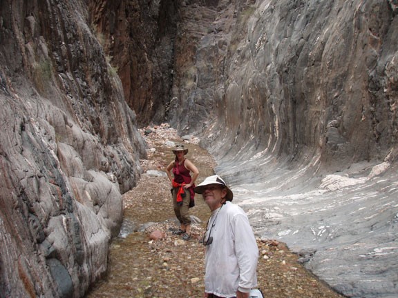
Hike along Clear creek in Grand Canyon National park, Arizona.
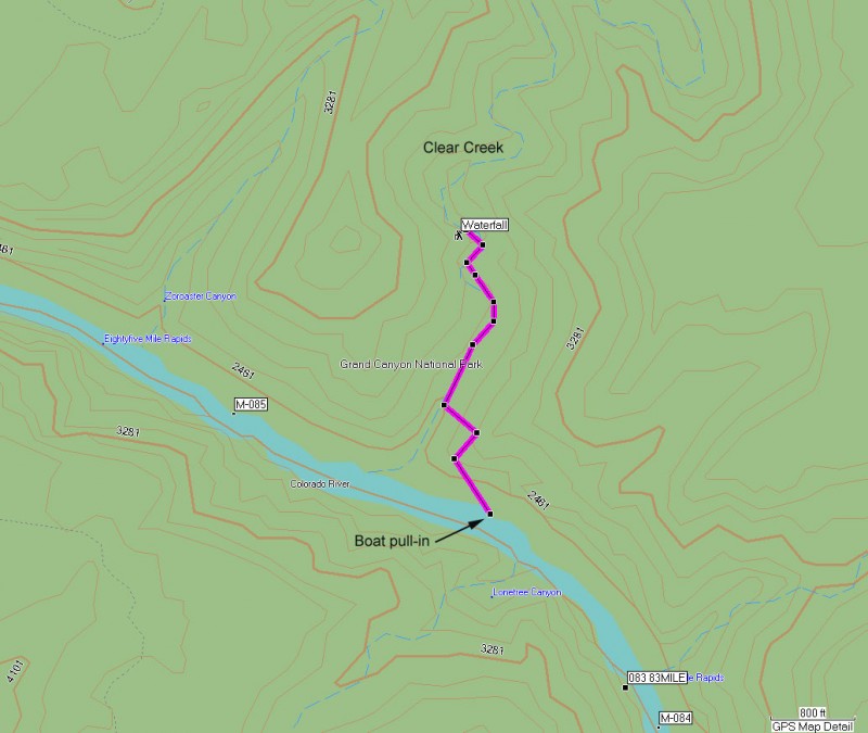
There are two Clear Creek hikes in the Grand Canyon. This is a short hike up to a lovely waterfall accessed from the Colorado river. To reach the start of the hike, you'll need to park your boats at a small beach on the right. This beach is after 83 mile rapid and just before the river turns north east. If you miss this point, there is another beach after the mouth of Clear Creek, also on river right. We accessed the hike from the first beach, so this write up will reflect this.
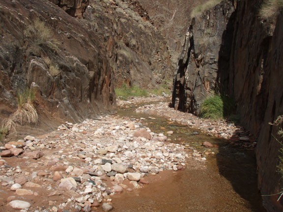
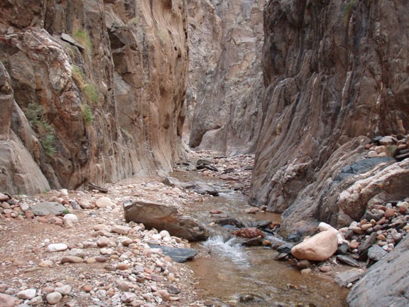
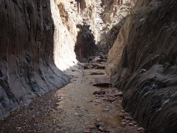
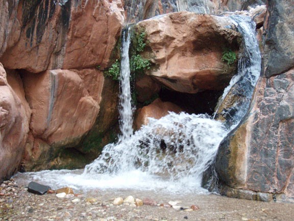
Since the mouth of Clear Creek is impossible for boats to access (unless in a kayak), we have to park at a beach and climb over the schist rock and back down into Clear Creek. The route into Clear creek can be tricky to find, so use those route finding skills and look for the evidence of the NPS efforts at trail making. You will go up and down over a few ridges during this section that will require some scrambling. Eventually, you will see a good trail heading down into clear creek. Once at the bottom of the creek, simply head upstream. You will be walking on cobblestones and soon progress will only be made by walking up the creek, so don't bother trying to keep your feet dry. The narrows make this a very scenic canyon, so enjoy the walk. After about 0.7 miles of walking, you are rewarded with a nice waterfall.
After taking a few pictures (and perhaps a bath!) return the way you came.