
- Hikes in Arizona
- Superstition and Mazatzal Wilderness
- Pine Creek Loop
Pine Creek Loop
Location
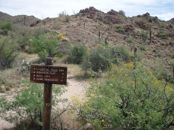
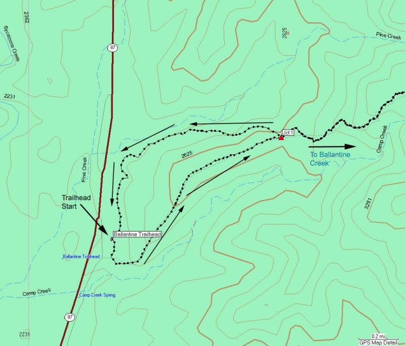
To get to the trailhead: from the Phoenix area, take HWY-87 North toward Payson. After passing Shea Road (entrance into Fountain Hills) go an additional 20 miles to the well signed Ballantine Trailhead on the right side of the road. The trailhead is right at the dirt parking area.
Hike details
- Water
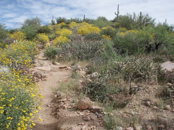
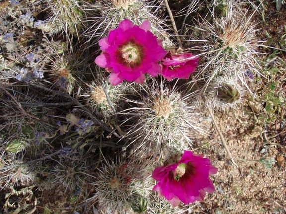
- Wild Flowers
Season
- January
- February
- March
- April
- October
- November
- December
Solitude
Difficulty
Permits
Hike the Pine creek trail loop near Phoenix, Arizona.
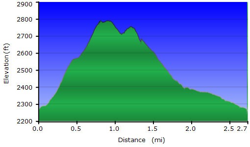
From the trailhead, there are two directions to pick from. This hike describes the Pine Creek Loop South to the Pine Creek Loop North. So you'll turn right here at the sign. From this point, the trail climbs steeply up to a hill overlooking the area. It's about 1.25 miles to the top of this hill for the views. Another 0.25 miles of hiking and a slight descent gets you to the intersection of the Ballantine trail and the Pine Creek North Loop (shown on the map as Jct 1). Turn left here to take the Pine Creek North Loop trail back to the parking area.
This section of trail is more gradual than the South trail and has better views of Pine Creek. Both sections of hike provide good views of the Sonoran Desert. A short 1.5 miles later will return you to your car.
