
- Hikes in Arizona
- Superstition and Mazatzal Wilderness
- Peralta Canyon (Freemont Saddle)
Peralta Canyon (Freemont Saddle)
Location
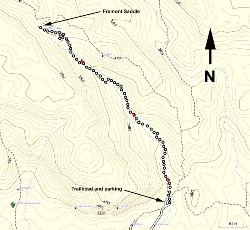
From the Phoenix area, take US-60 East, leaving the city limits. After leaving Apache Junction, continue about 8.5 miles, turning left onto signed Peralta Road (FR 77). After starting out as a paved road, this quickly turns into a well maintained dirt road. The trailhead and parking appears after 7 miles on this road. The trailhead has a restroom, but no water.
Hike details
Season
- January
- February
- March
- April
- October
- November
- December
Solitude
Difficulty
Permits
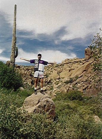
Hike up Peralta canyon to Freemont sadle in the Superstition wilderness, Arizona.
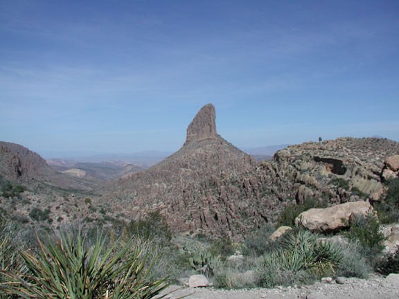
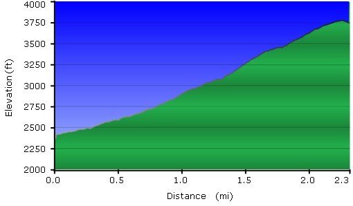
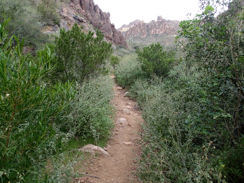
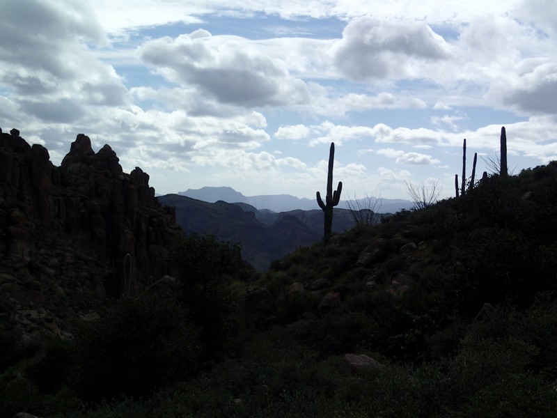
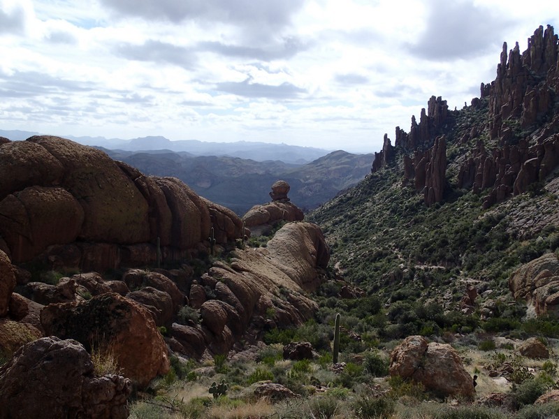
This hike features a well marked trail, wonderful Superstition Wilderness desert, and a great view of Weaver's Needle. There's several trails that start at the Peralta trailhead. Make sure you pick the trail that says "Peralta Trail" (left at the initial sign). This trail stays near the bed of Peralta Canyon, occasionally crossing the wash. As you continue your climb, you will eventually reach a saddle that marks your turn around point. You'll know it, because as you approach the saddle, the imposing Weaver's Needle comes into view. Snap a few pictures and head back.
If you liked this hike, you might want to try some of the other hikes in the Superstition Wilderness. For example, the Duchman Trail (TR104) to Dripping Springs starts here, as well as the Lost Goldmine Trail.
