
- Hikes in Arizona
- Superstition and Mazatzal Wilderness
- Brushy Spring (Campaign Creek)
Brushy Spring (Campaign Creek)

Location
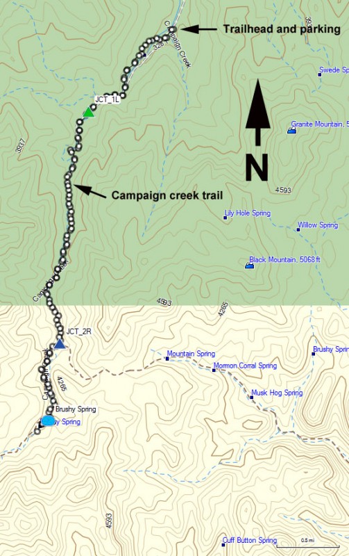
To get to the trailhead: from the Phoenix area, take US-60 East towards Globe. Just after Miami and before globe, take HWY-88 (or 188 depending on the sign) left towards Roosevelt. After 20 miles on this paved road, turn left on the graded and well signed FR449 (near mile marker 235). There is lots of private property in this area, so please respect that property and follow the signs so hiker access isn't threatened. After 1.9 miles on FR449, take a left on FR449A. High clearance and 4 wheel drive is recommended here because the road crosses the creek several times, can be quite sandy, and there are steep grades. After an additional 5.2 miles, you will reach a signed trailhead and parking area. Please follow the signs to the public parking and leave the school undisturbed.
Hike details
Season
- January
- February
- March
- April
- October
- November
- December
Solitude
Difficulty
Permits
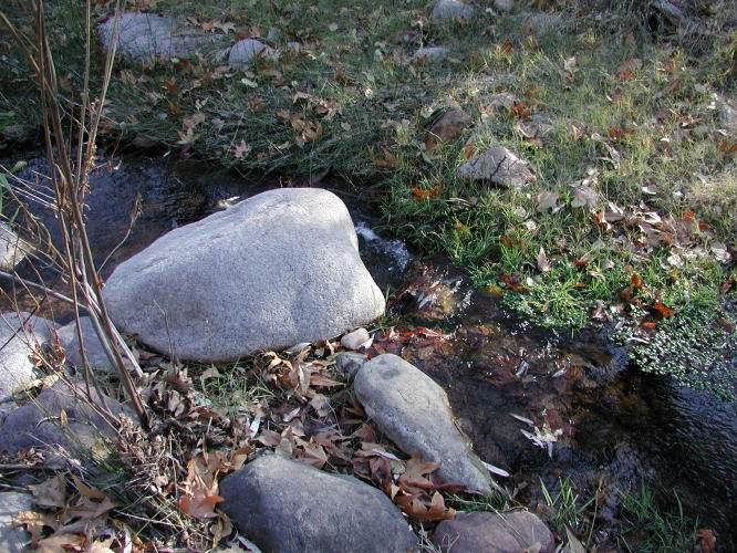
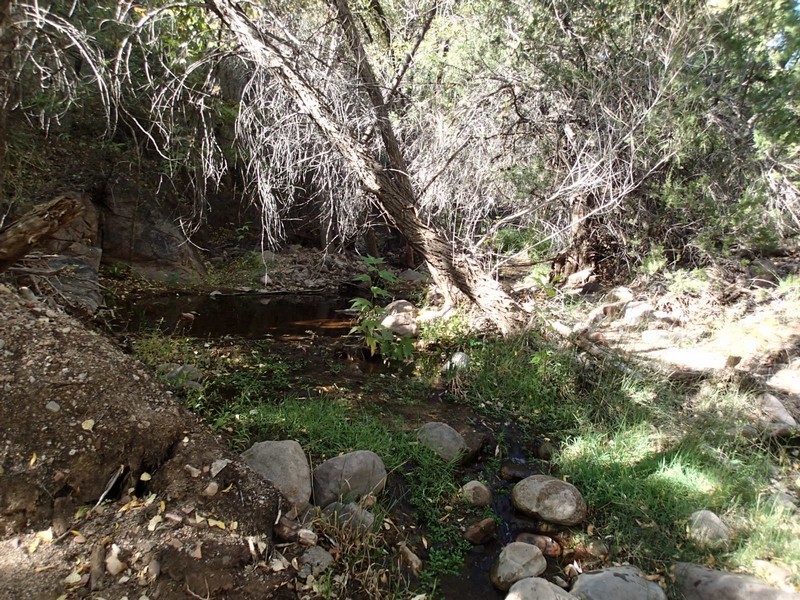
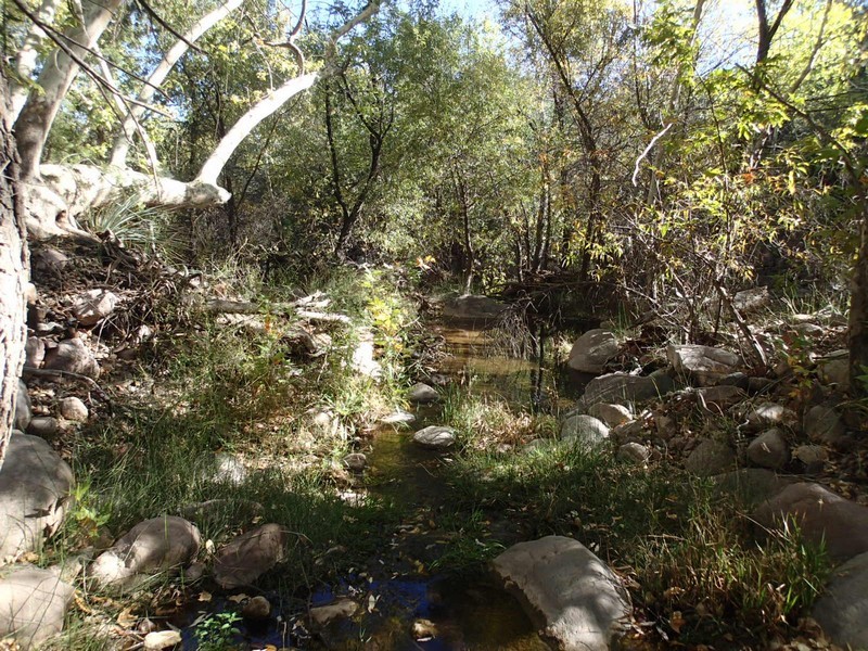
Hike up Campaign creek to Brushy Spring in the Superstition Wilderness, Arizona.
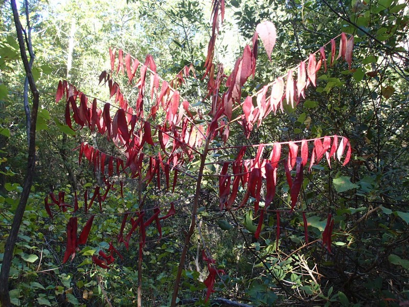
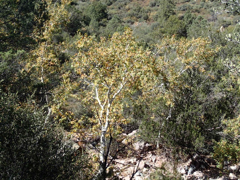
I'm continuously amazed at the amount of lush green trees in the Superstition mountain range where there is perennial water. There are plenty of Sycamore and Cottonwoods along this route. This is another fine hike to take during the fall while the leaves are changing. There are a good amount of grazing cattle here, some with sharp horns. Give the nice cows a wide birth.
This hike starts next to the Revis Mountain School. Follow the marked signs for the Campaign Trail #256. This trail takes you around the private school and back to the creek. The trail follows the perennial creek, meeting the Revis gap trail after 0.7 miles (JCT_1L on the map). Stay left on the signed Campaign Creek trail. The trail crosses the creek a few times, but keeping your feet dry should be no problem.
After 2.7 miles, you will reach the Pinto Creek Trail Junction (JCT_2R on the map). It is tough to find the right junction, but the clear trail is to the right, which is also where you want to go. So stay right again and continue another mile down Horrell creek to Brushy Spring. Brushy spring can be tough to find depending on the time of year, but it's really just an arbitrary turn around point to make a lovely day hike in the Superstition Wilderness.
Return by the same route.
