
- Hikes in Arizona
- Phoenix Area and Central Arizona
- Dixie Mine Trail
Dixie Mine Trail
Location
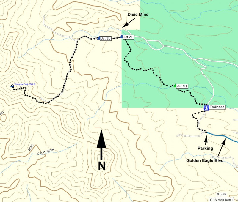
In the Phoenix area, take state HWY-87 towards Payson. Turn left onto Shea Blvd into Fountain Hills. From Shea Blvd turn right onto Palisades Blvd. Then take a left onto Golden Eagle Blvd. Take Golden Eagle Blvd to the end of the road and a parking area.
Hike details
Season
- January
- February
- March
- April
- October
- November
- December
- July
- August
Solitude
Difficulty
Permits
Hike to the Dixie mine near Phoenix, Arizona
From the parking area, you need to walk about 10 minutes through a subdivision under construction to get to the actual trail. There is a map at the parking area, but there are no signs on the roads. As you enter the subdivision, turn right onto the third right street. The wide and well traveled trail is on the left side of the road. There is a spot to pay the $2 entry fee into the park here.
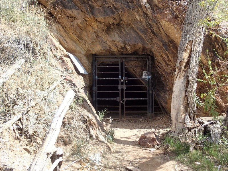
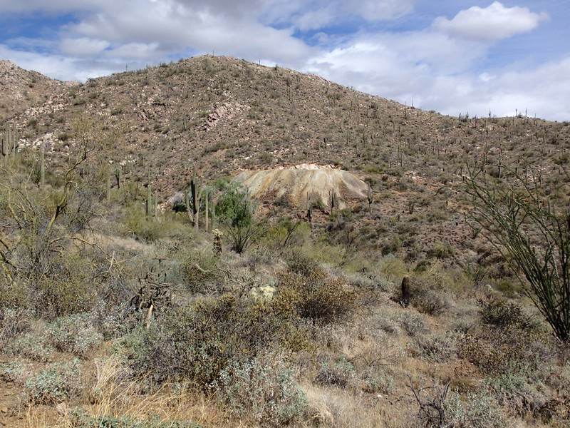
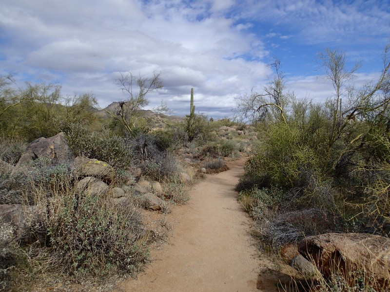
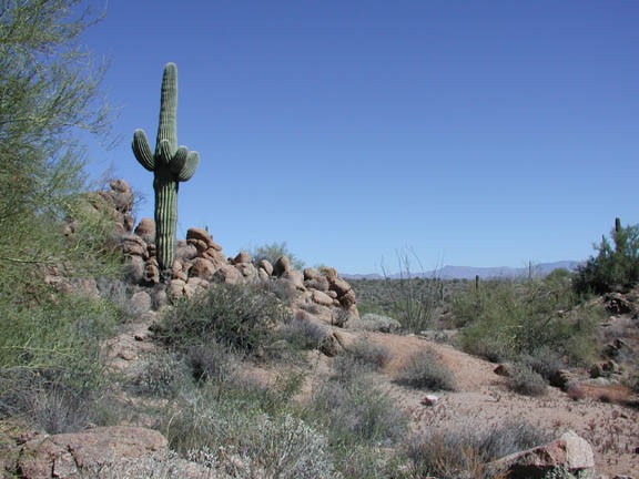
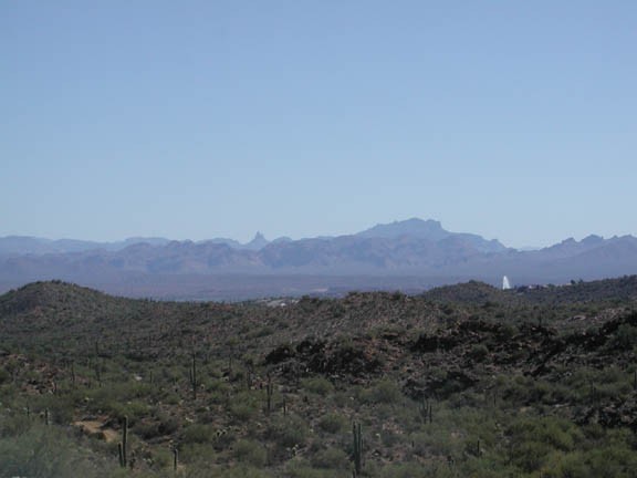
The well marked trail heads through the desert. There are plenty of Saguaro and Palo Verde here. The trail has some up and down, but generally heads up. Views behind you of the Superstitions and in front of you of the McDowell Mountains open up as you hike. Be sure to stop and look around once in a while. After 2.5 miles of hiking, you will reach a dirt road (closed to motor vehicles). You can see the tailings of the mine directly in front of you (marked on the map as Jct 2L), along with some large cottonwood trees in a wash. Go right onto this road and look for the trail along your left that leads up to the top of the tailings. The entrance to the mine is at the top of this short trail.
The mine never really yielded much wealth, but there is a nice view of the Superstition Mountains from here.
Return the way you came.
