
- Hikes in Arizona
- Phoenix Area and Central Arizona
- Elephant Mountain Loop (Spur Cross)
Elephant Mountain Loop (Spur Cross)
Location
To get to the trailhead: from the Phoenix/Mesa area, take I-17 North to the Carefree Hwy exit. Take the Carefree Highway East about 8.5 miles to Cave Creek Road. Turn left onto Cave Creek Road and drive about 2.7 miles to Spur Cross road. Drive North on Spur Cross road about 4.5 miles, with the last 1.5 miles being graded dirt road. The dirt road is in very good shape and is OK for passenger cars. As of April, 2005, there is a $3 fee to enter the conservation area. There are restrooms at the trailhead, but no water.
Hike details
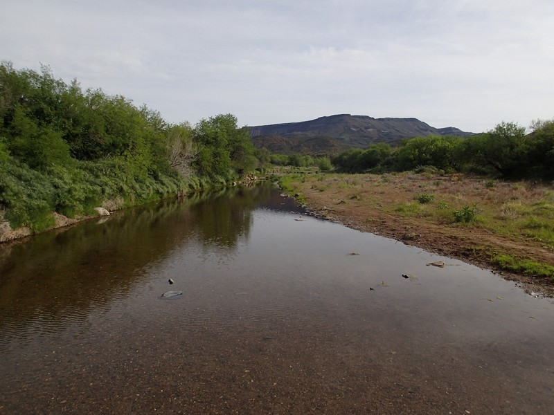
- Water
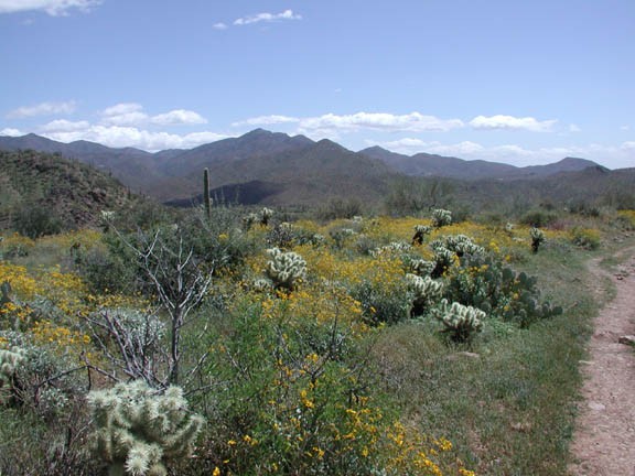
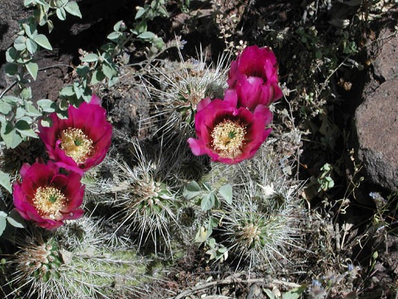
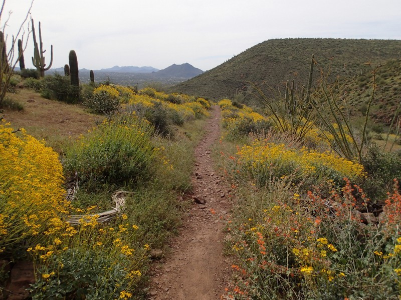
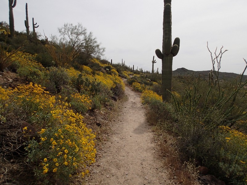
- Wild Flowers
Season
- January
- February
- March
- April
- October
- November
- December
- July
- August
Solitude
Difficulty
Permits
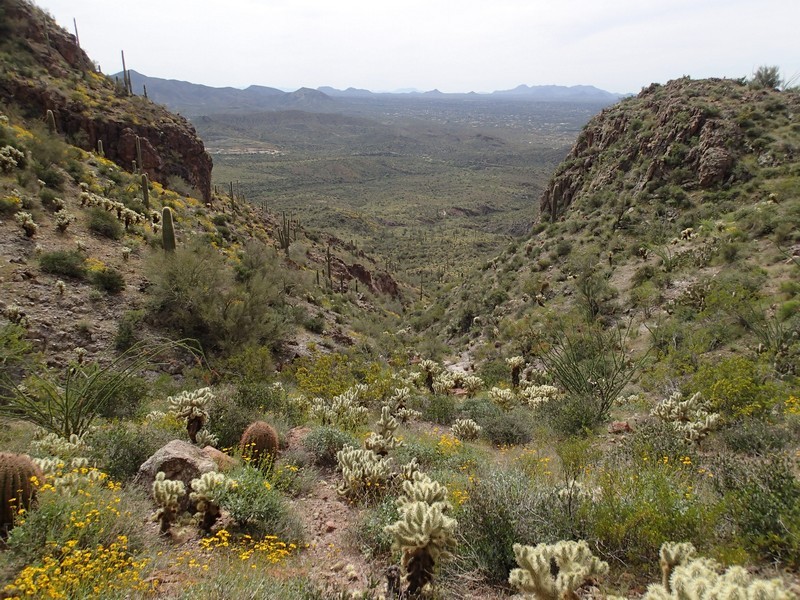
Hike the Elephant Mountain loop in the Spur Cross area near the Phoenix Arizona area.
The Spur Cross Ranch Conservation area is one of the newer members of the Maricopa County Park system. The conservation area borders the Tonto National forest to the North and provides an accessible area for hikers to enjoy this still pristine desert.
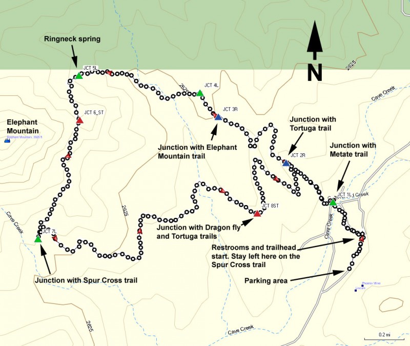
The hike starts at the Spur Cross Road parking area. There are two trails here, with the Spur cross trail heading West being the one we are interested in. So when you reach the restrooms and trailhead sign, turn left.
This trail starts out along an old jeep road and quickly crosses Cave Creek, which was running when we did this hike. There's a nice little bridge that will keep your feet dry as you continue generally North-West along this trail. After crossing the creek, stay left at the junction with the Metate trail (JCT 1L on the map).
You trail is quickly isolated from any views of civilization, which is just the way we like it. After 1.1 miles of hiking, the Tortuga trail splits off to the left JCT 2R on the map). We want to continue straight ahead on the Elephant Mountain trail. All the trail junctions along this hike were well signed. Stay right at another signed trail junction after an additional 0.6 miles of hiking (JCT 3R on map). Then after another 0.2 miles of hiking, stay left at the signed trail junction (JCT 4L on map).
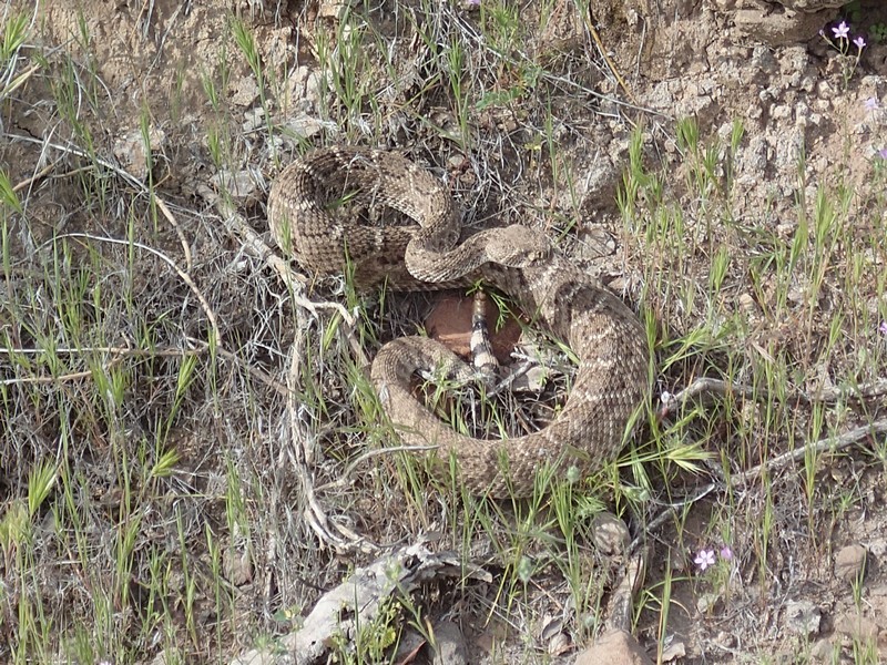
This point along the Elephant Mountain trail is not maintained and generally less traveled. Watch your footing here, as the steep descent and gravel make this a typical place to take a spill. The trail quickly makes it's way to a dry wash. Keep a good eye out for the Cairns marking the trails in and out of this wash. Eventually, you will leave the wash and start a steady climb up the East side of Elephant Mountain. When you reach Ringneck spring, there is another signed trail junction (JCT 5L on the map). Turn left here to stay on the Elephant Mountain trail, which heads generally South. At the top of a saddle on Elephant Mountain is a decent view of civilization again. To your right is the peak of Elephant Mountain. There is a spur trail to the left here, but it is closed and that's not the route we want (JCT 6_ST on the map), so continue straight here. Now you lose some of the elevation and the views change to distant views of the surrounding desert as well as some civilization. At the signed junction with the Spur Cross trail (JCT 7L on map), turn left. This will take you back towards the start of the hike.
After hiking another 1.7 miles from the last trail junction, you'll reach a four way trail junction with the Dragonfly and Tortuga trails (JCT 8ST on the map). Continue straight here and stay on the Spur cross trail for the remainder of the hike. Don't forget to turn right when you reach JCT 2R, which will lead you back to the trailhead start.
