Ready for a hike?  We've got hundreds of well documented Arizona hikes.
This is the source for everything you need to know about Arizona Hiking.

Main menu

Cart Empty

You are here: ArizonaHiking.org

Willow Springs Lake Trail

Updated
Willow Springs lake
Willow springs lake as seen from the Willow Springs Lake trail
Along the Willow Springs Lake trail
Willow springs lake as seen from the Willow Springs Lake trail
Happy Ridgeback playing in Willow Springs lake
Willow springs lake as seen from the Willow Springs Lake trail
Bridge and Ridgeback on the Willow Springs lake trail
Willow Springs lake trail
Two happy dogs along the Willow Springs Lake trail
map: Willow Springs Lake trail
Elevation plot: Willow Springs Lake trail

Location

How to Get There
This hike is located near Payson, AZ.

To get to the trailhead: from the Phoenix area, take HWY-87 North toward Payson. Once in Payson, take HWY-260 East towards Heber. After 32 miles of driving, make a left at the signed FR149 towards Willow Springs Lake. It's about 1 mile to the lake.
city
Star Valley
state
AZ
country
USA
Region
Mogollon Rim

Hike details

Distance
6.70 [Miles] Total
Hike Distance- Details
The loop around the lake is 6.7 miles.
Time
4.00 [Hours]
Time-details
It took us four hours, but we also stopped to fish for a while.
Elevation Change
0 Total gain/loss [Feet]
Elevation Details
nothing to speak of.
Hike Trail Type
Loop
Special Features
Water

Season

Best Season
  • June
  • July
  • August
Worst Season
  • January
  • February
  • December
Season Details
Summer
Date Hike completed
June 11, 2005

Solitude

Solitude
Medium
Solitude Details
This is a very popular place to fish and relax. Areas close to the parking lot are very popular. There is more solitude on the other side of the lake so I'd recommend heading there at your earliest opportunity.

Difficulty

Difficulty Rating
Moderate
difficulty detail
30 yr old Recommendation: Bring your fishing pole. This is a moderate difficulty hike due to the route finding to stay on trail.

Permits

Be Aware of
The trail can be a bit rocky and route finding is necessary to stay on the trail.

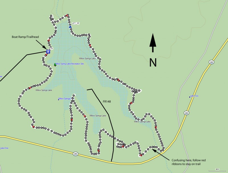
Loop hike around Willow Springs Lake using the Willow Springs Lake trail in Arizona.

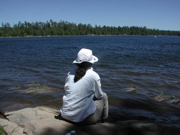
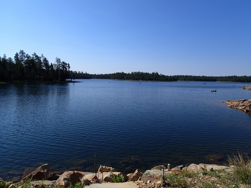
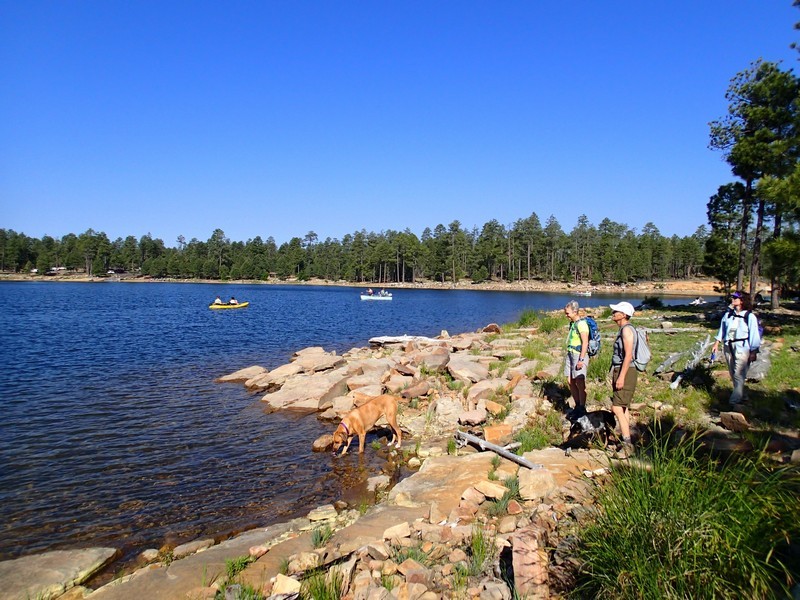
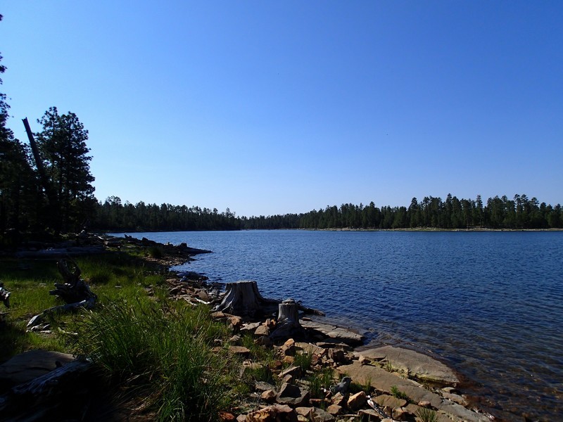
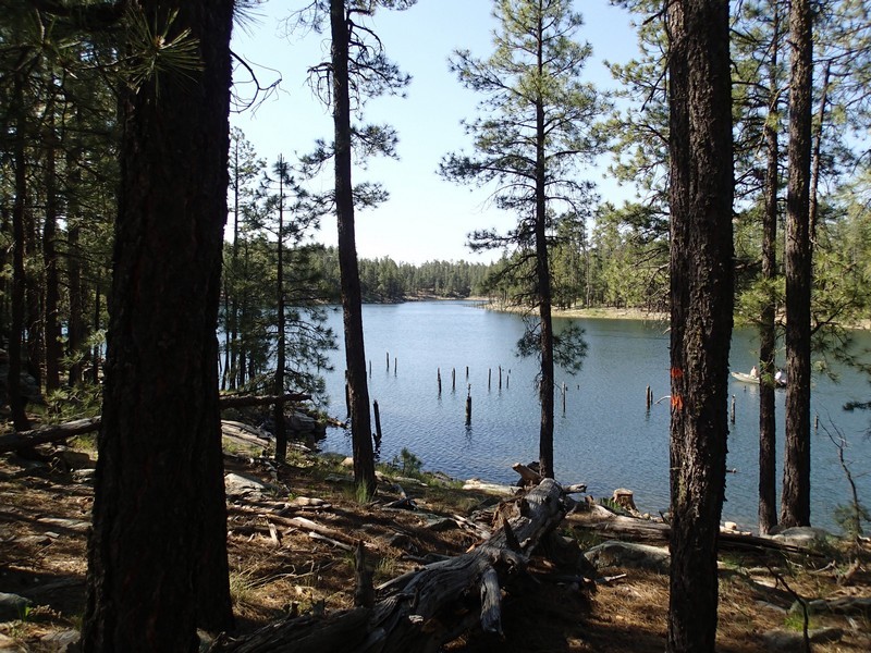
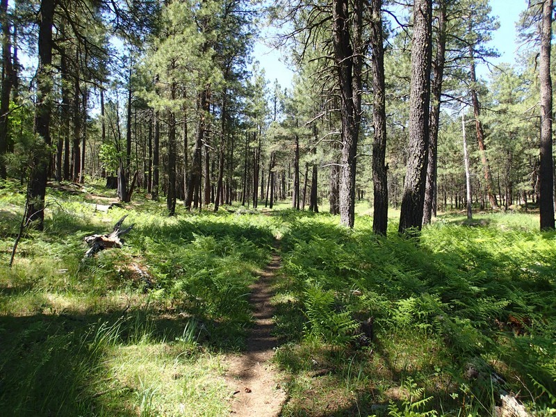
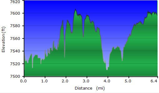
The Willow Springs Lake is one several very popular fishing lakes along the Mogollon rim. The 6.7 mile loop trail is mostly a fishing trail so those with a rod and reel can access the entire parameter of the lake. Luckily for us hikers, it is also a pleasant walk.

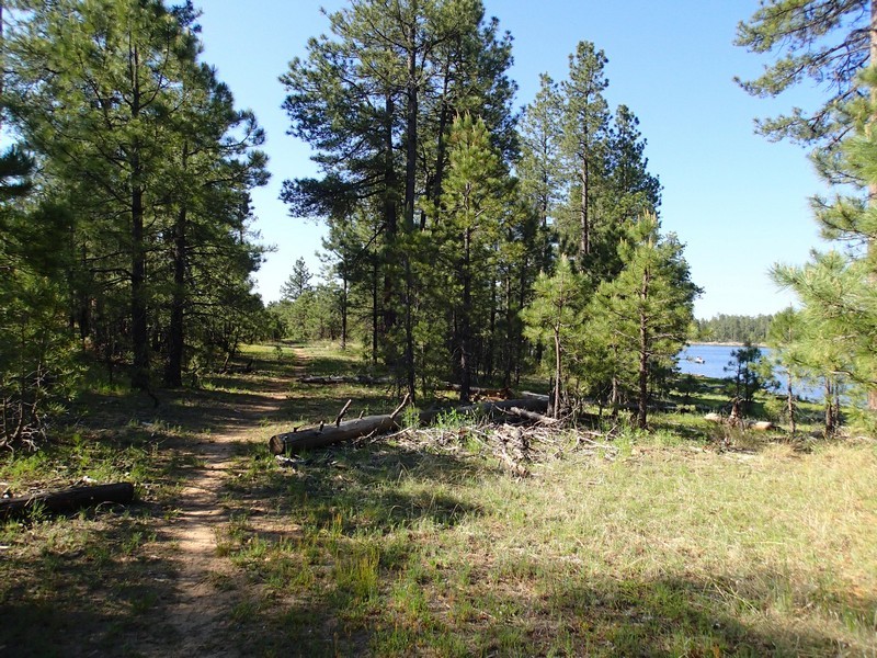
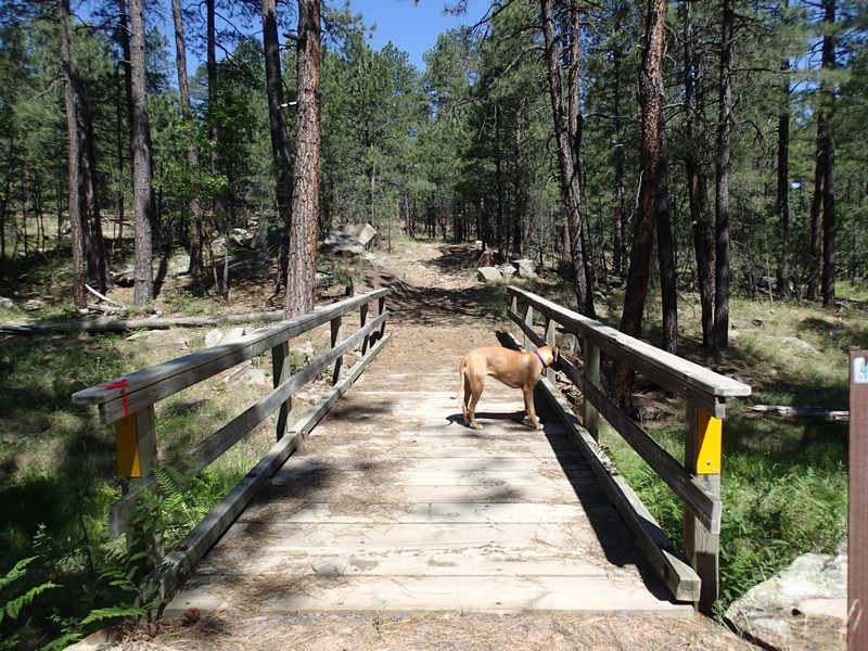
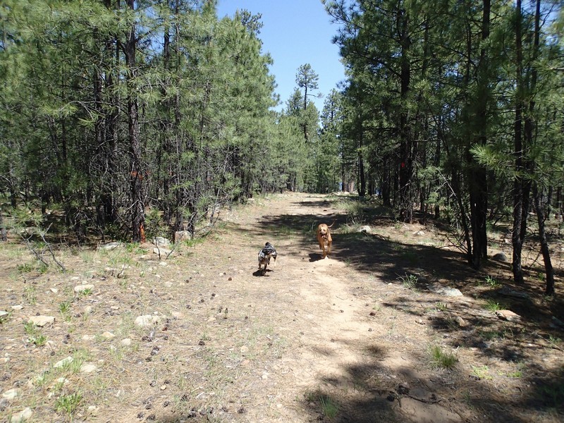
The trail starts from the parking area. The trail is not signed and can be tricky to follow. There was a good amount of dead fall and pine needles hiding the trail much of the time. Thankfully, if you get confused, you can always just follow the edge of the lake. Most of the lazy car people will stay close to the parking area, so the further you walk, the more you can enjoy this lake without an audience. If you are confused about where the trail is, the first half of the trail is marked by blue ribbons, while the second half of the trail is marked by red ribbons. Sometimes the trail hugs close to the shore and other times it is a bit of distance from the lake.

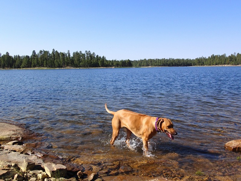
Be sure to bring a fishing pole and enjoy this pretty area.

Map

Swap Start/End
Adding markers to the map ...
Facebook