
- Hikes in Arizona
- Sedona
- Soldier's pass and devil's kitchen
Soldier's pass and devil's kitchen
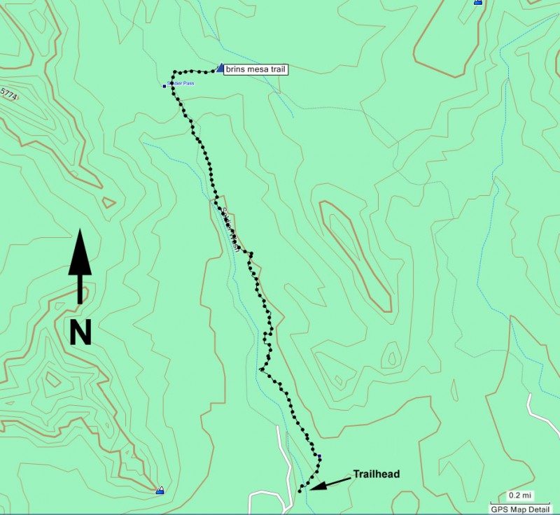
Location
From the Phoenix area, take I-17 North to exit 298 to HWY 179 West into Sedona. Follow the signs to 89A West. Turn right 1.2 miles after the junction on Soldier Pass Road, driving another 1.4 miles. Turn right on Rim Shadows and follow the curve 0.2 miles to the junction of Rim Shadows and Canyon Shadows. Follow the signs to the parking area along Canyon Shadows Road.
Hike details
Season
- April
- May
- October
- November
Solitude
Difficulty
Permits
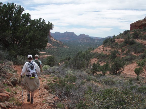
Hike along the Soldier's pass trail and Devil's kitchen in Sedona, Arizona.
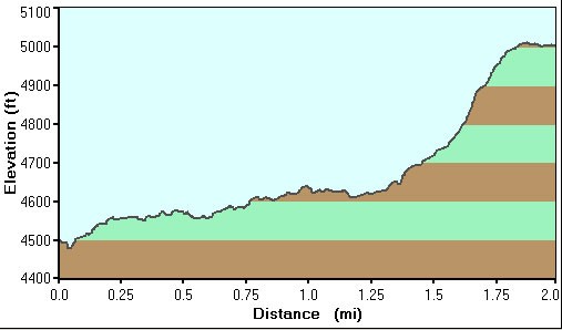
This hike enables you to get up close with some of the more unique features of the Sedona canyons. There is a cool sink hole that you reach after about 1/4 of a mile. Stay on the trail (marked by Cairns) and stay away from the Jeep road. The walking trail follows (not to closely) along the right side of the Jeep road.
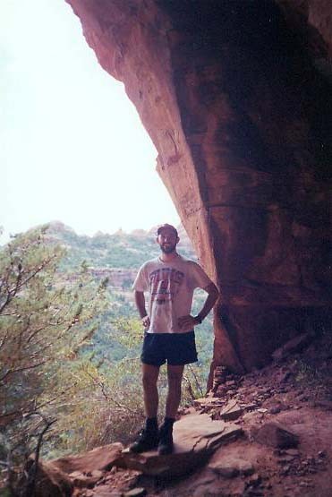
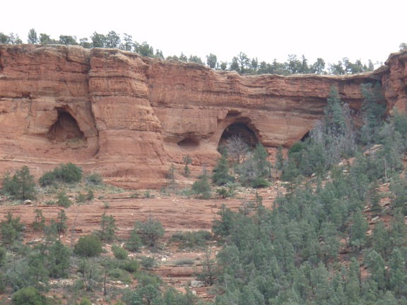
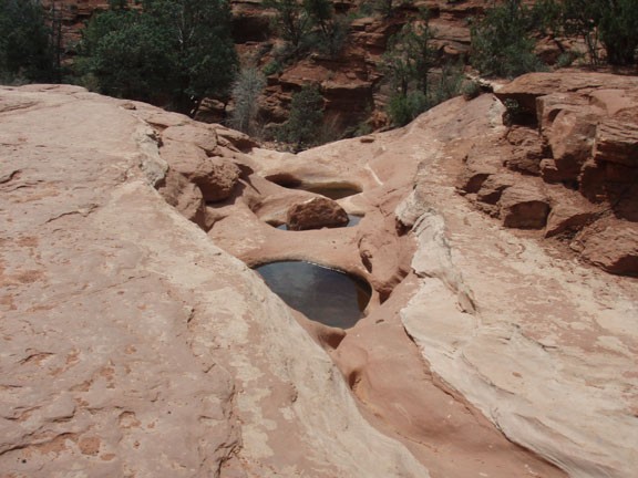
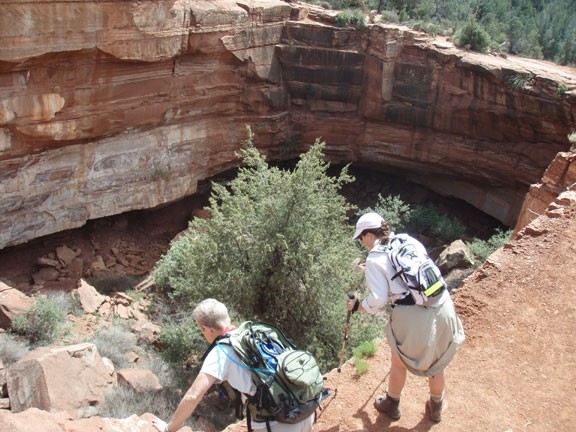
Further along the trail are seven holes caved out of the slickrock known as the 'Seven Sacred Pools'. These don't quite live up to their name, as they're just some pockets that catch seasonal water. Once past the wilderness boundary, take the right fork to hike up to the arches (or the left fork to hike to the Brin's Mesa trail). I thought the arches were the most interesting feature of this hike. You can hike right up to them and climb around. Watch your step!
